Near Fort Oglethorpe in Catoosa County, Georgia — The American South (South Atlantic)
7th Pennsylvania Cavalry
Minty's Brigade
| — | Crook's Division | — |
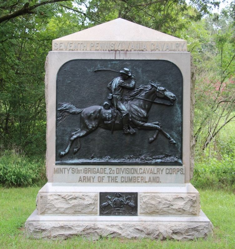
Photographed by Dale K. Benington, August 23, 2016
1. 7th Pennsylvania Cavalry Marker
View of the front side of the monument.
Minty's (1st) Brigade, 2d Division, Cavalry Corps.
Army of the Cumberland
Text on the back side of the monument:
Encountered the enemy, Johnson's Division of Hood's Corps, already in line of battle, on the Ringgold Road in the Valley of Pea Vine Creek, three miles east of this point at 7 a.m. September 18th, 1863, there at that hour John Ward of Company F was killed. With the other regiments of the brigade engaged and retarded the enemy and prevented him from crossing Chickamauga Creek at Reed's Bridge until 3 p.m.
Reed's Bridge was partially dismantled but restored by the enemy. The Regiment retired with Wilder's Brigade toward Viniard's House, skirmishing until dark, where it dismounted and remained in line of battle throughout the night. September 19th, 1863, engaged in protecting trains moving to Rossville. September 20th, 1863, guarded left flank at Graysville, Chickamauga Station and Red House Bridge, where Scott's Brigade of Pegram's Cavalry was encountered and driven east across the creek. September 21st, 1863, from 7 a.m. until
this page online
Organized at Harrisburg, Pennsylvania, November 18th, 1861.
Disbanded at Harrisburg, Pennsylvania, August 23d, 1865.
Erected 1890 by State of Pennsylvania. (Marker Number MT-1044.)
Topics. This memorial is listed in this topic list: War, US Civil. A significant historical date for this entry is September 18, 1863.
Location. 34° 55.858′ N, 85° 13.732′ W. Memorial is near Fort Oglethorpe, Georgia, in Catoosa County. It is at the intersection of Reed's Bridge Road and Jays Mill Road, on the right when traveling west on Reed's Bridge Road. This monument is located in the national park that preserves the site of the Chickamauga Battlefield, along the park roadway called Reed's Bridge Road, at the park's site where the Reed's Bridge crossing was contested. According to the location information provided by the National Park Service, “Monument located within the Chickamauga Battlefield at Jay's Mill Field, map site #19". Touch for map. Memorial
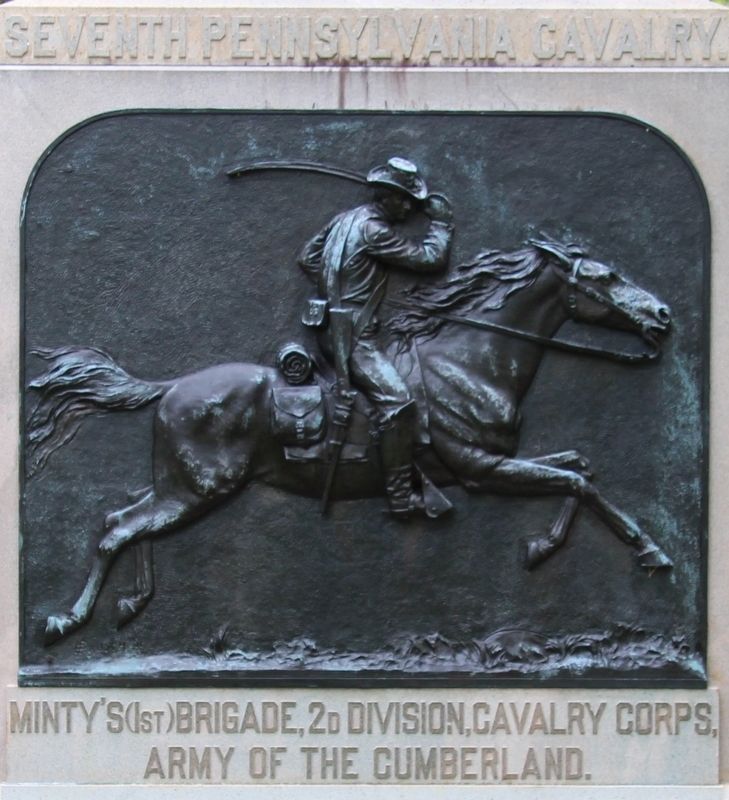
Photographed by Dale K. Benington, August 23, 2016
2. 7th Pennsylvania Cavalry Marker
Close-up view of both the text and the bronze relief panel on the front side of the monument.

Regionally, this memorial is in the Mountains. It is also in the American South and specifically in the Deep South. Globally, it is in North America, the Western Hemisphere, the Western World, and the Anglosphere. Historically, it finds itself in what was once the original Cherokee Nation, the territory of the Mississippian Culture, one of the original Thirteen Colonies, one of the Confederate States of America, and the Antebellum South.
Other nearby markers. At least 8 other markers are within walking distance of this marker: 4th Michigan Cavalry (within shouting distance of this marker); Dibrell's Brigade (within shouting distance of this marker); Johnson's Provisional Division (within shouting distance of this marker); 4th United States Cavalry (within shouting distance of this marker); Confederates Cross the Creek (within shouting distance of this marker); Minty's Cavalry Brigade (within shouting distance of this marker); Pegram's Division (about 600 feet away, measured in a direct line); Huwald's Tennessee Battery
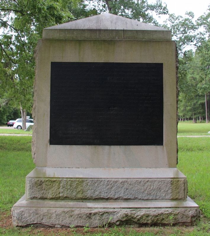
Photographed by Dale K. Benington, August 23, 2016
3. 7th Pennsylvania Cavalry Marker
View of the back side of the monument.
More about this memorial. According to the description information provided by the National Park Service, the marker is, “9' x 4' x 11', monument has a 2-step, rock-faced base with bronze state seal in upper step. Rectangular shaft has bronze relief panel of charging cavalryman and raised letter unit designation above and below. Pyramidal capstone."
I used the "Chickamauga Battlefield" map, that I purchased at the Chickamauga and Chattanooga National Military Park, Visitor Center, to determine both the marker number for this monument and the monument's location in relation to the rest of the park's monuments, markers, and tablets. According to the map it provides the, "numerical listing of all monuments, markers, and tablets on the Chickamauga Battlefield (using the Chick-Chatt NMP Monument Numbering System).”
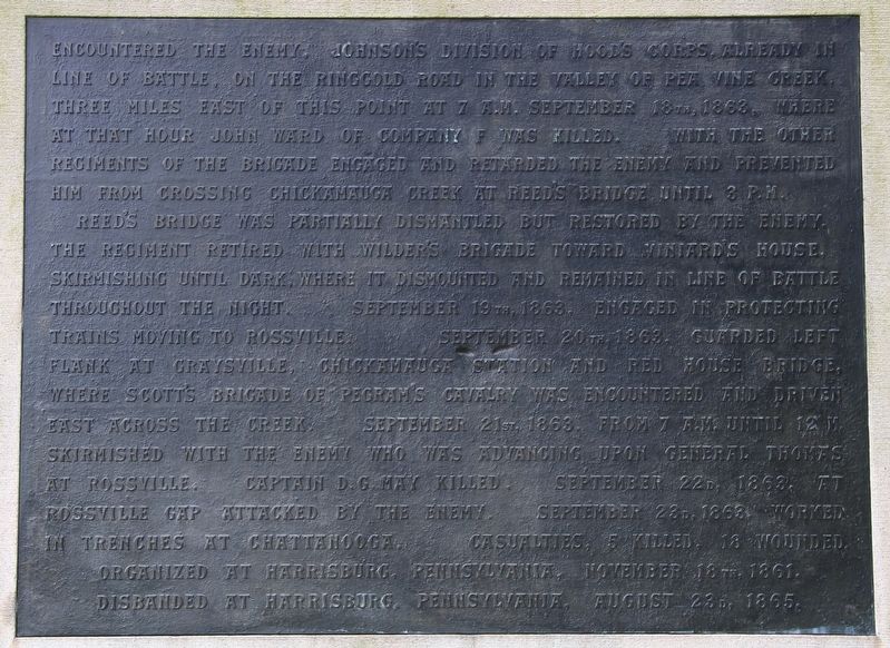
Photographed by Dale K. Benington, August 23, 2016
4. 7th Pennsylvania Cavalry Marker
Close-up view of the text on the back side of the monument.
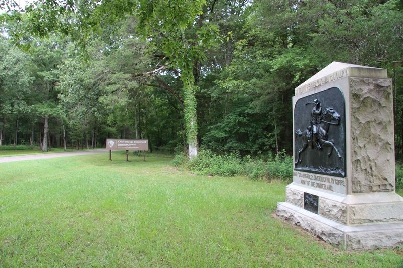
Photographed by Dale K. Benington, August 23, 2016
5. 7th Pennsylvania Cavalry Marker
View of the monument looking west along the Reed's Bridge Road.
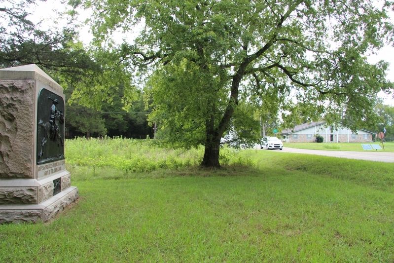
Photographed by Dale K. Benington, August 23, 2016
6. 7th Pennsylvania Cavalry Marker
View of the monument looking east along the Reed's Bridge Road.
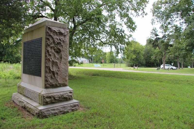
Photographed by Dale K. Benington, August 23, 2016
7. 7th Pennsylvania Cavalry Marker
View from the backside of the monument, looking south, towards the intersection of Jay's Mill and Reed's Bridge Roads.
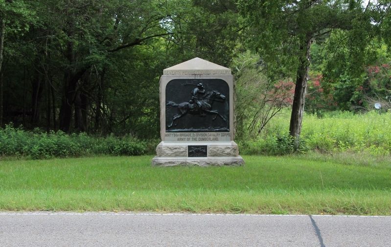
Photographed by Dale K. Benington, August 23, 2016
8. 7th Pennsylvania Cavalry Marker
View of the monument. looking north, from the Reed's Bridge Road.
Credits. This page was last revised on October 15, 2020. It was originally submitted on November 2, 2016, by Dale K. Benington of Toledo, Ohio. This page has been viewed 1,028 times since then and 99 times this year. Photos: 1, 2, 3, 4, 5, 6. submitted on November 2, 2016, by Dale K. Benington of Toledo, Ohio. 7, 8. submitted on November 3, 2016, by Dale K. Benington of Toledo, Ohio.
