Marker Logo HMdb.org THE HISTORICAL
MARKER DATABASE
“Bite-Size Bits of Local, National, and Global History”
Near Bloomington in Bear Lake County, Idaho — The American West (Mountains)
 

British Settlers

Bear Lake

— LDS Church —


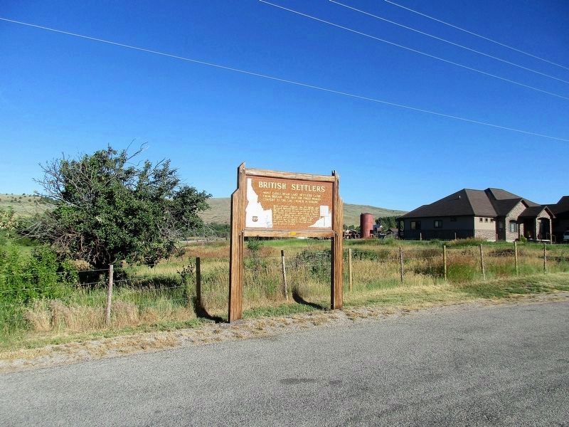
British Settlers Marker image. Click for full size.
Photographed By Rev. Ronald Irick, July 15, 2016
1. British Settlers Marker
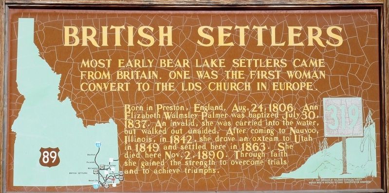
Inscription. Most early Bear Lake settlers came from Britain. One was the first woman convert to the LDS church in Europe.

Born in Preston, England, Aug. 24, 1806. Ann Elizabeth Walmsley Palmer was baptized July 30, 1837. An invalid, she was carried into the water, but walked out unaided. After coming to Nauvoo, Illinois in 1842, she drove an ox team to Utah in 1849 and settled here in 1863. She died here Nov. 2, 1890. Through faith she gained the strength to overcome trials and to achieve triumphs.
 
Erected by Idaho Transportation Department Idaho Historical Society. (Marker Number 319.)
 
Topics and series. This historical marker is listed in these topic lists: Churches & ReligionRoads & VehiclesSettlements & Settlers. In addition, it is included in the Idaho State Historical Society, the Mormon Pioneer Trail, and the Oregon Trail series lists.
 
Location. 42° 11.033′ N, 111° 24.094′ W. Marker is near Bloomington, Idaho, in Bear Lake County. Marker is on National Park Highway/Oregon Trail (U.S. 89), on the right when traveling south. Touch for map. Marker is at or near this postal address: 124 S Main St, Bloomington ID 83223, United States of America. Touch for directions.
 
Other nearby markers. At least 8 other markers are within 5 miles of this marker, measured as the crow flies.

Paid Advertisement
Click on the ad for more information.
Please report objectionable advertising to the Editor.
Click or scan to see
this page online
Bloomington (approx. 0.3 miles away); Thomas Sleight Cabin (approx. 2.7 miles away); Our First Church (approx. 2.8 miles away); Paris (approx. 2.9 miles away); Charles Coulson Rich (approx. 2.9 miles away); Paris Tabernacle (approx. 2.9 miles away); St. Charles (approx. 4.9 miles away); Gutzon Borglum Monument (approx. 5 miles away).
 
Additional keywords. Oregon Trail
 
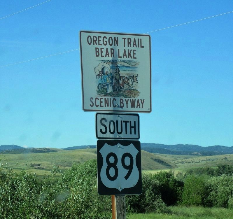
British Settlers Marker image. Click for full size.
Photographed By Rev. Ronald Irick, July 15, 2016
2. British Settlers Marker
Full view of marker from highway
British Settlers Marker image. Click for full size.
Photographed By Rev. Ronald Irick, July 15, 2016
3. British Settlers Marker
Typical terrain visible in background
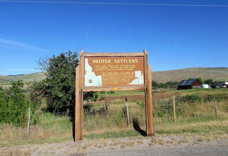
British Settlers Marker image. Click for full size.
Photographed By Rev. Ronald Irick, July 15, 2016
4. British Settlers Marker
A little farther south
 
 
Credits. This page was last revised on November 3, 2016. It was originally submitted on November 2, 2016, by Rev. Ronald Irick of West Liberty, Ohio. This page has been viewed 829 times since then and 41 times this year. Photos:   1, 2, 3, 4. submitted on November 2, 2016, by Rev. Ronald Irick of West Liberty, Ohio. • Bill Pfingsten was the editor who published this page.
Share this page.  
Share on Tumblr
m=99318

CeraNet Cloud Computing sponsors the Historical Marker Database.
This website earns income from purchases you make after using our links to Amazon.com. We appreciate your support.
Paid Advertisement
Apr. 19, 2024