Shell Beach in St. Bernard Parish, Louisiana — The American South (West South Central)
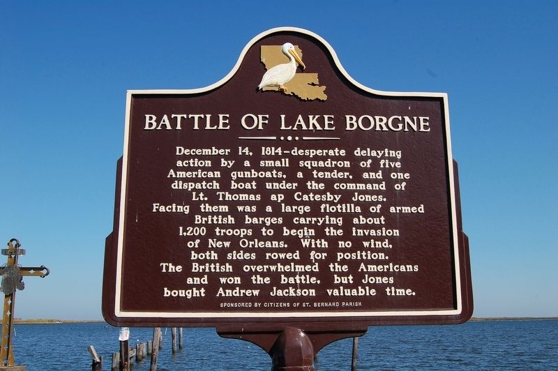
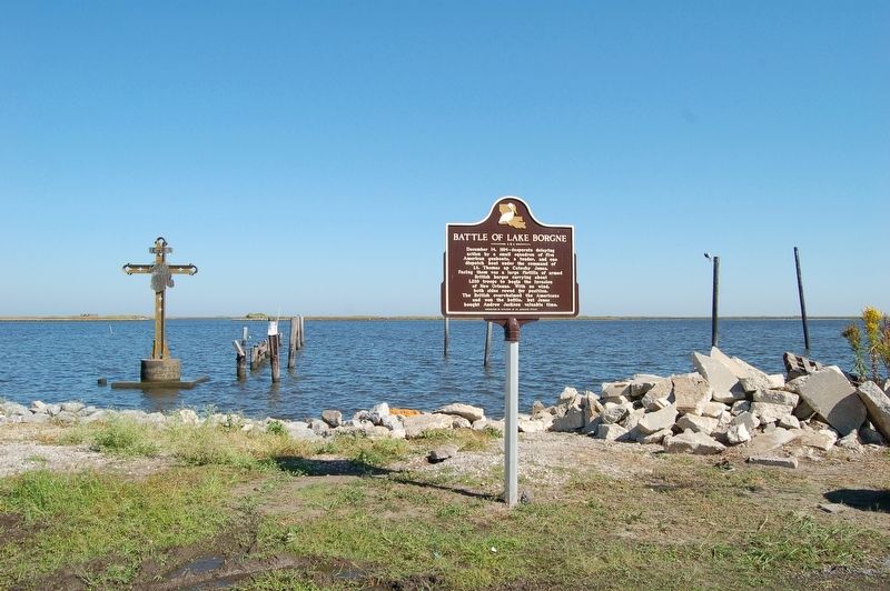
Battle of Lake Borgne
Erected by Citizens of St. Bernard Parish.
Topics and series. This historical marker is listed in these topic lists: War of 1812 • Waterways & Vessels. In addition, it is included in the Former U.S. Presidents: #07 Andrew Jackson series list. A significant historical date for this entry is December 14, 1814.
Location. 29° 51.304′ N, 89° 40.701′ W. Marker is in Shell Beach, Louisiana, in St. Bernard Parish. Marker is on Yscloskey Highway (State Highway 46) 1.4 miles east of Hopedale Highway (Highway 624), on the right when traveling east. Located at the eastern terminus of State Highway 46 at Shell Beach. Touch for map. Marker is at or near this postal address: 1320 Yscloskey Highway, Saint Bernard LA 70085, United States of America. Touch for directions.
Other nearby markers. At least 7 other markers are within 19 miles of this marker, measured as the crow flies. Saint Bernard Church (approx. 8.4 miles away); Terre-Aux-Boeufs Cemetery (approx. 8.4 miles away); Terre-Aux-Boeuf (approx. 10.9 miles away); St. Malo (approx. 10.9 miles away); Bayou Sauvage Ridge (approx. 18.3 miles away); Hurricane Katrina (approx. 18.3 miles away); Prehistoric Inhabitants of Bayou Sauvage (approx. 18.3 miles away).
Also see . . . Wikipedia entry on Battle of Lake Borgne. (Submitted on November 5, 2016.)
Credits. This page was last revised on December 9, 2022. It was originally submitted on November 4, 2016. This page has been viewed 688 times since then and 32 times this year. Photos: 1, 2, 3. submitted on November 4, 2016.


