Springfield in Washington County, Kentucky — The American South (East South Central)
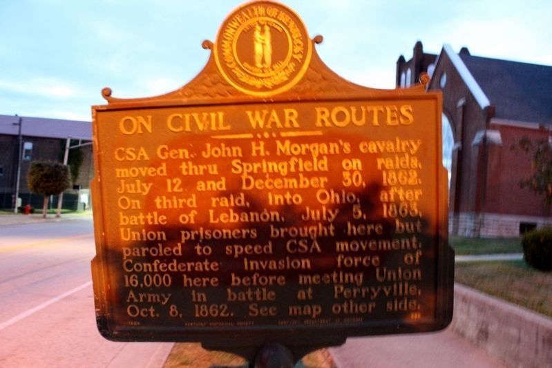
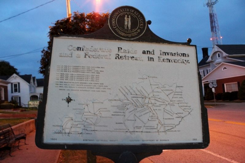
On Civil War Routes
Erected 1964 by Kentucky Historical Society & Kentucky Department of Highways. (Marker Number 689.)
Topics and series. This historical marker is listed in this topic list: War, US Civil. In addition, it is included in the Kentucky Historical Society series list. A significant historical date for this entry is July 12, 1862.
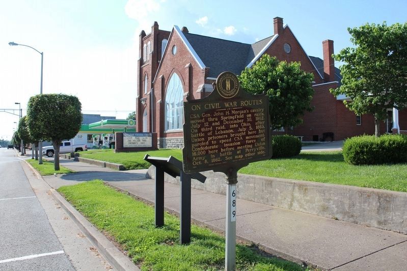
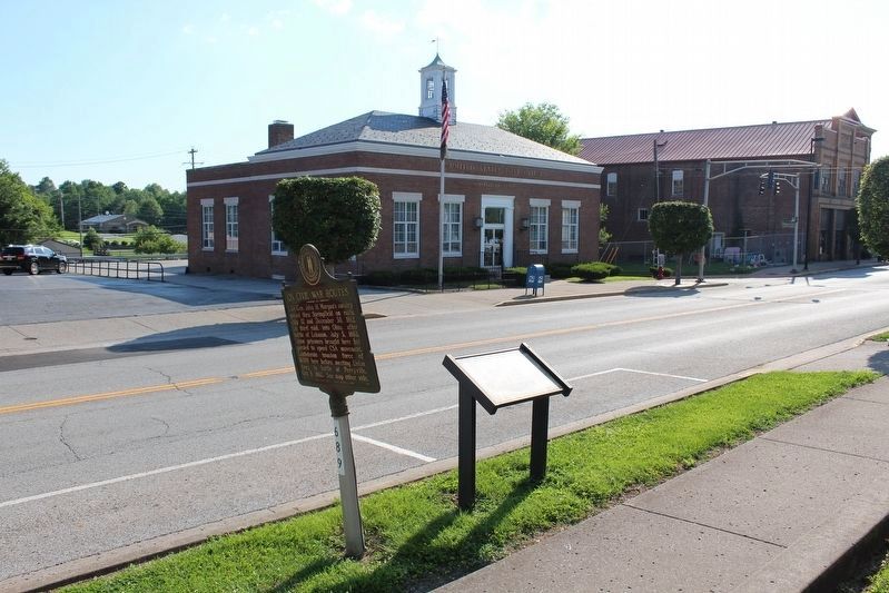
Location. 37° 41.074′ N, 85° 13.204′ W. Marker is in Springfield, Kentucky, in Washington County. Marker is at the intersection of East Main Street (Kentucky Route 152) and Walnut Street (Kentucky Route 1584), on the left when traveling east on East Main Street. Touch for map. Marker is at or near this postal address: 221 E Main Street, Springfield KY 40069, United States of America. Touch for directions.
Other nearby markers. At least 8 other markers are within walking distance of this marker. Morgan in Springfield (here, next to this marker); Washington County (within shouting distance of this marker); You are in The Holy Land! (about 300 feet away, measured in a direct line); John Pope, 1770-1845 (about 400 feet away); Felix Grundy (1777 - 1840) (about 400 feet away); In Honor of Louis Sansbury (about 500 feet away); House of History (about 500 feet away); Lincoln - Hanks (about 500 feet away). Touch for a list and map of all markers in Springfield.
Credits. This page was last revised on August 12, 2018. It was originally submitted on November 7, 2016, by Tom Bosse of Jefferson City, Tennessee. This page has been viewed 338 times since then and 21 times this year. Photos: 1, 2. submitted on November 7, 2016, by Tom Bosse of Jefferson City, Tennessee. 3, 4, 5. submitted on August 12, 2018, by Tom Bosse of Jefferson City, Tennessee. • Bernard Fisher was the editor who published this page.
