The Loop District in Chicago in Cook County, Illinois — The American Midwest (Great Lakes)
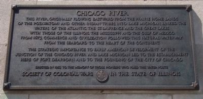
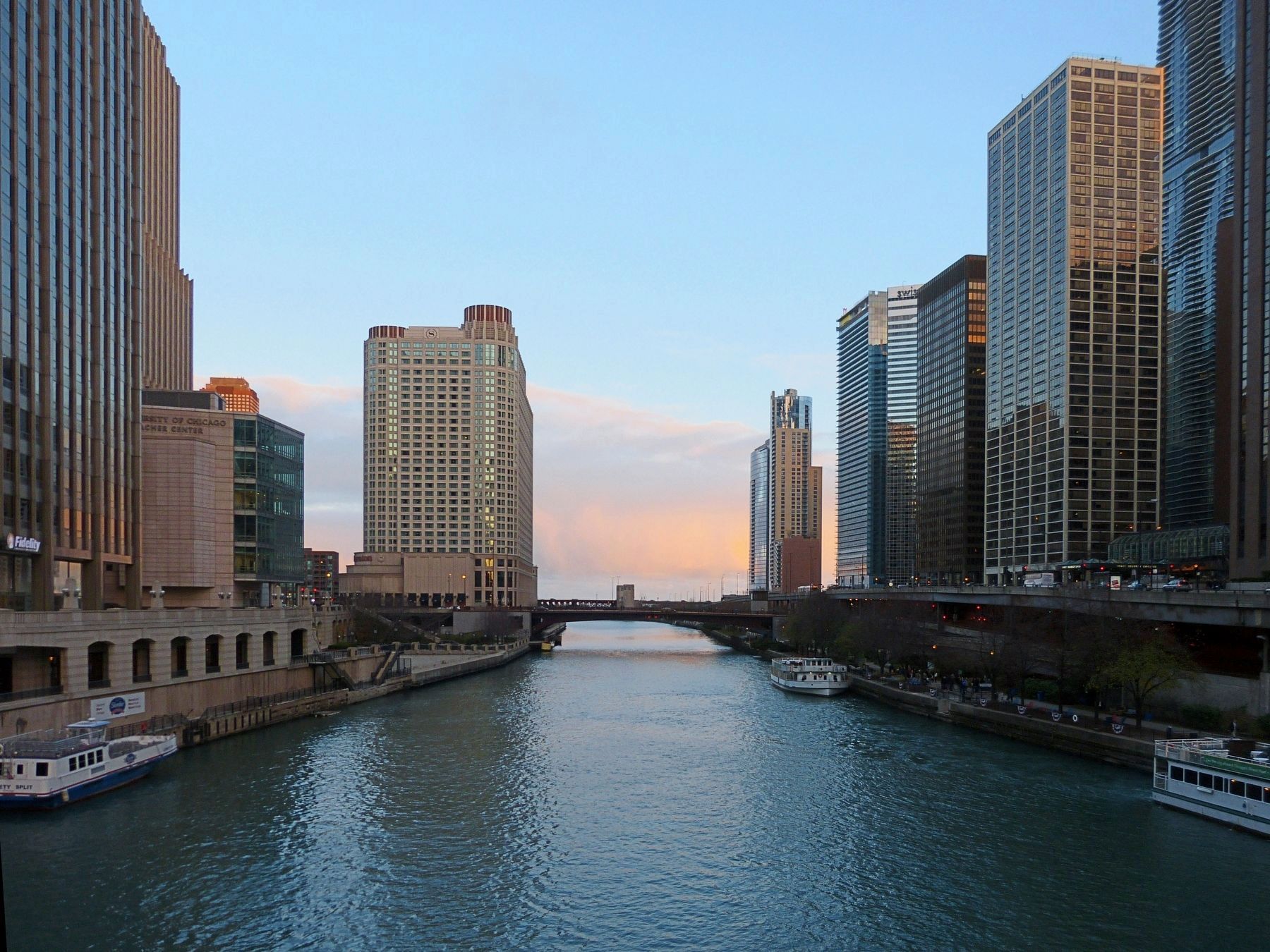
Chicago River
The strategic importance to early American development of the junction of the Chicago River and Lake Michigan led to the establishment here of Fort Dearborn and to the founding of the City of Chicago Erected in 1953 to the memory of those pioneers who plied this water route.
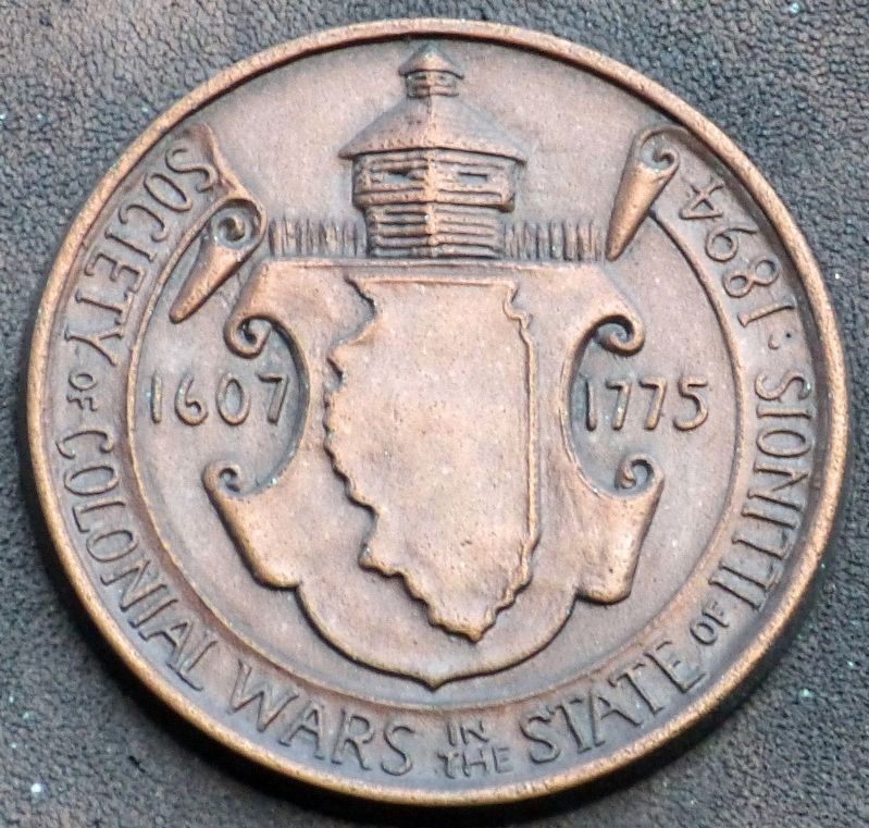
Erected 1953 by Society of Colonial Wars in the State of Illinois.
Topics. This historical marker is listed in these topic lists: Exploration • Waterways & Vessels. A significant historical year for this entry is 1673.
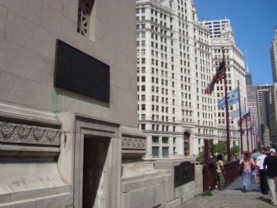
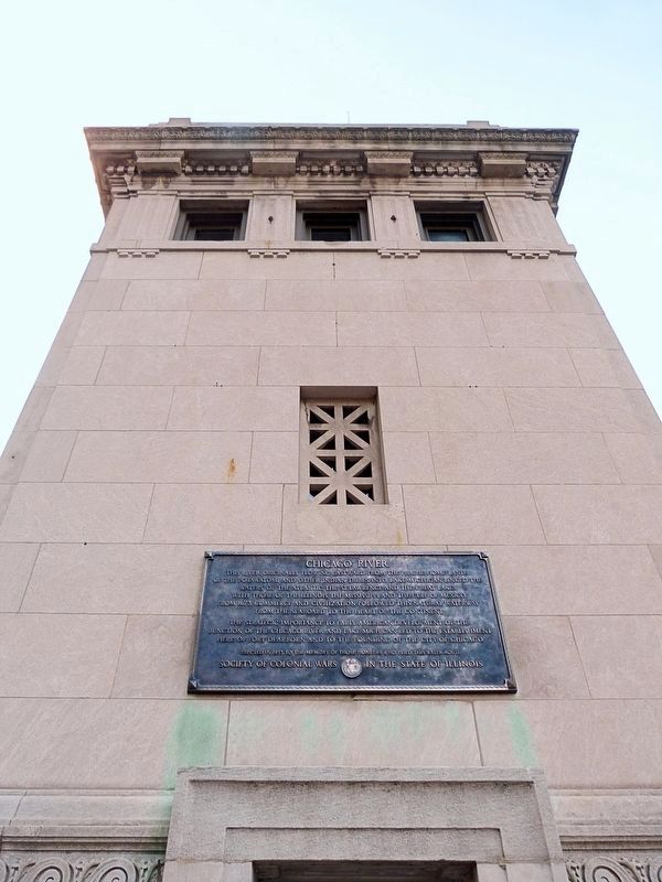
Location. 41° 53.306′ N, 87° 37.476′ W. Marker is in Chicago, Illinois, in Cook County. It is in The Loop District. Marker is at the intersection of North Michigan Avenue and East Wacker Drive on North Michigan Avenue. The marker is located on the southeast corner of the Michigan Street Bridge. Touch for map. Marker is in this post office area: Chicago IL 60601, United States of America. Touch for directions.
Other nearby markers. At least 8 other markers are within walking distance of this marker. Rene Robert Cavalier Sieur de La Salle (here, next to this marker); Fort Dearborn (here, next to this marker); Site of Fort Dearborn (a few steps from this marker); Regeneration (within shouting distance of this marker); Old Fort Dearborn (within shouting distance of this marker); 333 North Michigan Building (within shouting distance of this marker); Louis Jolliet & Père Jacques Marquette (about 300 feet away, measured in a direct line); Green Bay Road (about 300 feet away). Touch for a list and map of all markers in Chicago.
Credits. This page was last revised on January 30, 2023. It was originally submitted on September 28, 2011, by Barry Swackhamer of Brentwood, California. This page has been viewed 1,101 times since then and 29 times this year. Last updated on November 12, 2016, by Allen C. Browne of Silver Spring, Maryland. Photos: 1, 2. submitted on September 28, 2011, by Barry Swackhamer of Brentwood, California. 3, 4, 5. submitted on November 5, 2016, by Allen C. Browne of Silver Spring, Maryland. • Bill Pfingsten was the editor who published this page.
