Cromwell in Lower Connecticut River Valley Region, Connecticut — The American Northeast (New England)
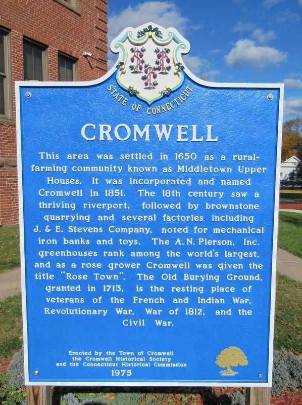
Cromwell
Photographed by Michael Herrick, November 11, 2016
1. Cromwell Marker
the Cromwell Historical Society
and the Connecticut Historical Commission
1975
Erected 1975 by the Town of Cromwell, the Cromwell Historical Society, the Connecticut Historical Commission.
Topics. This historical marker is listed in these topic lists: Colonial Era • Settlements & Settlers.
Location. 41° 35.891′ N, 72° 39.11′ W. Marker is in Cromwell in Lower Connecticut River Valley Region, Connecticut. It is on
this page online

Regionally, this marker is in the Connecticut River Valley and on the Connecticut Shoreline. It is also in the American Northeast, in New England, and on the Eastern Seaboard. Globally, it is in the North Atlantic Region, North America, the Western Hemisphere, the Western World, and the Anglosphere. Historically, it finds itself in what was once Middlesex County and also one of the original Thirteen Colonies.
Other nearby markers. At least 8 other markers are within 2 miles of this marker, measured as the crow flies: Cromwell World War I Monument (approx. 0.3 miles away); Middletown Upper Houses (approx. 0.4 miles away); Valour Memorial Green (approx. 0.6 miles away); Portland Brownstone (approx. 1.4 miles away); Portland Civil War Memorial (approx. 1½ miles away); Portland’s Arch (approx. 1.7 miles away); Portland (approx. 1.7 miles away); Brownstone Arch (approx. 1.7 miles away).
Photographed by Michael Herrick, November 11, 2016
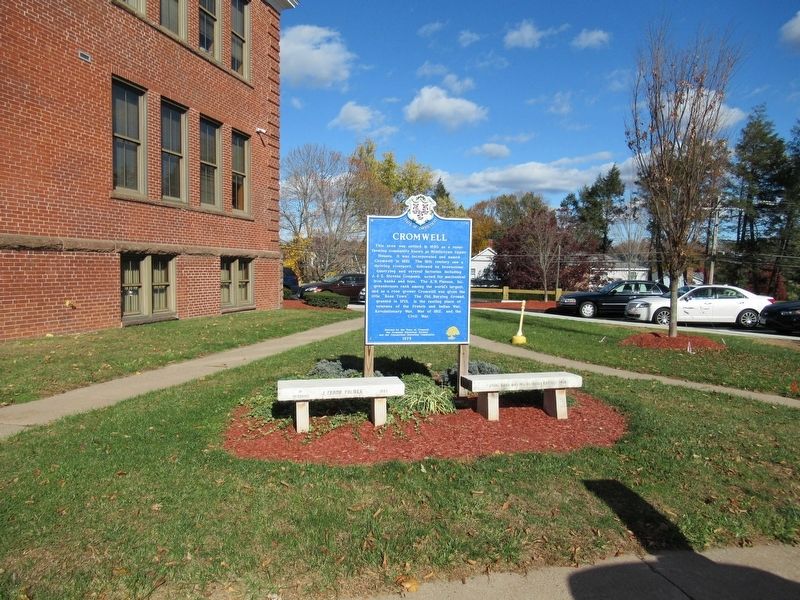
2. Cromwell Marker
Also see . . .
1. Town of Cromwell, Connecticut. (Submitted on November 12, 2016, by Michael Herrick of Southbury, Connecticut.)
2. Cromwell, Connecticut on Wikipedia. (Submitted on November 12, 2016, by Michael Herrick of Southbury, Connecticut.)
Photographed by Michael Herrick, November 11, 2016
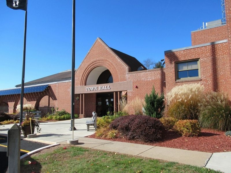
3. Cromwell Town Hall
Credits. This page was last revised on May 19, 2026. It was originally submitted on November 12, 2016, by Michael Herrick of Southbury, Connecticut. This page has been viewed 962 times since then and 66 times this year. Photos: 1, 2, 3. submitted on November 12, 2016, by Michael Herrick of Southbury, Connecticut.
