Morganton in Burke County, North Carolina — The American South (South Atlantic)
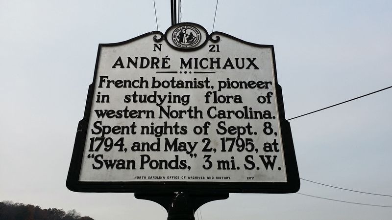
André Michaux
Erected 2011 by NC Office of Archives and history. (Marker Number N-21.)
Topics and series. This historical marker is listed in these topic lists: Agriculture • Environment • Exploration • Horticulture & Forestry. In addition, it is included in the North Carolina Division of Archives and History series list. A significant historical year for this entry is 1794.
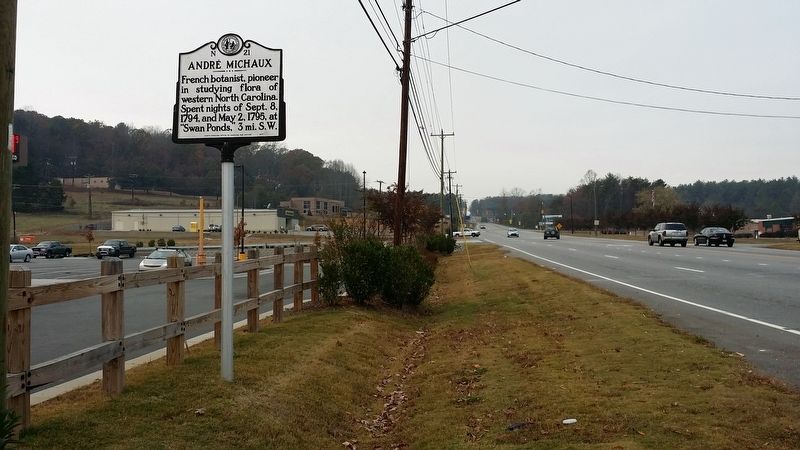
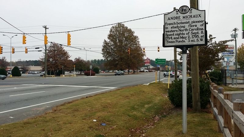
Location. 35° 45.222′ N, 81° 43.019′ W. Marker is in Morganton, North Carolina, in Burke County. Marker is at the intersection of North Green Street (State Highway 181) and Bost Road, on the left when traveling north on North Green Street. Touch for map. Marker is at or near this postal address: 1001 North Green Street, Morganton NC 28655, United States of America. Touch for directions.
Other nearby markers. At least 8 other markers are within walking distance of this marker. Council Oak (within shouting distance of this marker); Fort San Juan (within shouting distance of this marker); Waightstill Avery (within shouting distance of this marker); Quaker Meadows (about 700 feet away, measured in a direct line); Quaker Meadows Cemetery Revolutionary War Memorial (approx. ¼ mile away); Native Americans in North Carolina's Western Piedmont (approx. 0.9 miles away); The Catawba Meadows Archaeology Site (approx. 0.9 miles away); Greenlee Ford (approx. 0.9 miles away). Touch for a list and map of all markers in Morganton.
Related marker. Click here for another marker that is related to this marker.
Credits. This page was last revised on September 13, 2021. It was originally submitted on November 13, 2016, by Michael C. Wilcox of Winston-Salem, North Carolina. This page has been viewed 589 times since then and 33 times this year. Photos: 1, 2, 3. submitted on November 13, 2016, by Michael C. Wilcox of Winston-Salem, North Carolina.


