Marshfield in Webster County, Missouri — The American Midwest (Upper Plains)
Webster County
Photographed by Duane Hall, October 14, 2016
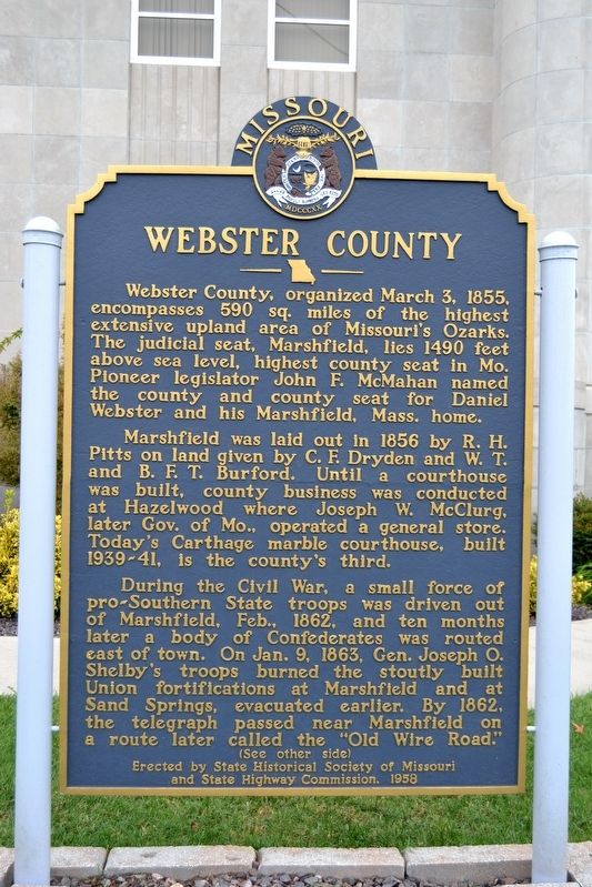
1. Webster County Marker
Webster County, organized March 3, 1855, encompasses 590 sq. miles of the highest extensive upland area of Missouri’s Ozarks. The judicial seat, Marshfield, lies 1490 feet above sea level, highest county seat in Mo. Pioneer legislator John F. McMahan named the county and county seat for Daniel Webster and his Marshfield, Mass. home.
Marshfield was laid out in 1856 by R.H. Pitts on land given by C.F. Dryden and W.T. and B.F.T. Burford. Until a courthouse was built, county business was conducted at Hazelwood where Joseph W. McClurg, later Gov. of Mo., operated a general store. Today’s Carthage marble courthouse, built 1939-41, is the county’s third.
During the Civil War, a small force of pro-Southern State troops was driven out of Marshfield, Feb. 1862, and ten months later a body of Confederates was routed east of town. On Jan. 9, 1863, Gen. Joseph O. Shelby’s troops burned the stoutly built Union fortifications at Marshfield and at Sand Springs, evacuated earlier. By 1862, the telegraph passed near Marshfield on a route later called the “Old Wire Road.”
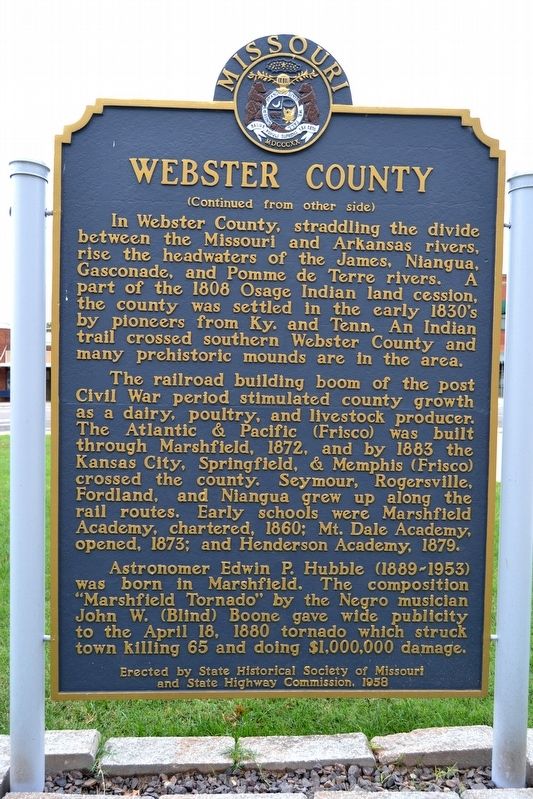
In Webster County, straddling the divide between the Missouri and Arkansas rivers, rise the headwaters of the James, Niangua, Gasconade, and Pomme de Terre rivers. A part of the 1808 Osage Indian land cession, the county was settled in the early 1830’s by pioneers from Ky. and Tenn. An Indian trail crossed southern Webster County and many prehistoric mounds are in the area.
The railroad building boom of the post Civil War period stimulated county growth as a dairy, poultry, and livestock producer. The Atlantic & Pacific (Frisco) was built through Marshfield, 1872, and by 1883 the Kansas City, Springfield, & Memphis (Frisco) crossed the county. Seymour, Rogersville, Fordland, and Niangua grew up along the rail routes. Early schools were
this page online
Astronomer Edwin P. Hubble (1889-1953) was born in Marshfield. The composition “Marshfield Tornado” by the Negro musician John W. (Blind) Boone gave wide publicity to the April 18, 1880 tornado which struck town killing 65 and doing $1,000,000 damage.
Erected 1958 by State Historical Society of Missouri and State Highway Commission.
Topics and series. This historical marker is listed in these topic lists: Settlements & Settlers • War, US Civil. In addition, it is included in the Missouri, The State Historical Society of series list. A significant historical date for this entry is March 3, 1855.
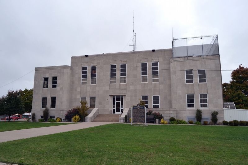
Location. 37° 20.32′ N, 92° 54.397′ W. Marker is in Marshfield, Missouri, in Webster County. It can be reached from Crittenden Street north of Madison Street, on the right when traveling north. Marker is located on the east side of the grounds of the Webster County Courthouse. Touch for map. Marker is in this post office area: Marshfield MO 65706, United States of America. Touch for directions.

Regionally, this marker is in Southwest Missouri
Photographed by Duane Hall, October 14, 2016
2. Webster County Marker
Other nearby markers. At least 8 other markers are within walking distance of this marker: Marshfield Hand Dug Well (within shouting distance of this marker); Edwin Hubble (within shouting distance of this marker); Veterans Memorial (within shouting distance of this marker); Webster County War Memorial (within shouting distance of this marker); Howitzer, Medium, Towed (within shouting distance of this marker); In Remembrance of Those Who Helped Shape Our Community (about 300 feet away, measured in a direct line); Edwin Powell Hubble (about 500 feet away); Trail of Tears (approx. half a mile away). Touch for a list and map of all markers in Marshfield.
Photographed by Duane Hall, October 14, 2016
3. Webster County Marker on East Side of Courthouse
Credits. This page was last revised on November 23, 2024. It was originally submitted on November 13, 2016, by Duane Hall of Abilene, Texas. This page has been viewed 1,147 times since then and 108 times this year. Photos: 1, 2, 3. submitted on November 13, 2016, by Duane Hall of Abilene, Texas.
