Pleasant Hill in Contra Costa County, California — The American West (Pacific Coastal)
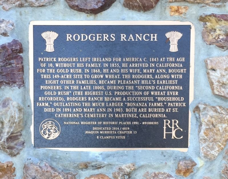
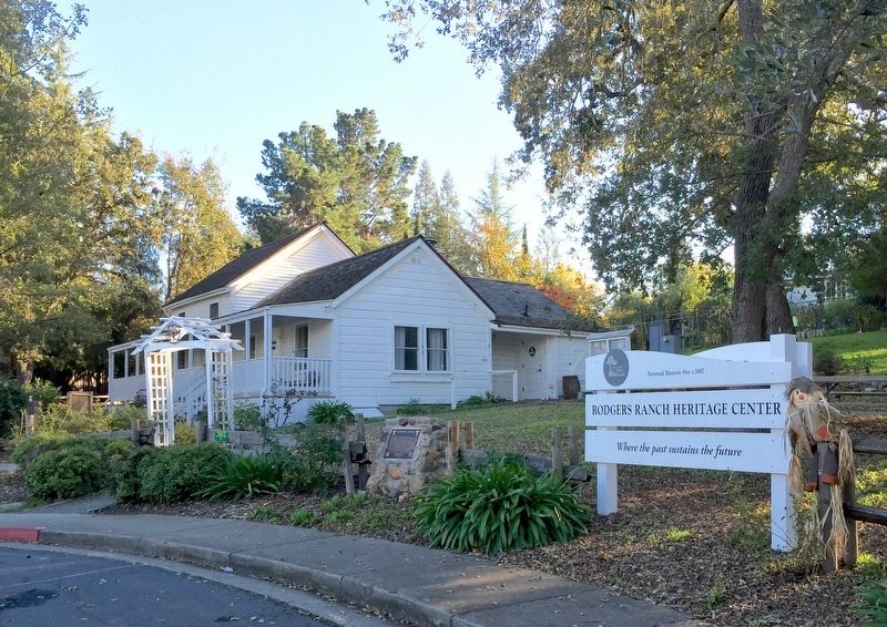
Rodgers Ranch
Photographed by Andrew Ruppenstein, November 13, 2016
1. Rodgers Ranch Marker
Dedicated 2014 / 6019
Joaquin Murrieta Chapter 13
E Clampus Vitus
Erected 2014 by E Clampus Vitus Joaquin Murrieta Chapter 13.
Topics and series. This historical marker is listed in these topic lists: Agriculture • Settlements & Settlers. In addition, it is included in the E Clampus Vitus series list.
Location. 37° 56.617′ N, 122° 5.218′ W. Marker is in Pleasant Hill, California, in Contra
this page online

Regionally, this marker is in the San Francisco Bay Area and on the Coast Ranges. It is also on the American Pacific Coast. Globally, it is in North America, on the Ring of Fire, on the Pacific Rim, in the Western Hemisphere, in the Western World, and in the Anglosphere. Historically, it finds itself in what was once New Spain and also Mexico’s Alta California.
Other nearby markers. At least 8 other markers are within 4 miles of this marker, measured as the crow flies: Contra Costa County World War I Memorial (approx. 1.4 miles away); CinéArts Theatre (approx. 1.6 miles away); Hookston Station Historic Exibit (approx. 1.9 miles away); Rolling Ridge Ranch (approx. 2.7 miles away); St. Paul's Episcopal Church (Walnut Creek, California) (approx. 3.1 miles away); City Park & Walnut Festival (approx. 3.2 miles away); Walnut Growers; Processing Plant (approx. 3.2 miles away); Oakland, Antioch & Eastern Railway
Photographed by Andrew Ruppenstein, November 13, 2016
2. Rodgers Ranch and Marker - Wide View
Credits. This page was last revised on September 28, 2020. It was originally submitted on November 14, 2016, by Andrew Ruppenstein of Lamorinda, California. This page has been viewed 679 times since then and 21 times this year. Photos: 1, 2. submitted on November 14, 2016, by Andrew Ruppenstein of Lamorinda, California.
