Near Scottsburg in Scott County, Indiana — The American Midwest (Great Lakes)
Pigeon Roost
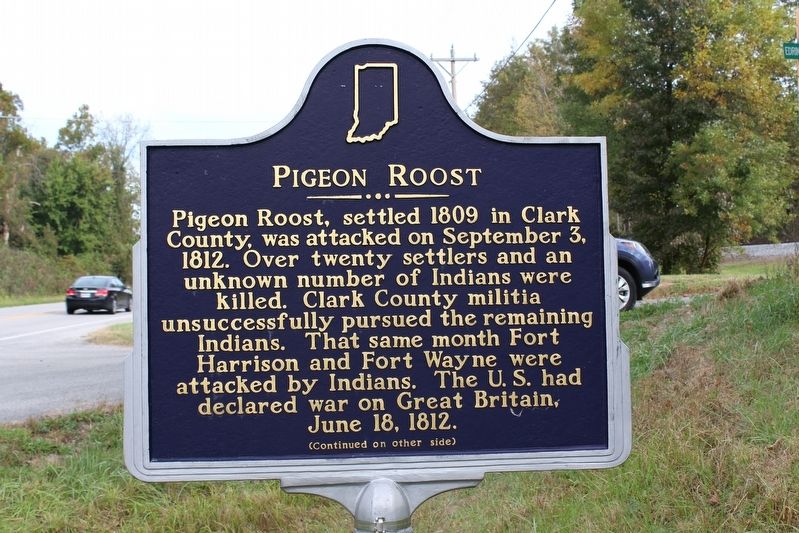
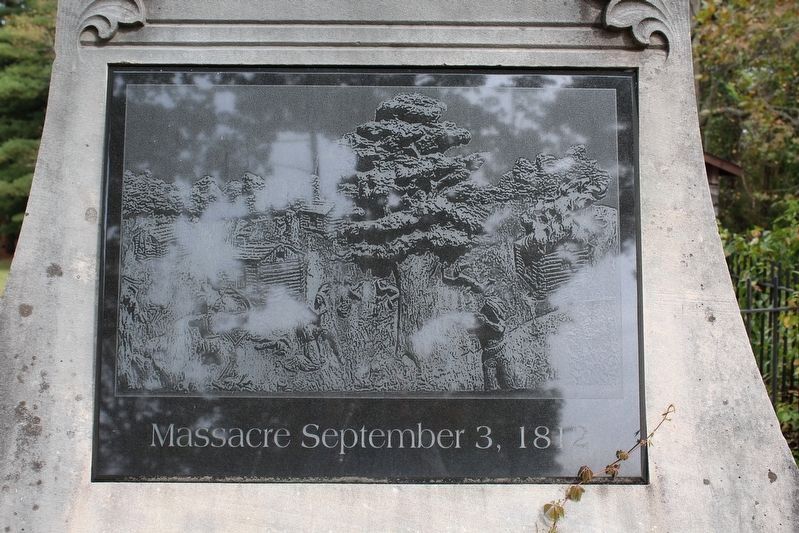
Pigeon Roost, settled 1809 in Clark County, was attacked on September 3, 1812. Over twenty settlers and an unknown number of Indians were killed. Clark County militia unsuccessfully pursued the remaining Indians. That same month Fort Harrison and Fort Wayne were attacked by Indians. The U.S. had declared war on Great Britain, June 18, 1812.
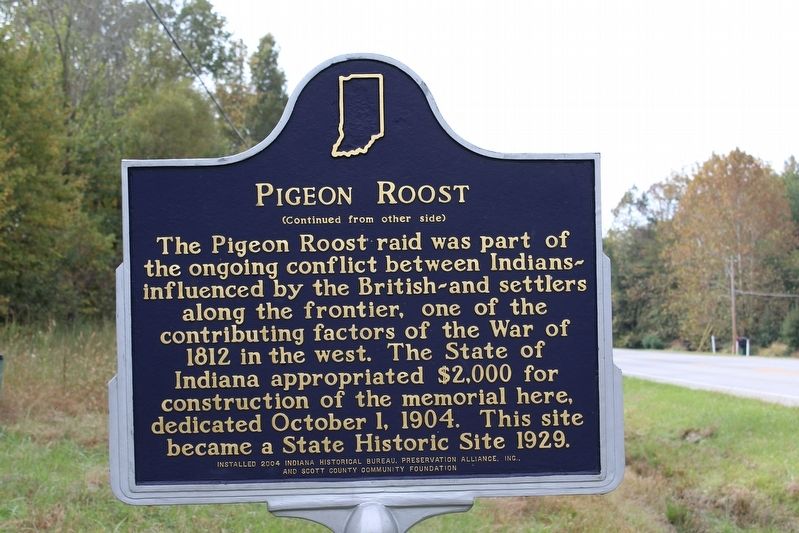
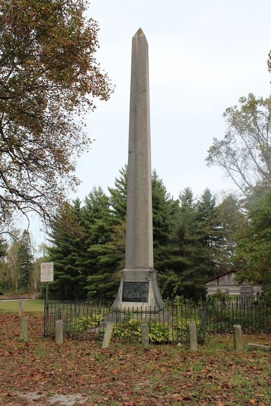
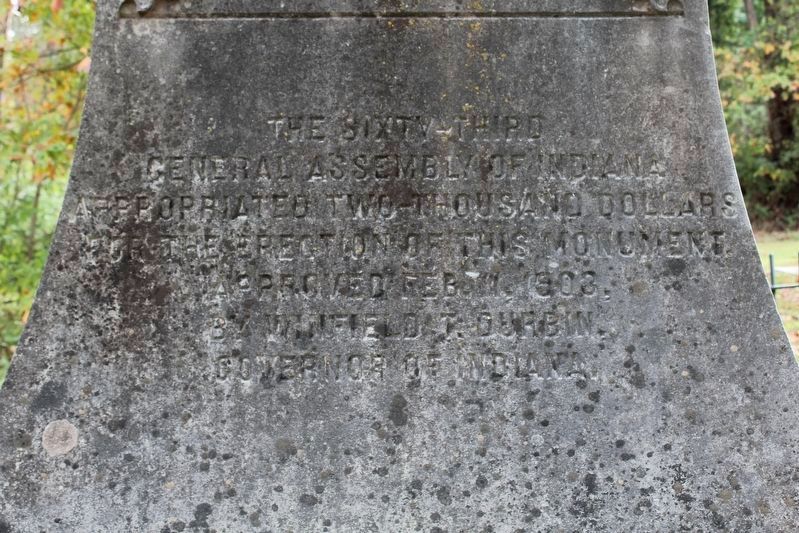
The Pigeon Roost raid was part of the ongoing conflict between Indians ~ influenced by the British ~ and settlers along the frontier, one of the contributing factors of the War of 1812 in the west. The State of Indiana appropriated $2,000 for construction of the memorial here, dedicated October 1, 1904. This site became a State Historic Site 1929.
Erected 2004 by Indiana Historical Bureau, Preservation Alliance, Inc., and Scoutt County Community Foundation.
Topics. This historical marker is listed in these topic lists: Native Americans • Settlements & Settlers • War of 1812. A significant historical date for this entry is September 3, 1812.
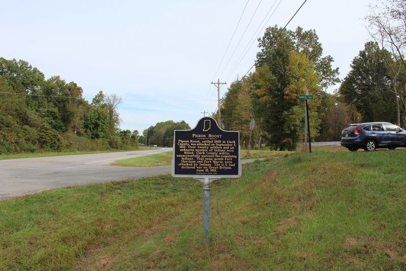
Location. 38° 36.933′ N, 85° 46.55′ W. Marker is near Scottsburg, Indiana, in Scott County. Marker is at the intersection of State Road 31 and Edrington Blvd, on the left when traveling south on State Road 31. Touch for map. Marker is in this post office area: Scottsburg IN 47170, United States of America. Touch for directions.
Other nearby markers. At least 8 other markers are within 5 miles of this marker, measured as the crow flies. A different marker also named Pigeon Roost (about 600 feet away, measured in a direct line); "Lightning" Ellsworth Strikes Again (approx. 2.3 miles away); Morgan's Great Raid (approx. 2.3 miles away); Scott County Home (approx. 4 miles away); Clark State Forest (approx. 4.3 miles away); Scott Theater (approx. 4.8 miles away); Crasvens Building (approx. 4.8 miles away); Scott County's Carnegie Library (approx. 4.8 miles away). Touch for a list and map of all markers in Scottsburg.
Photographed By Tom Bosse, October 14, 2016
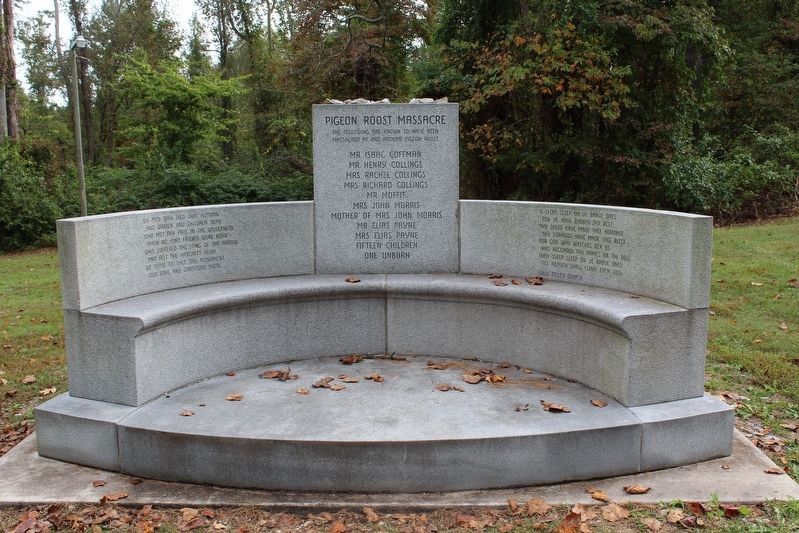
3. Pigeon Roost Massacre
The following are known to have been massacred at and around Pigeon Roost:
Mr. Isaac Coffman
Mr. Henry Collings
Mrs. Rachel Collings
Mrs. Richard Collings
Mr. Moffit
Mr. John Morris
Mother of Mrs. John Morris
Mr. Elias Payne
Mrs. Elias Payne
Fifteen Children
One Unborn
Credits. This page was last revised on April 15, 2024. It was originally submitted on November 15, 2016, by Tom Bosse of Jefferson City, Tennessee. This page has been viewed 544 times since then and 43 times this year. Photos: 1, 2, 3, 4, 5. submitted on November 15, 2016, by Tom Bosse of Jefferson City, Tennessee. 6, 7, 8. submitted on November 17, 2016, by Tom Bosse of Jefferson City, Tennessee. 9. submitted on November 28, 2016, by Tom Bosse of Jefferson City, Tennessee. • Bill Pfingsten was the editor who published this page.
