Near Tuskegee in Macon County, Alabama — The American South (East South Central)
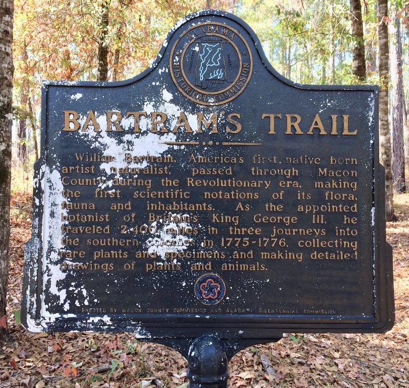
Bartram's Trail
Erected by Macon County Commission and Alabama Bicentennial Commission.
Topics and series. This historical marker is listed in these topic lists: Colonial Era • Exploration • Horticulture & Forestry • Science & Medicine. In addition, it is included in the The Spirit of ’76, America’s Bicentennial Celebration, and the William Bartram Trails series lists.
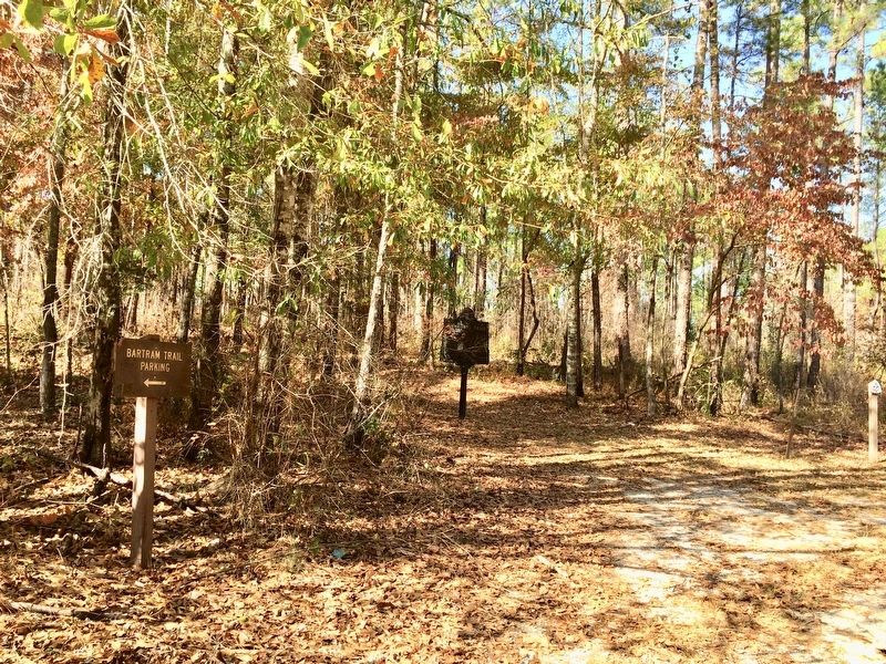
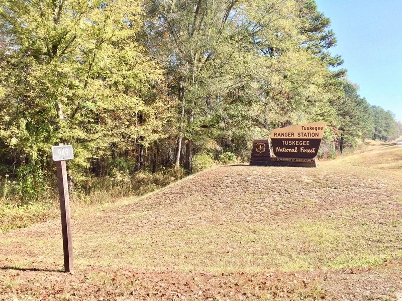
Location. 32° 28.784′ N, 85° 36.634′ W. Marker is near Tuskegee, Alabama, in Macon County. Marker is on Forest Road 949, 0.2 miles north of State Route 186, on the left when traveling north. Located within the Tuskegee National Forest and just north of the Forests' Ranger Station on FS Road 949. Touch for map. Marker is in this post office area: Tuskegee AL 36083, United States of America. Touch for directions.
Other nearby markers. At least 8 other markers are within 5 miles of this marker, measured as the crow flies. Little Texas Tabernacle and Campground (approx. 3.6 miles away); Union Christian Church (approx. 3.7 miles away); Warehouse/Vehicle Storage (approx. 4.3 miles away); The Control Tower (approx. 4.3 miles away); A Typical Day (approx. 4.3 miles away); Moton Field Expands (approx. 4.3 miles away); Fire Suppression Pond (approx. 4.3 miles away); It Was Called "Dope" (approx. 4.3 miles away).
Related markers. Click here for a list of markers that are related to this marker. Other markers in Alabama on William Bartram.
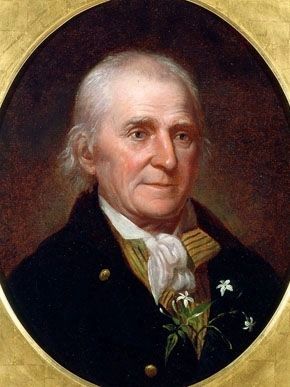
Also see . . . The Encyclopedia of Alabama article on William Bartram. (Submitted on November 16, 2016, by Mark Hilton of Montgomery, Alabama.)
Credits. This page was last revised on November 16, 2016. It was originally submitted on November 16, 2016, by Mark Hilton of Montgomery, Alabama. This page has been viewed 601 times since then and 26 times this year. Photos: 1, 2, 3, 4. submitted on November 16, 2016, by Mark Hilton of Montgomery, Alabama.


