Ninety Six in Greenwood County, South Carolina — The American South (South Atlantic)
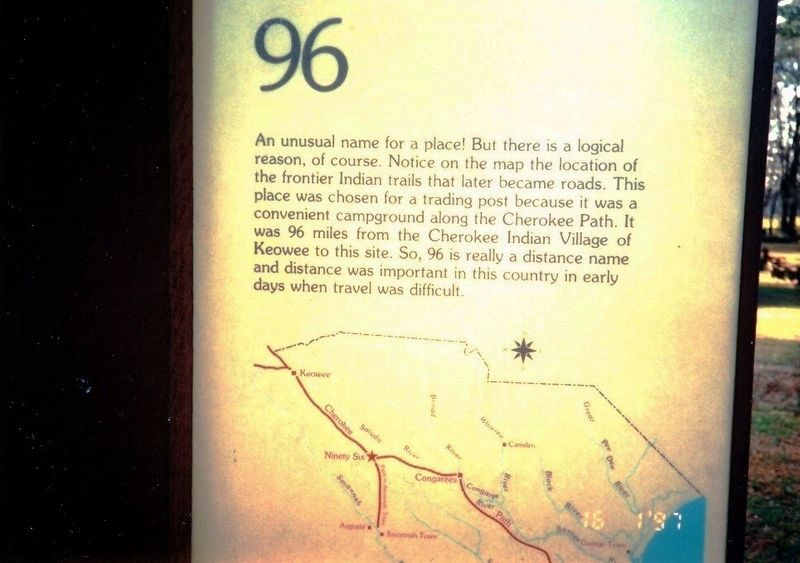
96
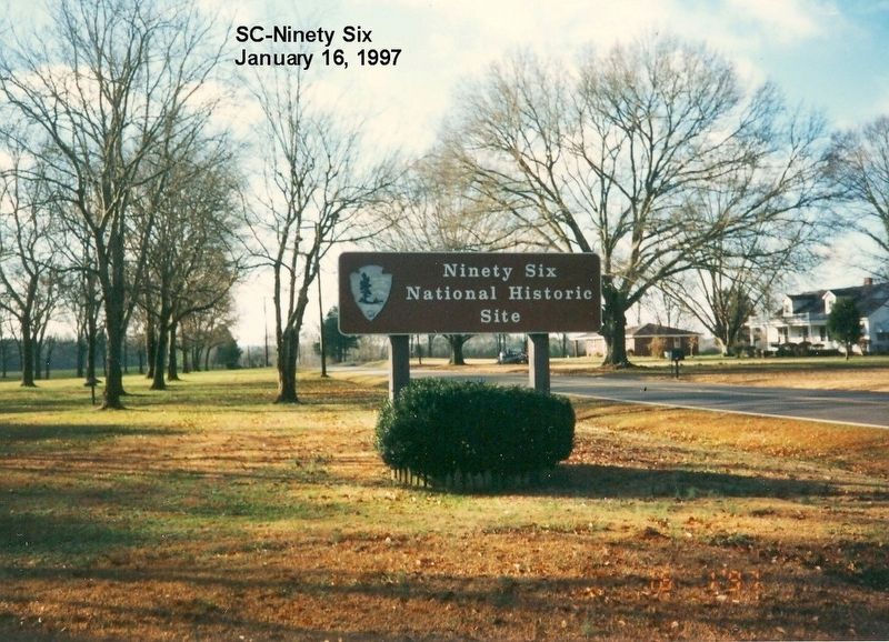
Ninety Six National Historic Site
Erected by National Park Service, US Department of the Interior.
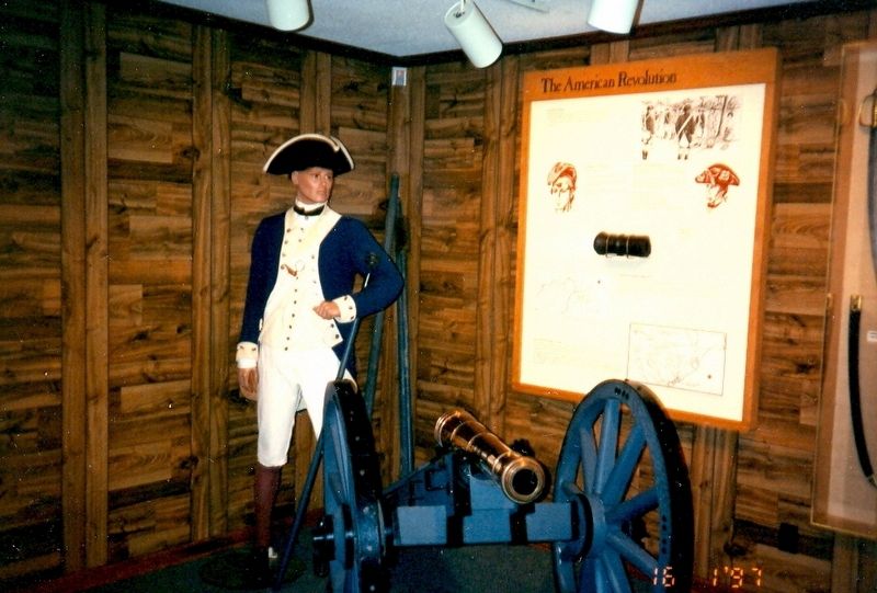
Topics. This historical marker is listed in these topic lists: Native Americans • Roads & Vehicles • War, US Revolutionary.
Location. 34° 8.862′ N, 82° 1.374′ W. Marker is in Ninety Six, South Carolina, in Greenwood County. Marker is on State Highway 248 north of Louden Road, on the right when traveling north. This marker is on the grounds of the Ninety Six National Historic Site near the visitor center. Touch for map. Marker is at or near this postal address: 1103 Hwy 248, Ninety Six SC 29666, United States of America. Touch for directions.
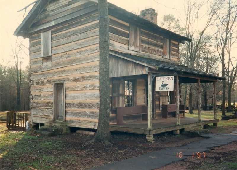
Other nearby markers. At least 8 other markers are within walking distance of this marker. Cherokee (about 300 feet away, measured in a direct line); Ninety Six National Historic Site (about 300 feet away); The Siege of Ninety Six (about 300 feet away); Why Is It Called Ninety Six? (about 300 feet away); Ninety Six in the American Revolution (about 300 feet away); Walking Tour of the Park (about 400 feet away); Logan Log House (about 400 feet away); a different marker also named Logan Log House (about 500 feet away). Touch for a list and map of all markers in Ninety Six.
Also see . . . Ninety Six National Historic Site. National Park Service (Submitted on November 18, 2016.)
Credits. This page was last revised on November 18, 2016. It was originally submitted on November 17, 2016, by Don Morfe of Baltimore, Maryland. This page has been viewed 401 times since then and 26 times this year. Photos: 1, 2, 3, 4. submitted on November 17, 2016, by Don Morfe of Baltimore, Maryland. • Bernard Fisher was the editor who published this page.


