Near Clever in Christian County, Missouri — The American Midwest (Upper Plains)
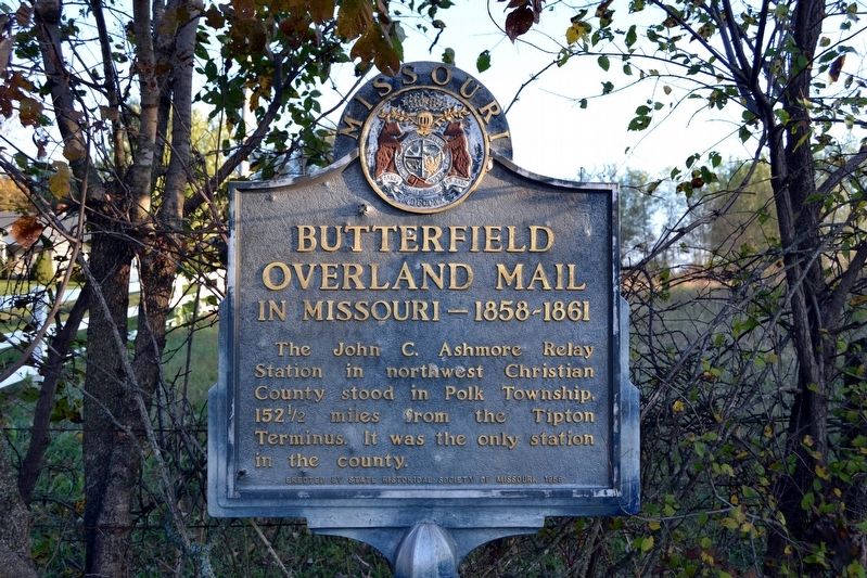
Butterfield Overland Mail in Missouri — 1858-1861
Inscription.
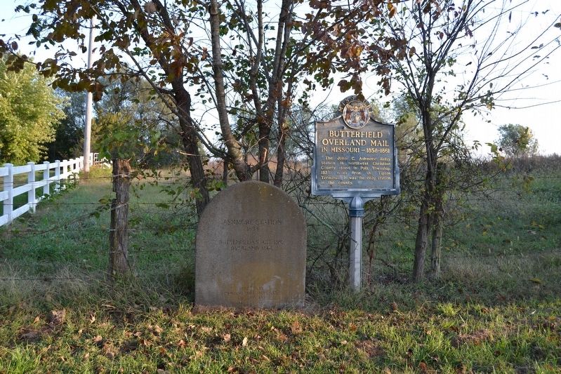
The John C. Ashmore Relay Station in northwest Christian County stood in Polk Township, 152 ½ miles from the Tipton Terminus. It was the only station in the county.
Erected 1958 by State Historical Society of Missouri.
Topics and series. This historical marker is listed in these topic lists: Communications • Roads & Vehicles. In addition, it is included in the Butterfield Overland Mail, and the Missouri, The State Historical Society of series lists. A significant historical year for this entry is 1858.
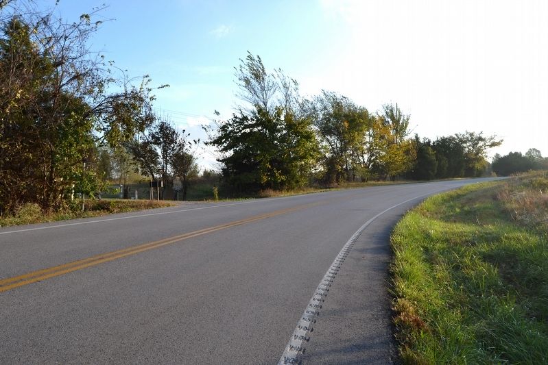
Location. 37° 3.991′ N, 93° 25.818′ W. Marker is near Clever, Missouri, in Christian County. Marker is on Highway ZZ, 0.1 miles north of Honeysuckle Road, on the left when traveling north. Touch for map. Marker is in this post office area: Billings MO 65610, United States of America. Touch for directions.
Other nearby markers. At least 8 other markers are within 3 miles of this marker, measured as the crow flies. Sigel's Attack (approx. 2.2 miles away); Rout of Sigel's Column (approx. 2.3 miles away); Guibor's Battery (approx. 2.6 miles away); The Eye of the Storm (approx. 2.6 miles away); Price's Headquarters (approx. 2.8 miles away); Pulaski Arkansas Battery (approx. 2.8 miles away); A Union Plan / The Broken Pincer (approx. 2.8 miles away); Death of Brigadier General Nathaniel Lyon (approx. 2.9 miles away).
Credits. This page was last revised on November 17, 2016. It was originally submitted on November 17, 2016, by Duane Hall of Abilene, Texas. This page has been viewed 506 times since then and 39 times this year. Photos: 1, 2, 3. submitted on November 17, 2016, by Duane Hall of Abilene, Texas.


