Near Avoca in Benton County, Arkansas — The American South (West South Central)
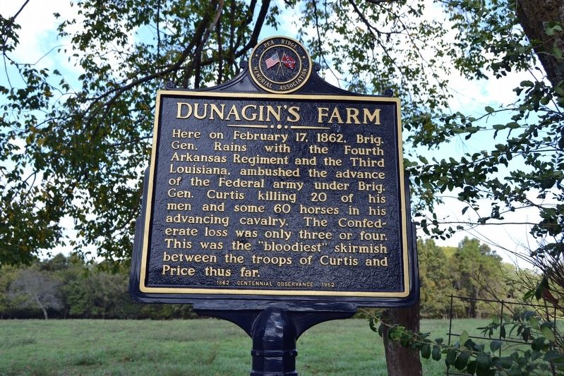
Dunagin's Farm
Photographed by Duane Hall, October 15, 2016
1. Dunagin's Farm Marker
Erected 1962 by Pea Ridge Memorial Association.
Topics. This historical marker is listed in this topic list: War, US Civil. A significant historical date for this entry is February 17, 1862.
Location. 36° 24.791′ N, 94° 3.809′ W. Marker is near Avoca, Arkansas, in Benton County. It is on N. Old Wire Road (County Road 1703) 0.4 miles north of Smith Ridge Turnoff, on the left when traveling north. Touch for map. Marker is in this post office area: Rogers AR 72756, United States of America. Touch for directions.

Regionally, this marker is in Northwest Arkansas, on the Ozark Plateau, in the Cherokee Heritage Region, and in Osage Territory. It is also in the American South, specifically in the Upper South, and in the Ozarks. Globally, it is in North America,
this page online
Other nearby markers. At least 8 other markers are within 3 miles of this marker, measured as the crow flies: Where I Knew I Might Make the Best Fight (approx. 0.6 miles away); Sesquicentennial Trail of the Centuries (approx. one mile away); Leetown (approx. 2 miles away); A Village Full of Wounded Men (approx. 2.1 miles away); A Fierce Tangle in Morgan's Woods (approx. 2.3 miles away); Stand to Your Posts! (approx. 2.3 miles away); A Crisis in Command (approx. 2.3 miles away); Save the Cannon! (approx. 2.3 miles away).
More about this marker. The marker was restored in 2013.
Related markers. Click here for a list of markers that are related to this marker. The list is markers installed by the Pea Ridge Memorial Association from 1962-1964 on the Pea Ridge Campaign.
Also see . . . Action at Sugar Creek aka Battle of Dunagin's Farm. Encyclopedia of Arkansas website
Photographed by Duane Hall, October 15, 2016
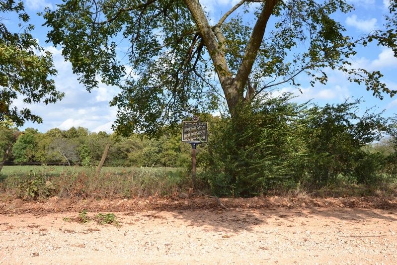
2. Dunagin's Farm Marker
Photographed by Duane Hall, October 15, 2016
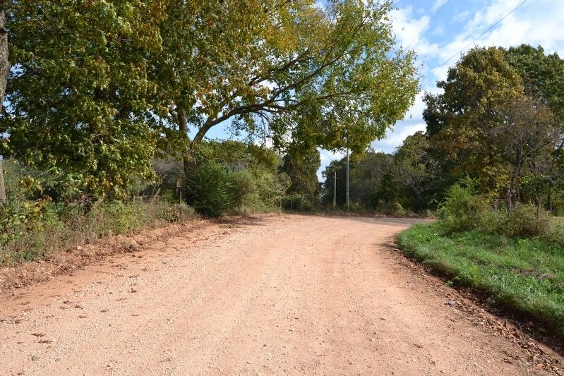
3. View to North from N. Old Wire Road
Credits. This page was last revised on March 15, 2026. It was originally submitted on November 17, 2016, by Duane Hall of Abilene, Texas. This page has been viewed 1,367 times since then and 144 times this year. Photos: 1, 2, 3. submitted on November 17, 2016, by Duane Hall of Abilene, Texas.
