
Near Minden in Douglas County, Nevada — The American Mountains (Southwest)
Carson Trail - Entering Carson Valley
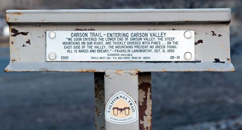
Photographed By Alvis Hendley, March 3, 2016
1. Carson Trail - Entering Carson Valley Marker
Erected 2002 by Trails West Inc. (Marker Number CR-31.)
Topics and series. This historical marker is listed in these topic lists: Roads & Vehicles • Settlements & Settlers. In addition, it is included in the California Trail, and the Kit Carson Trail series lists. A significant historical date for this entry is October 9, 1850.
Location. 39° 4.169′ N, 119° 46.773′ W. Marker is near Minden, Nevada, in Douglas County. Marker can be reached from U.S. 395, on the right when traveling north. The marker is in the Silver City RV Resort parking lot near the entrance to the lot. Touch for map. Marker is at or near this postal address: 3165 US 395, Minden NV 89423, United States of America. Touch for directions.
Other nearby markers. At least 8 other markers are within 6 miles of this marker, measured as the crow flies. Cradlebaugh Bridge (approx. 1½ miles away); Stewart Indian School (approx. 3.6 miles away); Dat-So-La-Lee (approx. 3.6 miles away); Eagle Valley (approx. 3.9 miles away); Old Mormon Station (approx.
this page online
Photographed By Alvis Hendley, March 2, 2016
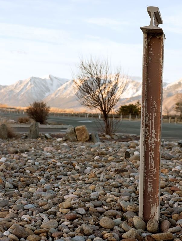
2. Carson Trail - Entering Carson Valley Marker
Photographed By Alvis Hendley, March 2, 2016
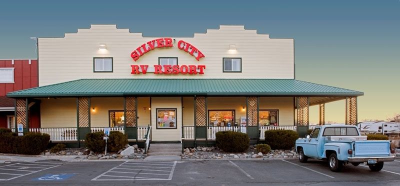
3. Silver City RV Resort
The marker is in the parking lot of Silver City RV Resort at 3165 US 395.
Photographed By Alvis Hendley, March 2, 2016
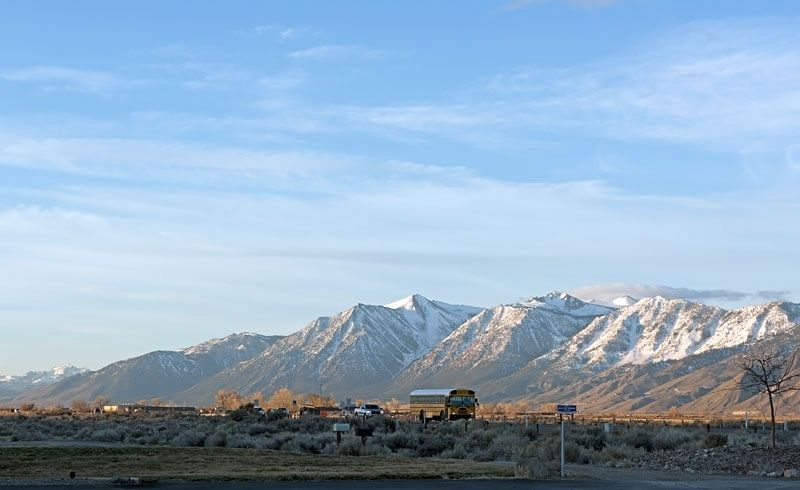
4. Carson Valley and the Sierra Nevada
US 395 in Carson Valley viewed from Silver City RV Resort.
Credits. This page was last revised on December 4, 2016. It was originally submitted on November 21, 2016, by Alvis Hendley of San Francisco, California. This page has been viewed 304 times since then and 14 times this year. Photos: 1, 2, 3, 4. submitted on November 21, 2016, by Alvis Hendley of San Francisco, California. • Syd Whittle was the editor who published this page.

