
Near New Richmond in Clermont County, Ohio — The American Midwest (Great Lakes)
Mt. Zion Chapel
⎯⎯⎯
Mt. Zion Cemetery - Lafayette School
Photographed by Rev. Ronald Irick, November 5, 2016
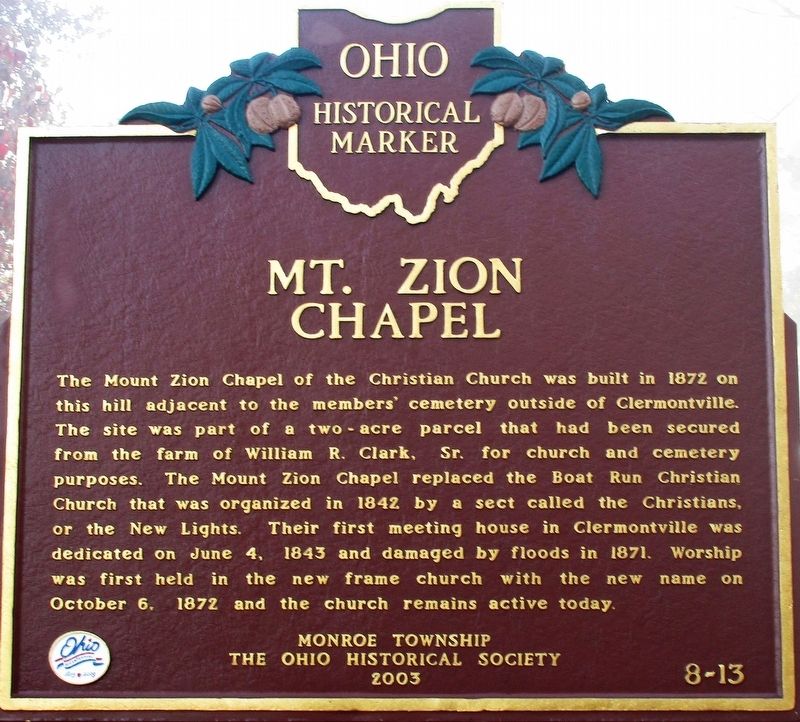
1. Mt. Zion Chapel Marker
Mt. Zion Chapel
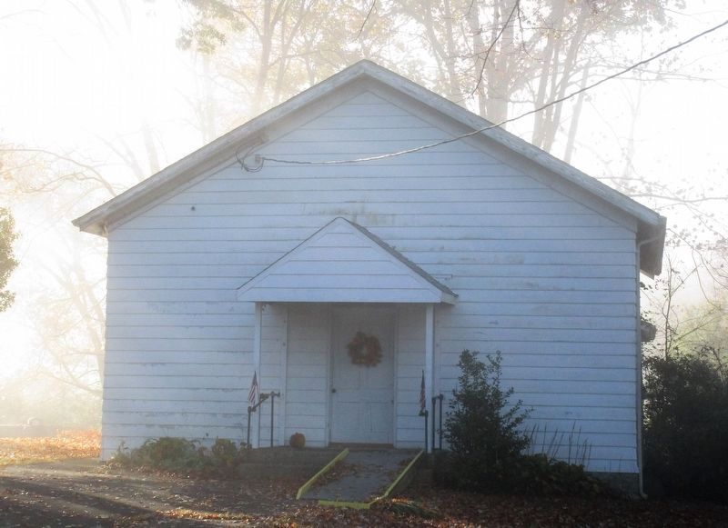
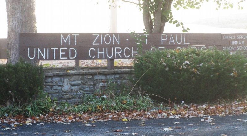
The Mount Zion Chapel of the Christian Church was built in 1872 on this hill adjacent to the members' cemetery outside of Clermontville. The site was part of a two-acre parcel that had been secured from the farm of William R. Clark, Sr. for church and cemetery purposes. The Mount Zion Chapel replaced the Boat Run Christian Church that was organized in 1842 by a sect called the Christians, or the New Lights. Their first meeting house in Clermontville was dedicated on June 4, 1843 and damaged by floods in 1871. Worship was first held in the new frame church with the new name on October 6, 1872 and the church remains active today.
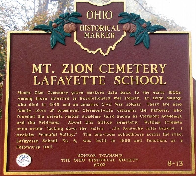
Mt. Zion Cemetery - Lafayette School
Mount Zion Cemetery grave markers date back to the early 1800s. Among those interred is Revolutionary War soldier, Lt. Hugh Mulloy, who died in 1845 and an unnamed Civil War soldier. There are also family plots of prominent Clermontville citizens: the Parkers, who founded the private Parker Academy (also known as Clermont Academy), and the Fridmans. About this hilltop cemetery, William Fridman once wrote "looking down the valley,...the Kentucky
this page online
Erected 2003 by Monroe Township The Ohio Historical Society. (Marker Number 8-13.)
Topics and series. This historical marker is listed in these topic lists: Cemeteries & Burial Sites • Education • Religion & Religious Structures. In addition, it is included in the Ohio Historical Society / The Ohio History Connection series list.
Location. 38° 55.059′ N, 84° 13.945′ W. Marker is near New Richmond, Ohio, in Clermont County. It is on Clermontville Laurel Road (County Route 31), on the left when traveling north. Touch for map. Marker is at or near this postal address: 1566 Clermontville Laurel Road, New Richmond OH 45157, United States of America. Touch for directions.

Regionally, this marker is in Greater Cincinnati. It is also in the American Midwest, in the Ohio River Valley, in Appalachia, and specifically in Northern Appalachia. Globally, it is in North America, the Western Hemisphere, the Western World,
Photographed by Rev. Ronald Irick, November 5, 2016
2. Mt. Zion Cemetery - Lafayette School Marker
Other nearby markers. At least 8 other markers are within 2 miles of this marker, measured as the crow flies: Clermont Academy (approx. 1.1 miles away); Monroe Township (approx. 1.2 miles away); Point Pleasant (approx. 1½ miles away); Jean DeLannoy (approx. 1.6 miles away); U. S. Grant Birthplace (approx. 1.6 miles away); U.S. Grant Historic District (approx. 1.6 miles away); Ulysses Simpson Grant (approx. 1.6 miles away); Grant Memorial Bridge (approx. 1.6 miles away).
Other markers no longer nearby. Grant Birthplace (was approx. 1.6 miles away but has been confirmed missing); Ulysses Grant (was approx. 1.6 miles away but has been confirmed missing).
Photographed by Rev. Ronald Irick, November 5, 2016
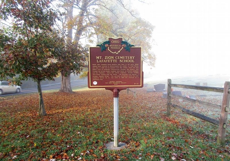
3. Mt. Zion Cemetery - Lafayette School Marker
Photographed by Rev. Ronald Irick, November 5, 2016
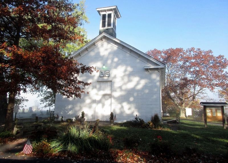
4. Mt. Zion Chapel Marker
The church, west side of road
Photographed by Rev. Ronald Irick, November 5, 2016
5. Lafayette School
The school, east side of the road
Photographed by Rev. Ronald Irick, November 5, 2016
6. Mt. Zion Chapel Marker
Credits. This page was last revised on August 19, 2018. It was originally submitted on November 22, 2016, by Rev. Ronald Irick of West Liberty, Ohio. This page has been viewed 759 times since then and 65 times this year. Photos: 1, 2, 3, 4, 5, 6. submitted on November 22, 2016, by Rev. Ronald Irick of West Liberty, Ohio. • Bill Pfingsten was the editor who published this page.
