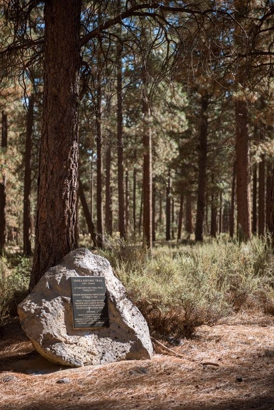
Near Mount Hebron in Siskiyou County, California — The American West (Pacific Coastal)
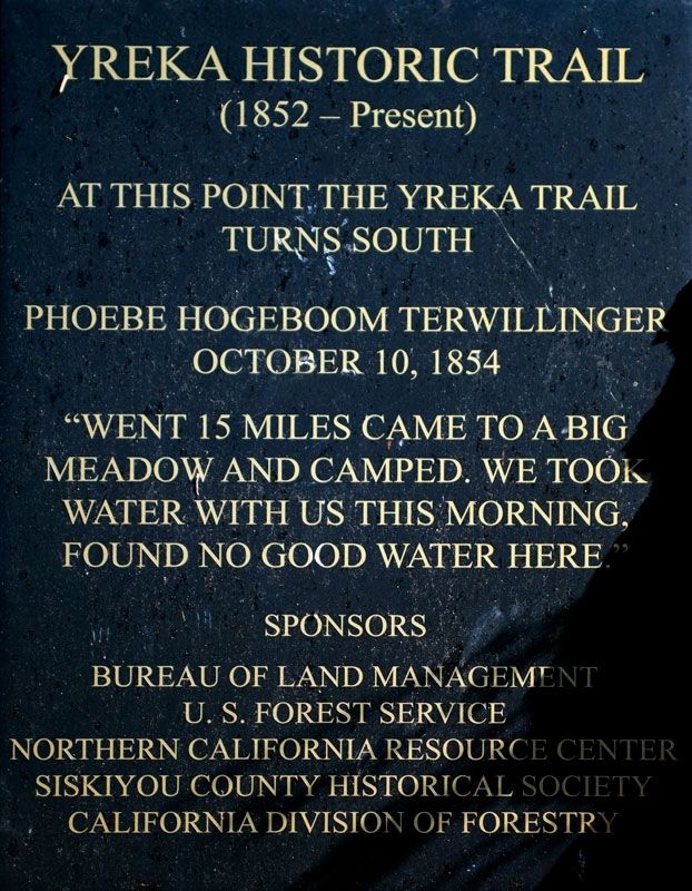
Yreka Historic Trail
(1852 - Present)
turns south
Phoebe Hogeboom Terwillinger
October 10, 1854
"Went 15 miles came to a big
meadow and camped. We took
water with us this morning.
Found no good water here."
Erected by Bureau of Land Management; U.S. Forest Service; Northern California Resource Center; Siskiyou County Historical Society; California Division of Forestry.
Topics and series. This historical marker is listed in these topic lists: Roads & Vehicles • Settlements & Settlers. In addition, it is included in the Yreka Trail series list. A significant historical date for this entry is October 10, 1854.
Location. 41° 39.315′ N, 122° 3.569′ W. Marker is near Mount Hebron, California, in Siskiyou County. Marker is on Tenant Road, 2 miles south of U.S. 97, on the left when traveling south. Touch for map. Marker is in this post office area: Macdoel CA 96058, United States of America. Touch for directions.
Other nearby markers. At least 8 other markers are within 8 miles of this marker, measured as the crow flies. Yreka Trail-Splendid Pine Timber/Yreka Trail-To a Swamp (approx. 1.3 miles away); Yreka Trail - Are Yet On Butte Creek (approx. 2.1 miles away); Yreka Trail - Near a Little Lake (approx. 3.6 miles away); Yreka Trail - A Big Meadow (approx. 4.1 miles away); Yreka Trail - Up Butte Creek (approx. 4.6 miles away); Yreka Trail - Out of Danger (approx. 4.7 miles away); Yreka Trail - Quite a Stream (approx. 7.3 miles away); Yreka Trail - Quite Stony Today (approx. 7˝ miles away).
Credits. This page was last revised on December 4, 2016. It was originally submitted on November 22, 2016, by Alvis Hendley of San Francisco, California. This page has been viewed 386 times since then and 14 times this year. Photos: 1, 2. submitted on November 22, 2016, by Alvis Hendley of San Francisco, California. • Syd Whittle was the editor who published this page.

