Mile Square in Indianapolis in Marion County, Indiana — The American Midwest (Great Lakes)
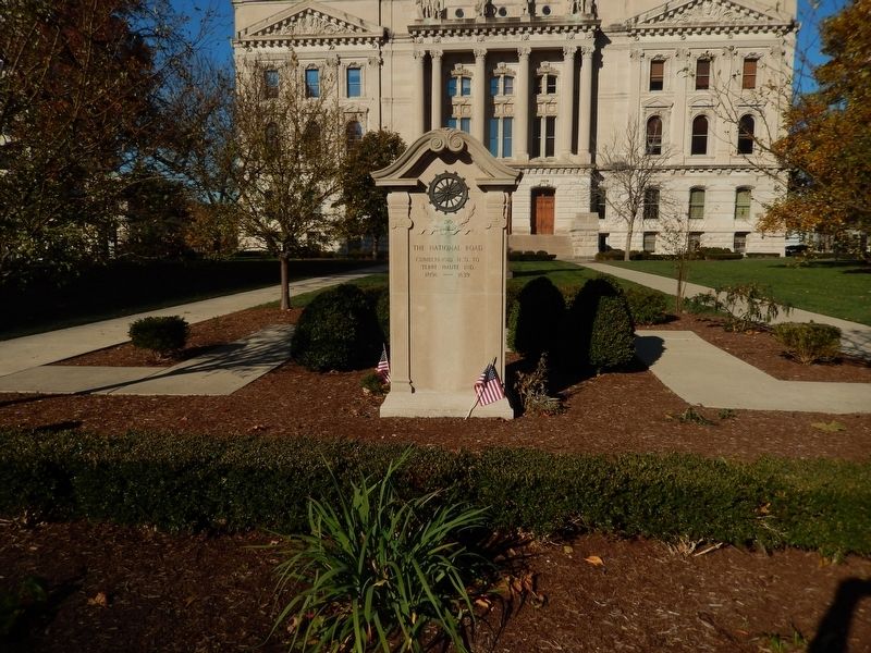
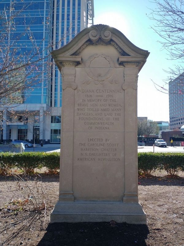
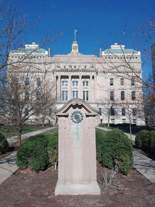
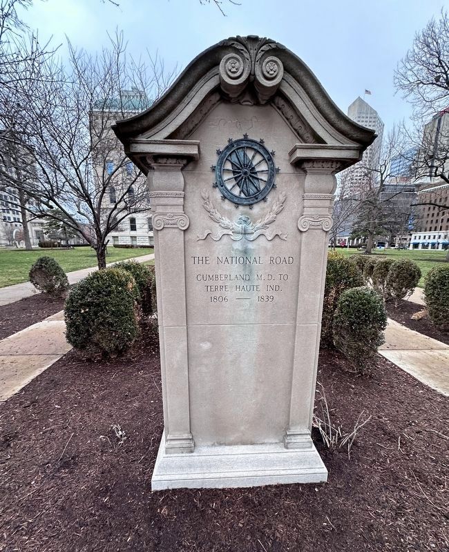
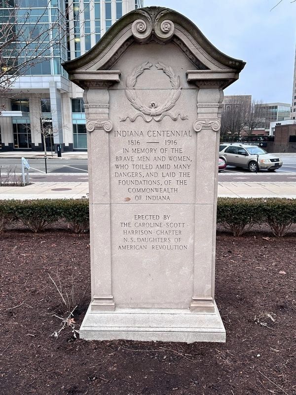
The National Road / Indiana Centennial
Terre Haute Ind.
1806 - 1839
1816 - 1916
In memory of the
brave men and women,
who toiled amid many
dangers, and laid the
foundations, of the
commonwealth
of Indiana
Erected 1916 by The Caroline-Scott-Harrison Chapter N.S. Daughters Of American Revolution.
Topics and series. This historical marker is listed in these topic lists: Fraternal or Sororal Organizations • Roads & Vehicles • Settlements & Settlers. In addition, it is included in the The Historic National Road series list. A significant historical year for this entry is 1806.
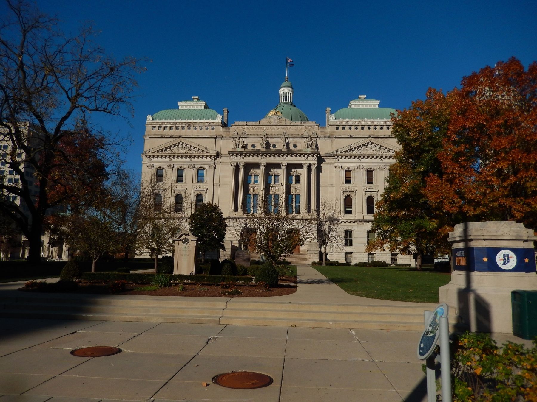
Location. 39° 46.032′ N, 86° 9.761′ W. Marker is in Indianapolis, Indiana, in Marion County. It is in Mile Square. Marker is on W. Washington Street. Marker is on the south side of the State Capitol. Touch for map. Marker is in this post office area: Indianapolis IN 46225, United States of America. Touch for directions.
Other nearby markers. At least 8 other markers are within walking distance of this marker. Indiana State House (a few steps from this marker); Native White Oak Tree (within shouting distance of this marker); Gov. Henry F. Schricker (within shouting distance of this marker); a different marker also named Gov. Henry F. Schricker (within shouting distance of this marker); Governor Townsend Tulip Tree (within shouting distance of this marker); Bicentennial Moon Tree (within shouting distance of this marker); Bicentennial Tree Planting 2017 (within shouting distance of this marker); George Washington (within shouting distance of this marker). Touch for a list and map of all markers in Indianapolis.
Additional commentary.
1. About the Commonwealth of Indiana
The use of commonwealth on the marker is figurative. There are five places in the United States that use Commonwealth in their names as of March 2024: Puerto Rico (as a translation of the phrasing literally reading Free Associated State), Massachusetts, Pennsylvania, Virginia, and Kentucky.
— Submitted March 3, 2024, by Devry Becker Jones of Washington, District of Columbia.
Credits. This page was last revised on March 3, 2024. It was originally submitted on November 26, 2016, by Bill Pfingsten of Bel Air, Maryland. This page has been viewed 513 times since then and 45 times this year. Last updated on January 8, 2024, by J.T. Lambrou of New Boston, Michigan. Photos: 1. submitted on November 26, 2016, by Bill Pfingsten of Bel Air, Maryland. 2, 3. submitted on November 21, 2022, by Tom Bosse of Jefferson City, Tennessee. 4. submitted on November 26, 2016, by Bill Pfingsten of Bel Air, Maryland. 5, 6. submitted on January 8, 2024, by J.T. Lambrou of New Boston, Michigan. • Devry Becker Jones was the editor who published this page.
