Near King George in King George County, Virginia — The American South (Mid-Atlantic)
Cleydael
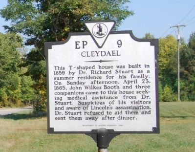
Photographed by Dawn Bowen, October 7, 2007
1. Cleydael Marker
Erected 1989 by Department of Historic Resources. (Marker Number EP-9.)
Topics and series. This historical marker is listed in this topic list: War, US Civil. In addition, it is included in the Booth's Escape, and the Virginia Department of Historic Resources (DHR) series lists. A significant historical date for this entry is April 23, 1766.
Location. This marker has been replaced by another marker nearby. It was located near 38° 18.959′ N, 77° 8.185′ W. Marker was near King George, Virginia, in King George County. It was at the intersection of Dahlgren Road (Virginia Route 206) and Cleydael Boulevard, on the right when traveling north on Dahlgren Road. Touch for map. Marker was in this post office area: King George VA 22485, United States of America. Touch for directions.

Regionally,
this page online
Other nearby markers. At least 8 other markers are within 5 miles of this location, measured as the crow flies: A different marker also named Cleydael (here, next to this marker); Ralph Bunche High School (approx. 3 miles away); Hanover Baptist Church (approx. 3.2 miles away); All that Glitters (approx. 3.3 miles away); King George Confederate Monument (approx. 4 miles away); Veterans Memorial (approx. 4 miles away); World War I Memorial (approx. 4.2 miles away); Marmion (approx. 4.6 miles away). Touch for a list and map of all markers in King George.
More about this marker. This marker was replaced by a new one also named Cleydael
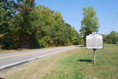
Photographed by Dawn Bowen, October 7, 2007
2. Cleydael Marker
Also see . . .
1. Booth's Escape Byway, Maryland Office of Tourism. (Submitted on August 19, 2019, by David Lassman of Waldorf, Maryland.)
2. Cleydael, National Register of Historic Places Registration Form (pdf file). (Submitted on August 19, 2019.)
Additional keywords. John Wilkes Booth Escape Route
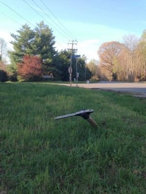
Photographed by Brandon Cross, April 17, 2014
3. Missing Marker - Only the Pole Remains
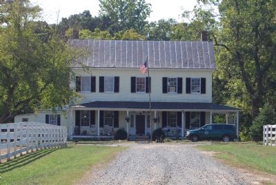
Photographed by Dawn Bowen, October 7, 2007
4. Cleydael
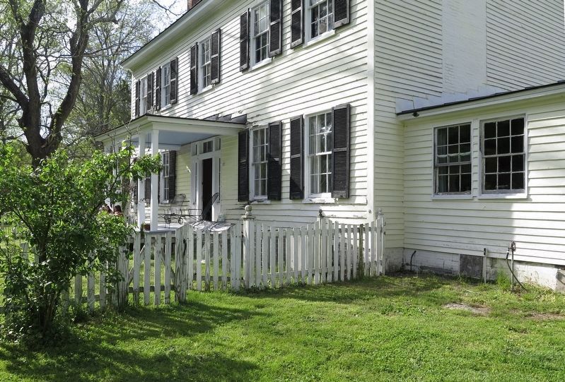
Photographed by Christopher J Shelton, April 28, 2018
5. Back of the house
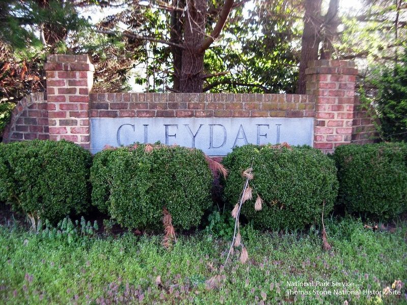
National Park Service, Thomas Stone National Historic Site, April 2, 2019
6. Cleydael Community Sign.
Viewing north to the sign, which is located at the intersection of Dahlgren Road and Cleydael Boulevard and about twenty yards from the site of the old marker and its replacement marker, which has revised text.
Credits. This page was last revised on August 20, 2019. It was originally submitted on October 12, 2007, by Dawn Bowen of Fredericksburg, Virginia. This page has been viewed 4,123 times since then and 126 times this year. Last updated on October 12, 2007, by Dawn Bowen of Fredericksburg, Virginia. Photos: 1, 2. submitted on October 12, 2007, by Dawn Bowen of Fredericksburg, Virginia. 3. submitted on May 3, 2014, by J. J. Prats of Powell, Ohio. 4. submitted on October 12, 2007, by Dawn Bowen of Fredericksburg, Virginia. 5. submitted on August 29, 2018, by Christopher J Shelton of Indianapolis, Indiana. 6. submitted on August 19, 2019. • J. J. Prats was the editor who published this page.
