Fort Shawnee in Allen County, Ohio — The American Midwest (Great Lakes)
Shawnee Indian Reservation / U.S. Military Reserve
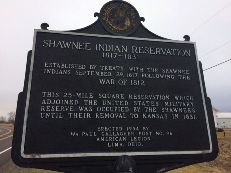
Shawnee Indian Reservation
1817-1831 Established by treaty with the Shawnee Indians September 29, 1817, following the War of 1812.
This 25 square mile reservation which adjoined the United States military reserve, was occupied by the Shawnees until their removal to Kansas in 1831.
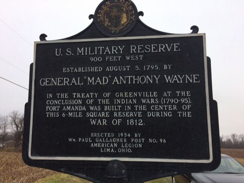
U.S. Military Reserve
900 feet west.
Established August 5th, 1795, by General "Mad" Anthony Wayne in the treaty of Greenville at the conclusion of the Indian wars (1790-1795). Fort Amanda was built in the center of this 6-mile square reserve during the War of 1812.
Erected 1954 by Wm. Paul Gallagher Post No. 96 American Legion Lima, Ohio.
Topics. This historical marker is listed in these topic lists: Native Americans • War of 1812 • Wars, US Indian. A significant historical year for this entry is 1790.
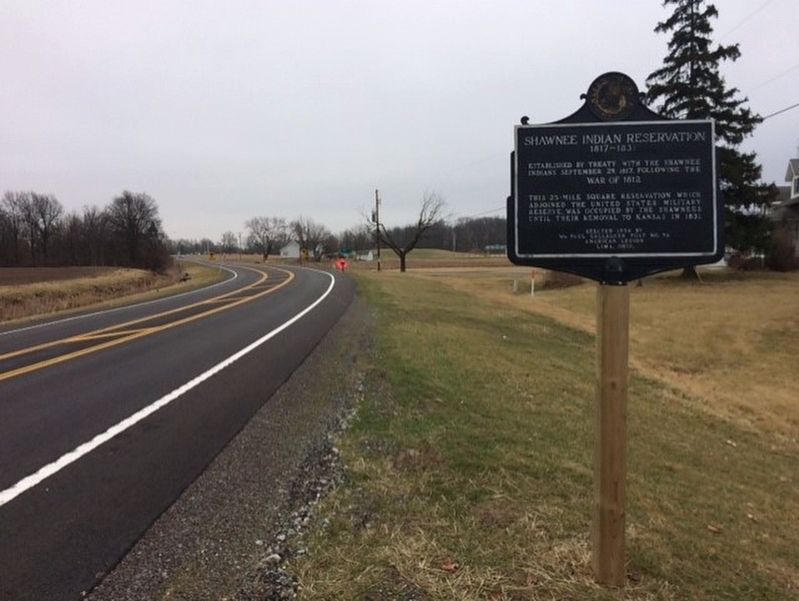
Location. 40° 43.092′ N, 84° 12.425′ W. Marker is in Fort Shawnee, Ohio, in Allen County. Marker is on Spencerville Road (Ohio Route 117), on the left when traveling west. 1/4 mile west of Route 501 on Route 117 heading west. Marker was removed during intersection rebuilding and recently replaced, using a wood post instead of the usual steel pipe. Touch for map. Marker is in this post office area: Lima OH 45805, United States of America. Touch for directions.
Other nearby markers. At least 8 other markers are within 4 miles of this marker, measured as the crow flies. Hermon Woodlands Veterans Memorial (approx. 1.9 miles away); Allentown, Ohio (approx. 2.6 miles away); Veterans Memorial (approx. 2.6 miles away); Sharp School Bell (approx. 2.8 miles away); Johnny Appleseed Tree (approx. 2.9 miles away); In Memory of Chief P-H-T and the Hawg Creek Shawnee (approx. 3.1 miles away); Shawnee Council House (approx. 3.2 miles away); Tawa Town (approx. 3.6 miles away). Touch for a list and map of all markers in Fort Shawnee.
Credits. This page was last revised on April 27, 2022. It was originally submitted on January 19, 2017, by Michael Baker of Lima, Ohio. This page has been viewed 1,594 times since then and 136 times this year. Last updated on April 21, 2022, by Craig Doda of Napoleon, Ohio. Photos: 1, 2, 3. submitted on January 19, 2017, by Michael Baker of Lima, Ohio. • Devry Becker Jones was the editor who published this page.


