Manassas in Prince William County, Virginia — The American South (Mid-Atlantic)
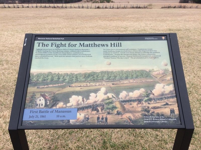
The Fight for Matthews Hill
First Battle of Manassas
— July 21, 1861 10 a.m. —
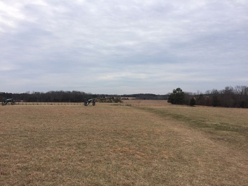
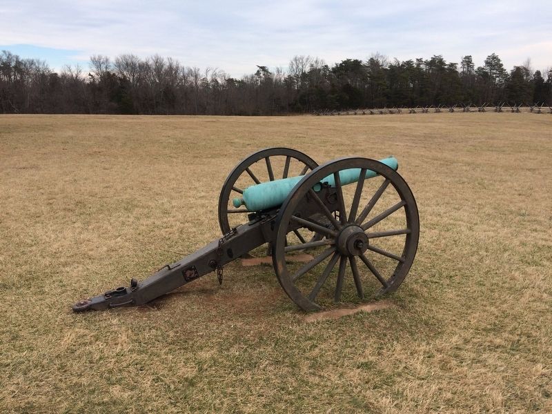
Fighting opened here on Matthews Hill as Colonel Ambrose Burnside's brigade, leading the Union flanking column, collided with Confederates. Six James Rifles of the 2nd Rhode Island Battery established an advantageous position on the crest while Union infantry pressed forward into a cornfield beyond. With each few minutes that passed, more Federals reached the front.
Yet Union forces encountered stiff resistance. Confederate troops made headlong charges in a bold show of force that disguised their true weakness in numbers. It took over ninety minutes to dislodge the stubborn Confederates. Despite the unexpected delays, the Union commander emerged confident of success. General McDowell triumphantly announced "Victory! Victory! The day is ours!" The proclamation proved premature.
(caption)
Artwork courtesy of the Anne S.K. Brown Military Collection, Brown University Library
Erected by Manassas Nationa Battlefield Park, National Park Service, U.S. Department of the Interior.
Topics. This historical marker is listed in these topic lists: Military • War, US Civil. A significant historical date for this entry is July 21, 1861.
Location. 38° 49.492′ N, 77° 31.889′ W. Marker is in Manassas, Virginia, in Prince William County . Marker can be reached from Sudley Road (U.S. 234) 0.7 miles Lee Highway (Route 29), on the right when traveling north. Located along the Matthews Hill walking trail. Touch for map. Marker is at or near this postal address: 6511 Sudley Rd, Manassas VA 20109, United States of America. Touch for directions.
Other nearby markers. At least 8 other markers are within walking distance of this marker. Rhode Island Battery (here, next to this marker); 4th Alabama Infantry (about 500 feet away, measured in a direct line); 2nd Rhode Island Infantry (about 500 feet away); Blocking the Union Advance (about 500 feet away); The Matthew Farm (about 600 feet away); U.S. Infantry Battalion (approx. 0.2 miles away); First Contact (approx. 0.2 miles away); Matthews Hill (approx. 0.2 miles away). Touch for a list and map of all markers in Manassas.
Also see . . .
1. Manassas National Battlefield Park. National Park Service website entry (Submitted on February 20, 2017.)
2. Old Marker at this Location. This marker replaced an older one at this location titled “Rhode Island Battery” (Submitted on February 20, 2017.)
Credits. This page was last revised on April 11, 2024. It was originally submitted on February 19, 2017, by Shane Oliver of Richmond, Virginia. This page has been viewed 455 times since then and 34 times this year. Photos: 1, 2, 3. submitted on February 19, 2017, by Shane Oliver of Richmond, Virginia. • Bernard Fisher was the editor who published this page.


