Southport in Brunswick County, North Carolina — The American South (South Atlantic)
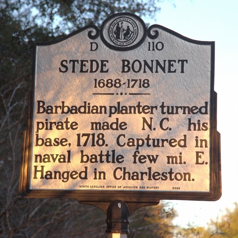
Stede Bonnet
1688–1718
Erected 2008 by North Carolina Office of Archives and History. (Marker Number D-110.)
Topics and series. This historical marker is listed in these topic lists: Colonial Era • Settlements & Settlers • Waterways & Vessels. In addition, it is included in the North Carolina Division of Archives and History series list. A significant historical year for this entry is 1718.
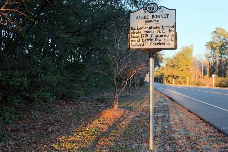
Location. 33° 55.948′ N, 77° 59.965′ W. Marker is in Southport, North Carolina, in Brunswick County. Marker is at the intersection of Ferry Road (State Highway 211) and the Deep Point Marina exit road, on the left when traveling east on Ferry Road. Touch for map. Marker is in this post office area: Southport NC 28461, United States of America. Touch for directions.
Other nearby markers. At least 8 other markers are within 2 miles of this marker, measured as the crow flies. Deep Water Point 1812-1814 (approx. ¼ mile away); Smithville Burying Ground (approx. 1.2 miles away); Railroad & Religion on Rhett Street (approx. 1.2 miles away); Old Jail (approx. 1.3 miles away); Franklin Square (approx. 1.4 miles away); Southport’s First Fire Alarm (approx. 1.4 miles away); Memorial to North Carolina Militia (approx. 1.4 miles away); Fort Johnston (approx. 1.4 miles away). Touch for a list and map of all markers in Southport.
Related marker. Click here for another marker that is related to this marker. This marker is where Stede Bonnet and his men met their just deserts after trial.
Also see . . . Wikipedia entry. “Because of marital problems, and despite his lack of sailing experience, Bonnet decided he should to turn to piracy in the summer of 1717. He bought a sailing vessel, named it Revenge, and traveled with his paid crew along the Eastern Seaboard of what is now the United States, capturing other vessels and burning other Barbadian ships. Bonnet set sail for Nassau, Bahamas, to the haven for pirates known as the ‘pirates’ republic,’ but he was seriously wounded en route during an encounter with a Spanish warship. After arriving in Nassau, Bonnet met Edward Teach, the infamous pirate Blackbeard. Incapable of leading his crew, Bonnet temporarily ceded his ship’s command to Blackbeard.” (Submitted on March 14, 2017.)
Credits. This page was last revised on November 28, 2019. It was originally submitted on March 14, 2017, by J. J. Prats of Powell, Ohio. This page has been viewed 1,184 times since then and 120 times this year. Photos: 1, 2, 3. submitted on March 14, 2017, by J. J. Prats of Powell, Ohio.


