Marietta in Washington County, Ohio — The American Midwest (Great Lakes)
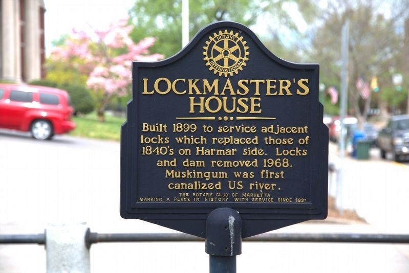
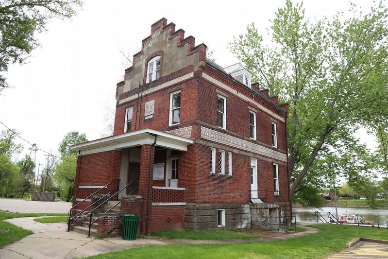
Lockmasterís House
Built 1899 to serve adjacent locks which replaced those of 1840ís on Harmar side. Locks and dam removed 1968. Muskingum was first canalized U.S. river
Erected by the Rotary Club of Marietta, marking a place in history with service since 1921.
Topics and series. This historical marker is listed in this topic list: Waterways & Vessels. In addition, it is included in the Rotary International series list. A significant historical year for this entry is 1899.
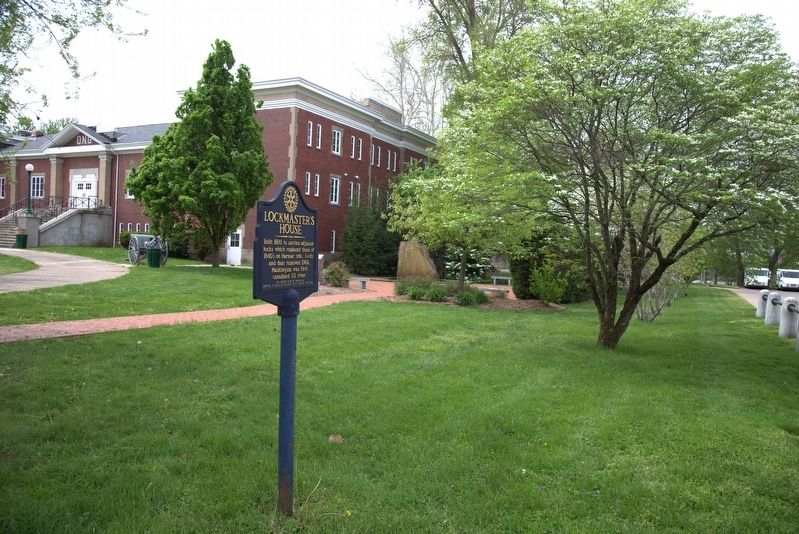
Location. 39° 24.817′ N, 81° 27.323′ W. Marker is in Marietta, Ohio, in Washington County. Marker is on Front Street south of Putnam Street, on the right when traveling south. Touch for map. Marker is at or near this postal address: 243 Front St, Marietta OH 45750, United States of America. Touch for directions.
Other nearby markers. At least 8 other markers are within walking distance of this marker. Veterans Walk Of Honor (a few steps from this marker); Combat Wounded Veterans (a few steps from this marker); Relic (within shouting distance of this marker); U.S.W.V. Memorial (within shouting distance of this marker); Hurricane Ivan (within shouting distance of this marker); Ohio National Guard Armory (within shouting distance of this marker); Wendelkens Grocery (within shouting distance of this marker); P.C. Fisher Boots & Shoes (within shouting distance of this marker). Touch for a list and map of all markers in Marietta.
Regarding Lockmasterís House. The locks and dams of the Muskingum River System allowed for boat travel for goods and passengers from the Ohio River at Marietta past Zanesville and all the way to Dresden in Central Ohio.
Also see . . . Muskingum River. ďThe new project was known as the Muskingum River Improvement. Construction began in 1836 and was completed in 1841. Improvements consisted of a system of eleven locks and dams that made the Muskingum River navigable from Marietta to a short feeder canal just south of Dresden, Ohio, that connected to the Ohio and Erie Canal. Residents of southeastern Ohio were pleased as the river system now encouraged economic opportunity in the region. The Muskingum River had hand-operated locks that were designed so that a boat could pass through each lock in about fifteen minutes.Ē (Submitted on May 8, 2017, by J. J. Prats of Powell, Ohio.)
Credits. This page was last revised on November 30, 2022. It was originally submitted on May 8, 2017, by J. J. Prats of Powell, Ohio. This page has been viewed 489 times since then and 27 times this year. Photos: 1, 2, 3. submitted on May 8, 2017, by J. J. Prats of Powell, Ohio. 4. submitted on October 28, 2022, by Craig Doda of Napoleon, Ohio.


