Franklin in Williamson County, Tennessee — The American South (East South Central)
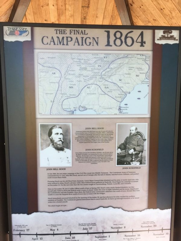
The Final Campaign 1864
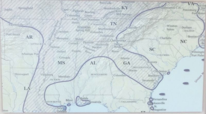
Pursuing Hood was his old West Point classmate, Union Major General John Schofield and his army of nearly equal size, who were ordered to delay Hood’s advance while other Federal forces gathered at Nashville. Hood began his campaign in earnest on November 21. For the next nine days the two armies fought at Lawrenceburg, Pulaski, Lynnville, and Columbia.
Then on November 29, just 11 miles (18km) south of here at Spring Hill, Hood’s army nearly flanked Schofield, but they inexplicably failed to block the Federal army’s route of retreat. Under the cover of the night, Schofield and his troops slipped past the Confederates into Franklin. Once there, the Federal army constructed a defensive line south of the town, because they were unable to cross the Harpeth River north of the town due to issues with the bridges.
Hood immediately pursued Schofield on the morning of November 30, and that afternoon his army reached the southern outskirts of Franklin. The Confederate general determined that to reach Nashville, he had to go through Schofield, so he issued orders for a frontal assault.
The attack began at 4 pm…
(sidebar)
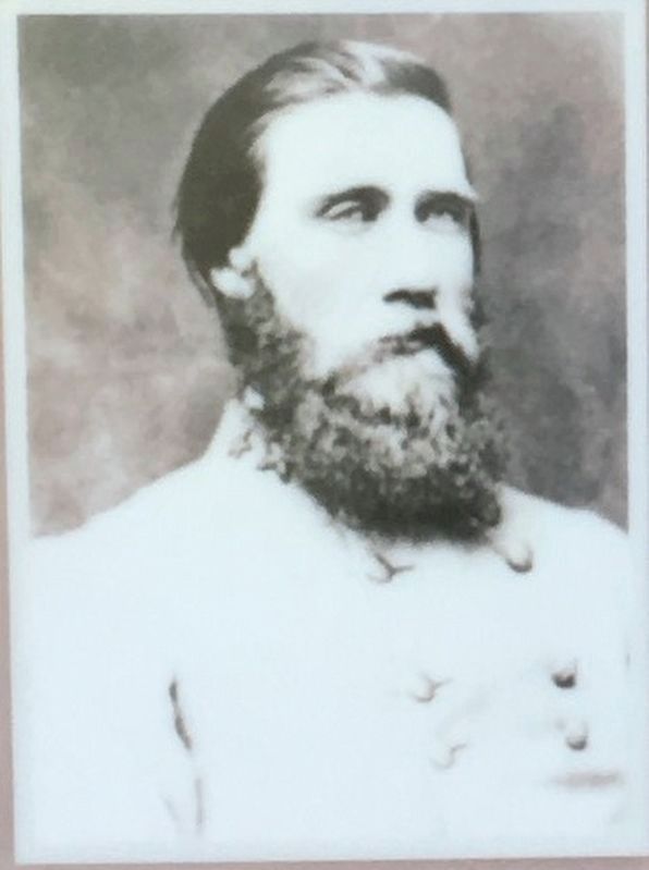
John Bell Hood
Lieutenant General John Bell Hood was only 33 years old when he commanded the Army of the Tennessee at Franklin. With a withered left arm (wounded at Gettysburg), and nearly his entire left leg missing (amputated at Chickamauga), he had the added pressure of commanding the largest mobile army left in the Confederacy. Robert E. Lee’s Army of Northern Virginia was then under siege, trapped in Richmond and Petersburg, unable to move and running out of supplies against the much larger Army of the Potomac.
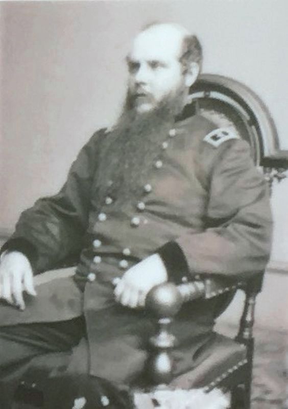
John Schofield
Union Major General John McAllister Schofield, also 33 years old at the Battle of Franklin, was hoping that his army would not need to fight here. But the high waters of the Harpeth River and problems with the two bridges that spanned it delayed his rush to reach Nashville and its vast network of Union forts. When the sun began to set here on November 30, 1864, it appeared that the darkness would help prevent a battle he wished to avoid. The battle came nonetheless.
Erected by Franklin's Charge.
Topics. This historical marker is listed in this topic list: War, US Civil. A significant historical date for this entry is November 21, 1864.
Location. 35° 54.297′ N, 86° 51.519′ W. Marker is in Franklin, Tennessee, in Williamson County. Marker can be reached from Eastern Flank Circle, 0.4 miles south of Lewisburg Pike (Business U.S. 431), on the right when traveling west. Located in Eastern Flank Battlefield Park. Touch for map. Marker is at or near this postal address: 1345 Eastern Flank Cir, Franklin TN 37064, United States of America. Touch for directions.
Other nearby markers. At least 8 other markers are within walking distance of this marker. Hood's Retreat (here, next to this marker); The Battle of Franklin (here, next to this marker); Standing at the Crossroads 1861 (here, next to this marker); Becoming the Front Line 1862 (here, next to this marker); A Crucial War Zone 1863 (here, next to this marker); Battle of Franklin, Eastern Flank (a few steps from this marker); a different marker also named Battle of Franklin, Eastern Flank (within shouting distance of this marker); a different marker also named Battle of Franklin, Eastern Flank (within shouting distance of this marker). Touch for a list and map of all markers in Franklin.
Also see . . . The Battle of Franklin. (Submitted on May 11, 2017, by Brandon Stahl of Fairfax, Virginia.)
Credits. This page was last revised on December 21, 2021. It was originally submitted on May 11, 2017, by Brandon Stahl of Fairfax, Virginia. This page has been viewed 310 times since then and 14 times this year. Last updated on December 20, 2021, by Bradley Owen of Morgantown, West Virginia. Photos: 1, 2, 3, 4, 5. submitted on May 11, 2017, by Brandon Stahl of Fairfax, Virginia. • J. Makali Bruton was the editor who published this page.
