Tobyhanna Township near Pocono Pines in Monroe County, Pennsylvania — The American Northeast (Mid-Atlantic)
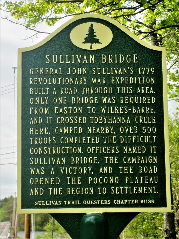
Sullivan Bridge
Erected 2017 by Sullivan Trail Questers #1138.
Topics and series. This historical marker is listed in these topic lists: Bridges & Viaducts • Roads & Vehicles • War, US Revolutionary. In addition, it is included in the Pennsylvania History Tour, Tobyhanna Township, and the The Sullivan-Clinton Expedition Against the Iroquois Indians series lists. A significant historical month for this entry is May 1779.
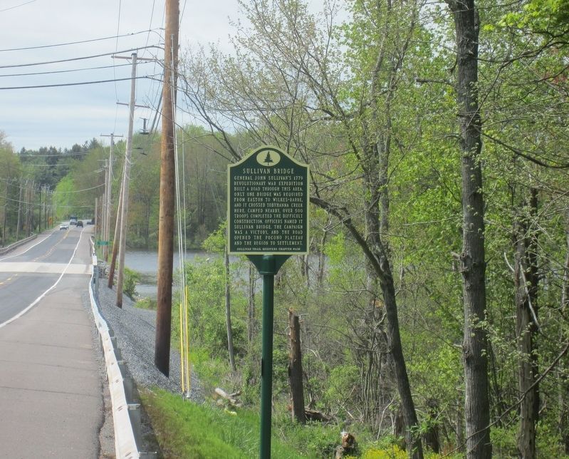
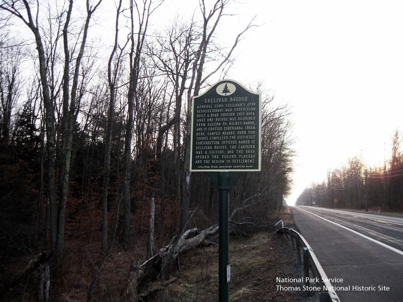
Location. 41° 6.67′ N, 75° 30.299′ W. Marker is near Pocono Pines, Pennsylvania, in Monroe County. It is in Tobyhanna Township. Marker is on Pennsylvania Route 940, on the right when traveling west. On the east side of Sullivan Bridge at Pocono Lake, on the north side of the road approaching the bridge. Touch for map. Marker is at or near this postal address: 111 PA-940, Pocono Pines PA 18350, United States of America. Touch for directions.
Other nearby markers. At least 8 other markers are within 2 miles of this marker, measured as the crow flies. William Henry Christman (approx. 0.4 miles away); Isaac Stauffer (approx. 0.8 miles away); The Lumbering Industry (approx. one mile away); Forest Products Industry (approx. 1.1 miles away); Salem United Church of Christ (approx. 1.2 miles away); Wagner's Tree Farm (approx. 1.2 miles away); Tobyhanna Township World War One Memorial (approx. 1Ĺ miles away); Commitment to Education (approx. 1Ĺ miles away). Touch for a list and map of all markers in Pocono Pines.
Also see . . . Sullivan Bridge Dedication Site. (Submitted on June 27, 2017, by Rick Bodenschatz of Pocono Pines, Pennsylvania.)
Credits. This page was last revised on August 19, 2019. It was originally submitted on May 24, 2017, by Rick Bodenschatz of Pocono Pines, Pennsylvania. This page has been viewed 776 times since then and 46 times this year. Photos: 1, 2. submitted on May 24, 2017, by Rick Bodenschatz of Pocono Pines, Pennsylvania. 3. submitted on August 8, 2019. • Bill Pfingsten was the editor who published this page.


