Near Spotsylvania Courthouse in Spotsylvania County, Virginia — The American South (Mid-Atlantic)
Spotsylvania Campaign
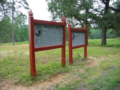
Erected by United States Department of the Interior - National Park Service.
Topics. This historical marker is listed in this topic list: War, US Civil. A significant historical date for this entry is May 12, 1864.
Location. 38° 13.415′ N, 77° 35.781′ W. Marker is near Spotsylvania Courthouse, Virginia, in Spotsylvania County. Marker can be reached from Gordon Drive, on the left when traveling north. Located on the East Face of the Salient trail at tour stop six (East Face) on the driving tour of Spotsylvania Battlefield unit of the Fredericksburg and Spotsylvania National Military Park. Touch for map . Marker is in this post office area: Spotsylvania VA 22553, United States of America. Touch for directions.
Other nearby markers. At least 8 other markers are within walking distance of this marker. A different marker also named Spotsylvania Campaign (here, next to this marker); The Confederate Line (about 400 feet away, measured in a direct line); Dawn Assault (about 500 feet away); Fatal Mistake at the East Angle (about 500 feet away); "The Toughest Fight Yet" (about 800 feet away); Struggle for the Bloody Angle (approx. 0.2 miles away); The Confederate Earthworks (approx. 0.2 miles away); A Mass Capture (approx. 0.2 miles away). Touch for a list and map of all markers in Spotsylvania Courthouse.
Also see . . . East Face of Salient. National Park Service website entry (Submitted on August 17, 2008, by Craig Swain of Leesburg, Virginia.)

Photographed By Craig Swain, July 6, 2008
4. The East Angle
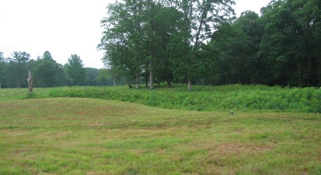
Looking from the trail path, from the direction of the Federal attack, toward the earthworks of the East Angle. The Confederate defenders had arranged the initial trenches at night, conforming to the existing woodlines. The resultant line formed a bulge of sorts, which offered many blind spots and was vulnerable to Federal attack. However, once the line was laid, Confederate commanders were reluctant to give up the ground, particularly high ground around the McCoull house.
Credits. This page was last revised on December 17, 2022. It was originally submitted on August 17, 2008, by Craig Swain of Leesburg, Virginia. This page has been viewed 1,275 times since then and 9 times this year. Photos: 1, 2, 3, 4. submitted on August 17, 2008, by Craig Swain of Leesburg, Virginia.


