Springfield in Fairfax County, Virginia — The American South (Mid-Atlantic)
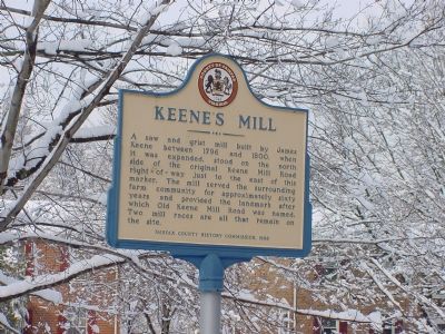
Keene’s Mill
Erected 1998 by Fairfax County History Commission.
Topics and series. This historical marker is listed in these topic lists: Agriculture • Industry & Commerce. In addition, it is included in the Virginia, Fairfax County History Commission series list. A significant historical year for this entry is 1796.
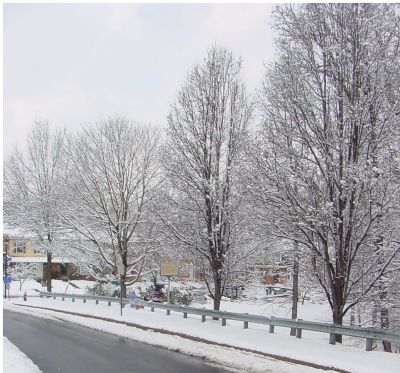
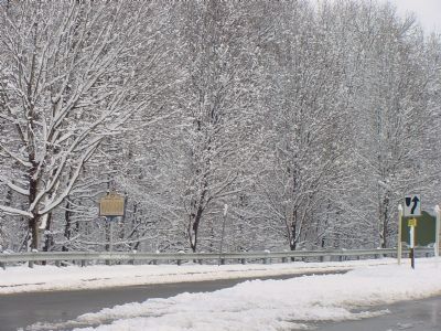
Location. 38° 46.488′ N, 77° 14.965′ W. Marker is in Springfield, Virginia, in Fairfax County. Marker is on Huntsman Boulevard north of Old Keene Mill Road (County Route 644), on the right when traveling north. Touch for map. Marker is at or near this postal address: 8864 Cork County Ct, Springfield VA 22152, United States of America. Touch for directions.
Other nearby markers. At least 10 other markers are within 2 miles of this marker, measured as the crow flies. Sydenstricker Schoolhouse (approx. 1.4 miles away); Copperthite Racetrack (approx. 1˝ miles away); Post Office (approx. 1.7 miles away); Ice House (approx. 1.7 miles away); The Silas Burke House (approx. 1.7 miles away); Windmill (approx. 1.7 miles away); Wood Shed (approx. 1.7 miles away); Marshall Family Cemetery (approx. 1.7 miles away); a different marker also named Silas Burke House (approx. 1.7 miles away); Burke's Station (approx. 1.8 miles away).
Regarding Keene’s Mill. The mill was on Pohick Creek near where Old Keene Mill Road crosses it, just a short distance west of the Rolling Road.
Also see . . .
1. On the Trail of Keene's Mill. 2009 article by Andy99 on TavBuddy.com. Contains photos of the remains of the millraces. (Submitted on June 20, 2015.)
2. Murder at the Old Keene Mill, 1855. 2015 article by Wes Clark. (Submitted on July 29, 2016.)
Credits. This page was last revised on January 27, 2022. It was originally submitted on February 12, 2006, by J. J. Prats of Powell, Ohio. This page has been viewed 9,577 times since then and 217 times this year. Photos: 1, 2, 3. submitted on February 12, 2006, by J. J. Prats of Powell, Ohio.


