Near Canadian River Breaks in Potter County, Texas — The American South (West South Central)
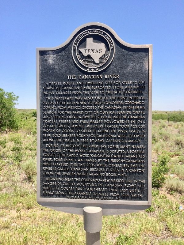
The Canadian River
A travel route and dwelling site for over 12,000 years, the Canadian River supported stone and adobe Indian villages from the 12th to the 14th Centuries.
This waterway was also one of the first interior rivers of the U.S. known to early explorers. Coronado, coming from Mexico, crossed the Canadian in 1541 in his search for the famed city of Quivira. Juan de Onate, also seeking Quivira, saw the river in 1601. The Canadian traders Pierre and Paul Mallet followed it in 1741. Josiah Gregg, famous Missouri trader, took $25,000 worth of goods to Santa Fe along the river trails in 1839. Gold seekers bound for California were escorted along the trails in 1849 by Army Captain R.B. Marcy.
During its history, the river has borne many names. The origin of the word "Canadian" is disputed. A possible source is the Caddo word "Kanohatino", which means "Red River". Some think it was named by the French-Canadians who traveled it in the 1700s, while others believe the river is called "Canadian" because it rises in a "canyon" (from the Spanish word meaning "boxed-in").
Beginning near the Colorado-New Mexico line in the Sangre de Cristo Mountains, the Canadian flows 900 miles. Its course runs southeast, then east until it finally joins the Arkansas 36 miles from Fort Smith.
Recorded Texas Historic Landmark
Erected 1967 by State Historical Survey Committee. (Marker Number 693.)
Topics. This historical marker is listed in these topic lists: Exploration • Industry & Commerce • Native Americans • Waterways & Vessels. A significant historical year for this entry is 1541.
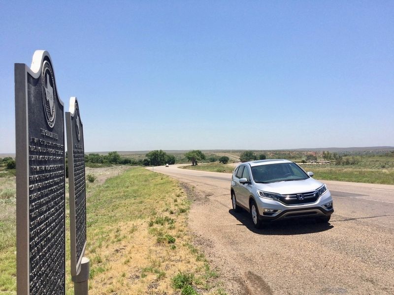
Location. 35° 28.552′ N, 101° 52.984′ W. Marker is near Canadian River Breaks, Texas, in Potter County. Marker is on U.S. 287, 0.6 miles north of Canadian River Road, on the right when traveling north. The marker is located about 15 miles north of Amarillo. Touch for map. Marker is at or near this postal address: 24 US-287, Amarillo TX 79108, United States of America. Touch for directions.
Other nearby markers. At least 8 other markers are within 13 miles of this marker, measured as the crow flies. Great Spanish Road / First Ranch in Potter County / First Store in Potter County (here, next to this marker); First Cemetery in Potter County (about 400 feet away, measured in a direct line); The _X (LX) First Ranch in Potter County (approx. 1.6 miles away); The United States Topographical Engineers in the High Plains of Texas (approx. 1.6 miles away); First Gas Well in the Panhandle of Texas (approx. 7.7 miles away); McBride Ranch House (approx. 9.8 miles away); Masterson (approx. 11.7 miles away); a different marker also named The Canadian River (approx. 12.2 miles away).
Also see . . .

Photographed By Mark Hilton, June 29, 2017
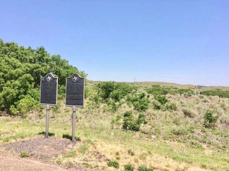
2. The Canadian River marker is the one on the left.
Another marker (#2265) with 3 subjects: "Great Spanish Road; First Ranch in Potter County; and "First Store in Potter County" is right beside this marker.
There is another Canadian River marker (#694) on Texas Highway 136, about 40 miles northeast of Amarillo.
There is another Canadian River marker (#694) on Texas Highway 136, about 40 miles northeast of Amarillo.
Additional commentary.
1.
Note To Editor only visible by Contributor and editor
— Submitted June 1, 2020, by Allen Lowrey of Amarillo, Texas.
Credits. This page was last revised on June 1, 2020. It was originally submitted on July 2, 2017, by Mark Hilton of Montgomery, Alabama. This page has been viewed 1,067 times since then and 98 times this year. Last updated on May 7, 2020, by Allen Lowrey of Amarillo, Texas. Photos: 1, 2, 3. submitted on July 2, 2017, by Mark Hilton of Montgomery, Alabama. • J. Makali Bruton was the editor who published this page.

