Near Pelican in De Soto Parish, Louisiana — The American South (West South Central)
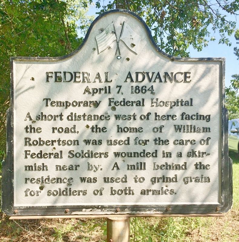
Federal Advance
April 7, 1864
— Temporary Federal Hospital —
Erected by the State of Louisiana.
Topics. This historical marker is listed in these topic lists: Science & Medicine • War, US Civil.
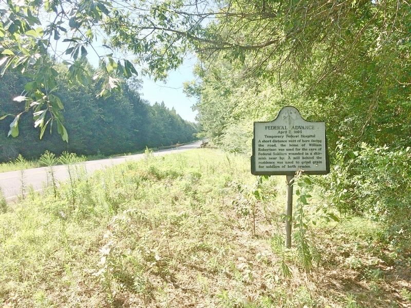
Location. 31° 55.576′ N, 93° 34.849′ W. Marker is near Pelican, Louisiana, in De Soto Parish. Marker is on Louisiana Route 175, half a mile south of Jimmy Lee Road, on the right when traveling south. Touch for map. Marker is at or near this postal address: 19412 LA-175, Pelican LA 71063, United States of America. Touch for directions.
Other nearby markers. At least 8 other markers are within 7 miles of this marker, measured as the crow flies. Double Churches (approx. 1.4 miles away); Las Ormigas Spanish Land Grant (approx. 1.9 miles away); Grove Hill Veterans Memorial (approx. 2.7 miles away); Pelican 1881 (approx. 3 miles away); a different marker also named Federal Advance (approx. 4.7 miles away); Army of the Tennessee (approx. 5.7 miles away); Dog Trot House (approx. 6.1 miles away); Sergeant John H. Cook (approx. 6.2 miles away). Touch for a list and map of all markers in Pelican.
Also see . . . Wikipedia article on the Battle of Pleasant Hill. (Submitted on July 11, 2017, by Mark Hilton of Montgomery, Alabama.)
Additional commentary.
1. Firing practice.
Appears this marker is subject to random gunfire from passersby.
— Submitted July 11, 2017, by Mark Hilton of Montgomery, Alabama.
Credits. This page was last revised on July 11, 2017. It was originally submitted on July 11, 2017, by Mark Hilton of Montgomery, Alabama. This page has been viewed 321 times since then and 7 times this year. Photos: 1, 2. submitted on July 11, 2017, by Mark Hilton of Montgomery, Alabama.

