Stuart in Martin County, Florida — The American South (South Atlantic)
Gilbert's Bar Prehistoric Site
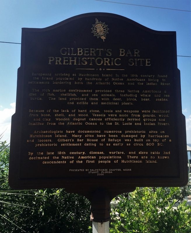
The rich marine environment provided these Native Americans a diet of fish, shellfish, and sea animals, including whale and sea turtle. The land provided them with deer, bear, snakes, and edible and medicinal plants.
Because of the lack of hard stone, tools and weapons were fashioned from bone, shell, and wood. Vessels were made from gourds, wood, and clay. Wooden dugout canoes efficiently ferried groups and families from the Atlantic Ocean to the St. Lucie and Indian Rivers.
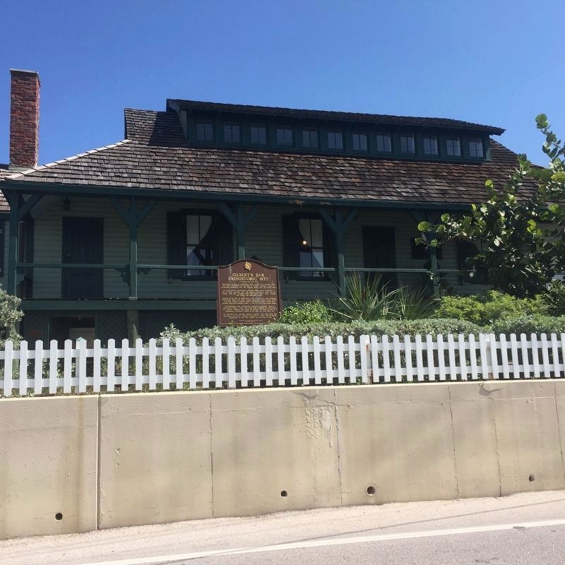
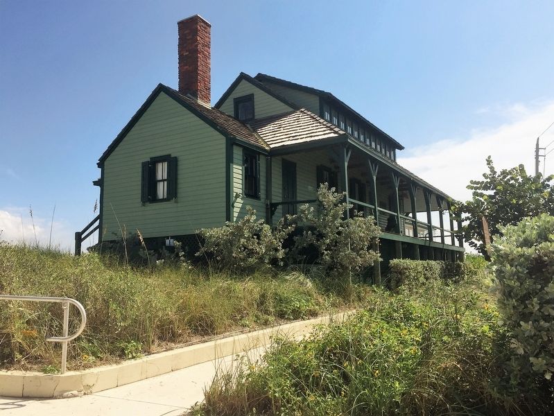
Archaeologists have documented numerous prehistoric sites on Hutchinson Island. Many sites have been damaged by hurricanes and looters. Gilbert's Bar House of Refuge was built on top of a prehistoric settlement dating to as early as circa 800 BC.
By the late 18th century, disease, warfare, and slave raids had decimated the† Native American populations. There are no known descendants of the first people of Hutchinson Island.
Erected 2008 by Halpatiokee Chapter, National Society Daughters of the American Revolution.
Topics and series. This historical marker is listed in these topic lists: Anthropology & Archaeology • Native Americans. In addition, it is included in the Daughters of the American Revolution series list.
Location. 27° 11.975′ N, 80° 9.944′ W. Marker is in Stuart, Florida, in Martin County. Marker is on Southeast MacArthur Boulevard, one mile south of Northeat Plantation Road, on the left when traveling south. Touch for map. Marker is at or near this postal address: 301 SE MacArthur Boulevard, Stuart FL 34996, United States of America. Touch for directions.
Other nearby markers. At least 8 other markers are within 4 miles of this marker, measured as the crow flies. Georges Valentine (within shouting distance of this marker); Gilbert's Bar House of Refuge (within shouting distance of this marker); The Sewall Home, Dock and Pineapple Fields (approx. 2 miles away); Sewall's Point (approx. 2.1 miles away); The Bakers of Waveland (approx. 2.3 miles away); Combat Wounded Veterans (approx. 3.4 miles away); Mount Elizabeth Mound (approx. 3Ĺ miles away); Mount Elizabeth (approx. 3Ĺ miles away). Touch for a list and map of all markers in Stuart.
Credits. This page was last revised on August 7, 2017. It was originally submitted on August 5, 2017, by Jay Kravetz of West Palm Beach, Florida. This page has been viewed 338 times since then and 14 times this year. Photos: 1, 2, 3. submitted on August 5, 2017, by Jay Kravetz of West Palm Beach, Florida. • Bernard Fisher was the editor who published this page.


