Andover in Ashtabula County, Ohio — The American Midwest (Great Lakes)
Pymatuning Wetlands / Pymatuning Reservoir
Inscription.
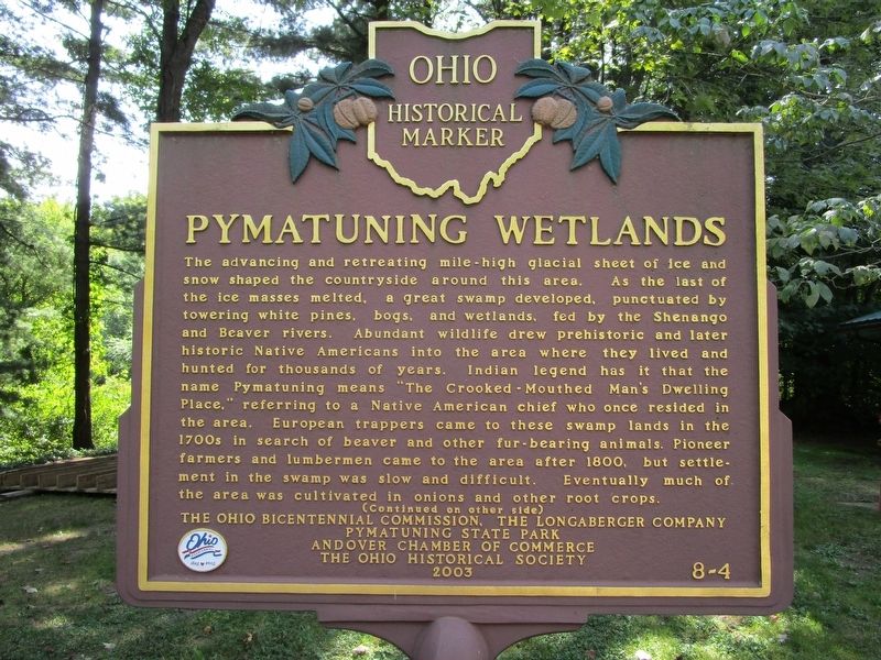
Pymatuning Wetlands
The advancing and retreating mile-high glacial sheet of ice and snow shaped the countryside around this area. As the last of the ice masses melted, a great swamp developed, punctuated by towering white pines, bogs, and wetlands, fed by the Shenango and Beaver Rivers. Abundant wildlife drew prehistoric and later historic Native Americans into the area where they lived and hunted for thousands of years. Indian legend has it that the name Pymatunging means "The crooked-Mouthed Man's Dwelling Place," referring to a Native American chief who once resided in the area. European trappers came to these swamp lands in the 1700s in search of beaver and other fur-bearing animals. Pioneer farmers and lumbermen came to the area after 1800, but settlement in the swamp was slow and difficult. Eventually much of the area was cultivated in onion and other root crops. (Continued on other side)
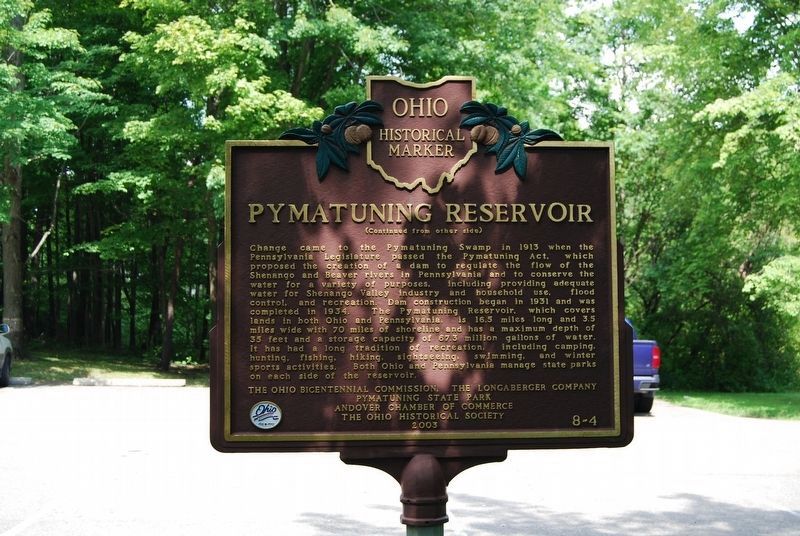
Pymatuning Reservoir
(Continued from other side) Change came to the Pymatuning Swamp in 1913 when the Pennsylvania Legislature passed the Pymatuning Act, which proposed the creation of a dam to regulate the flow of the Shenango and Beaver rivers in Pennsylvania and to conserve the water for a variety of purposes, including providing adequate water for Shenango Valley industry and household use, flood control, and recreation. Dam construction began in 1931 and was completed in 1934. The Pymatuning Reservoir, which covers lands in both Ohio and Pennsylvania, is 16.5 miles long and 3.5 miles wide with 70 miles of shoreline and has a maximum depth of 35 feet and a storage capacity of 67.3 million gallons of water. It has had a long tradition of recreation, including camping, hunting, fishing, hiking, sightseeing, swimming, and winter sports activities. Both Ohio and Pennsylvania manage state parks on each side of the reservoir.
Erected 2003 by The Ohio Bicentennial Commission, The Longaberger Company, Pymatuning State Park, Andover Chamber of Commerce, The Ohio Historical Society. (Marker Number 8-4.)
Topics and series. This historical marker is listed in these topic lists: Charity & Public Work • Man-Made Features • Native Americans. In addition, it is included in the Ohio Historical Society / The Ohio History Connection series list. A significant historical year for this entry is 1931.
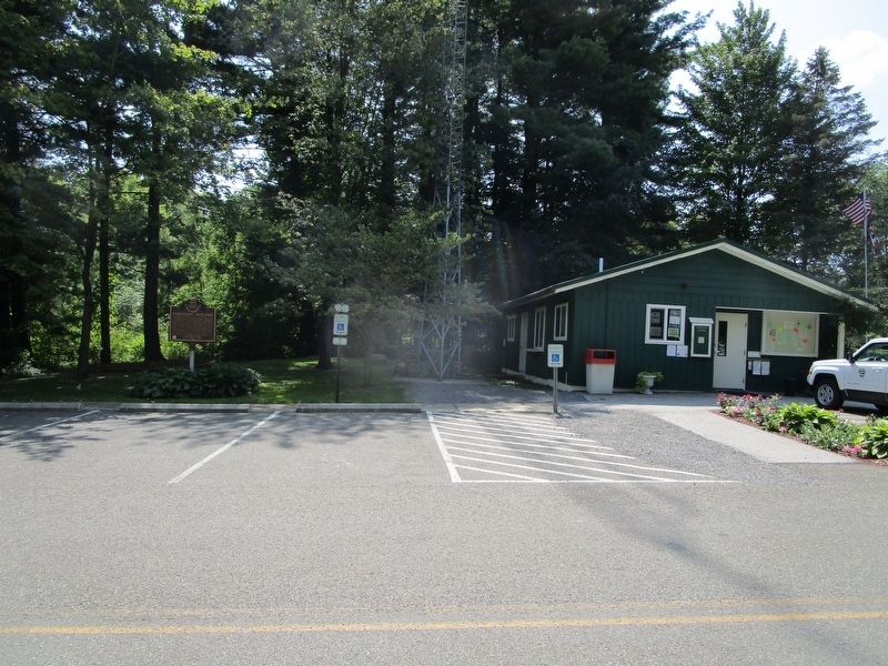
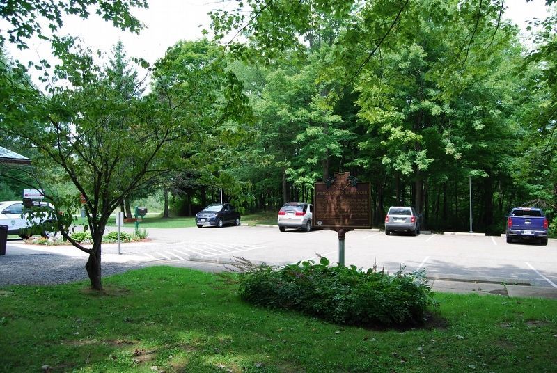
Location. 41° 35.11′ N, 80° 32.472′ W. Marker is in Andover, Ohio, in Ashtabula County. Marker is on Pymatuning Lake Road (County Route 274) 1.2 miles north of Martin Road (County Route 269), on the left when traveling south. Marker is at the Pymatuning State Park office. Touch for map. Marker is at or near this postal address: 6100 Pymatuning Lake Road, Andover OH 44003, United States of America. Touch for directions.
Other nearby markers. At least 8 other markers are within 9 miles of this marker, measured as the crow flies. Township of Andover Veterans Memorial (approx. 2.2 miles away); Cherry Valley Veterans Memorial (approx. 6.7 miles away); Upon This Tablet (approx. 7.4 miles away); Wayne Township Veterans Memorial (approx. 7.4 miles away); Old Grist Mill (approx. 7.4 miles away); Jamestown Community Veterans Memorial (approx. 8.7 miles away in Pennsylvania); Erie Extension Canal (approx. 8.9 miles away in Pennsylvania); a different marker also named Erie Extension Canal (approx. 9 miles away in Pennsylvania).
Credits. This page was last revised on August 13, 2018. It was originally submitted on August 30, 2017, by Anton Schwarzmueller of Wilson, New York. This page has been viewed 833 times since then and 69 times this year. Photos: 1. submitted on August 30, 2017, by Anton Schwarzmueller of Wilson, New York. 2. submitted on August 11, 2018, by Mike Wintermantel of Pittsburgh, Pennsylvania. 3. submitted on August 30, 2017, by Anton Schwarzmueller of Wilson, New York. 4. submitted on August 11, 2018, by Mike Wintermantel of Pittsburgh, Pennsylvania.


