Near West Point in Clay County, Mississippi — The American South (East South Central)
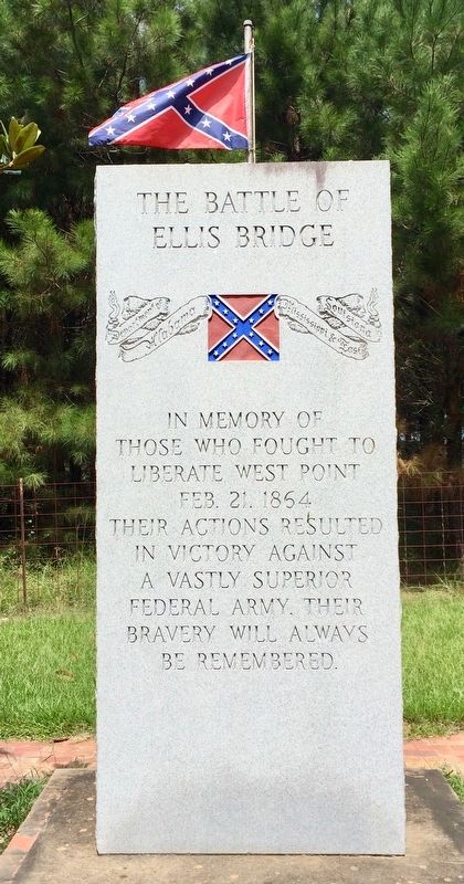
The Battle of Ellis Bridge
Front
those who fought to
liberate West Point
Feb. 21, 1864
Their actions resulted
in victory against
a vastly superior
Federal army. Their
bravery will always
be remembered.
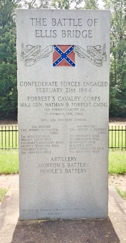
February 21st. 1864
Forrest's Cavalry Corps
Maj. Gen. Nathan B. Forrest, Cmdg.
Gen. Forrest's Escort Co.,
Lt. Thomas S. Tate, Cmdg.
Brig. Gen. Chalmers' Division
2nd Brigade
Col. Robert McCullouch, Cmdg.
2nd Missouri Regt.
Willis's Texas Btln.
Faulkner's Kentucky Regt.
Keizer's Tennessee Btln.
Chalmers's Btln.
2nd Arkansas Regt.
4th Brigade
Col. Jeffery E. Forrest, Cmdg.
5th Mississippi Regt.
3rd Mississippi Regt.
McDonald's Btln.
McQuirk's Regt. Duff's Mississippi Btln.
7th Tennessee Regt.
Artillery
Morton's Battery
Hoole's Battery
Erected 1994 by Possum Town Reenactors, Inc.
Topics. This memorial is listed in these topic lists: Bridges & Viaducts • War, US Civil. A significant day of the year for for this entry is May 31.
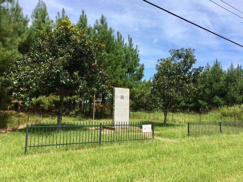
Location. 33° 36.448′ N, 88° 43.754′ W. Marker is near West Point, Mississippi, in Clay County. Memorial is on Mississippi Route 50 west of Hillside Drive, on the right when traveling west. Touch for map. Marker is in this post office area: West Point MS 39773, United States of America. Touch for directions.
Other nearby markers. At least 8 other markers are within 5 miles of this marker, measured as the crow flies. Mary Holmes College (approx. 3˝ miles away); Waverley (approx. 4.1 miles away); West Point (approx. 4.7 miles away); Indian Camp Ground (approx. 4.7 miles away); Prehistoric Indian Burial Mound (approx. 4.7 miles away); Howlin' Wolf (approx. 4.8 miles away); Chickasaw Burial Ground (approx. 4.8 miles away); Clay County World War I Memorial (approx. 4.8 miles away). Touch for a list and map of all markers in West Point.
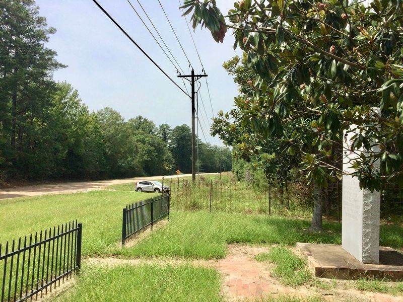
More about this marker. This monument is located about 1.1 miles west of the bridge (location of battle). The monument was placed here because it was the only place that land could be obtained to erect it.
Photographed By Mark Hilton, August 25, 2017
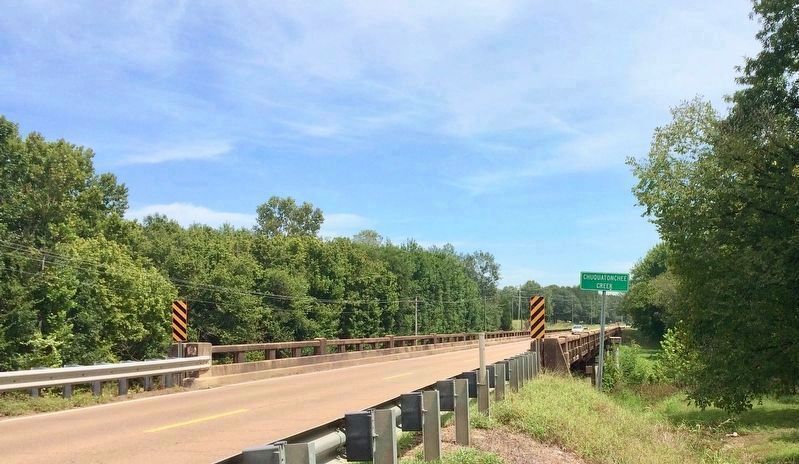
3. Battle of Ellis Bridge probable location.
The current bridge (a little over 1 mile from monument) at Chuquatonchee Creek (known as Sakatonchee Creek during the Civil War). The original wartime Ellis Bridge crossed at this exact location but the actual location of the battle is currently not known. The battle did take place at or very near this location along the creek crossing. This bridge is about three miles west of West Point on Highway 50. This view is looking East towards West Point.
Credits. This page was last revised on September 29, 2020. It was originally submitted on September 1, 2017, by Mark Hilton of Montgomery, Alabama. This page has been viewed 987 times since then and 102 times this year. Photos: 1, 2, 3, 4, 5, 6. submitted on September 1, 2017, by Mark Hilton of Montgomery, Alabama.
