Sullivan's Pond
A Marker of Distinction
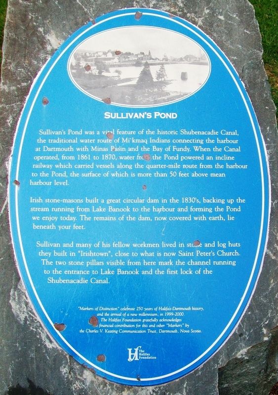
Sullivan’s Pond was a vital feature of the historic Shubenacadie Canal, the traditional water route of Mi’kmaq Indians connecting the harbour at Dartmouth with Minas Pasin and the Bay of Fundy. When the Canal operated, from 1861 to 1870, water from the Pond powered an incline railway which carried vessels along the quarter-mile route from the harbor to the Pond, the surface of which is more than 50 feet above mean harbor level.
Irish stone-masons built a great circular dam in the 1830’s, backing up the stream running from Lake Banook to the harbor and forming the Pond we enjoy today. The remains of the dam, now covered with earth, lie beneath your feet.
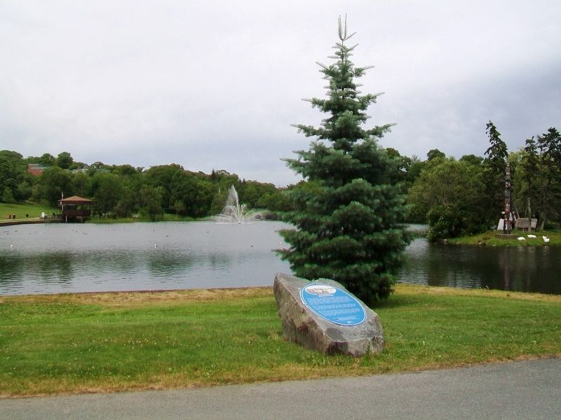
Sullivan and many of his fellow workmen lived in stone and log huts they built in “Irishtown”, close to what is now Saint Peter’s Church. The two stone pillars visible from here mark the channel running to the entrance to Lake Banook and the first lock of the Shubenacadie Canal.
"Markers of Distinction" celebrate 250 years of Halifax-Dartmouth history, and the arrival of a new millennium, in 1999-2000. The Halifax Foundation gratefully acknowledges the financial contribution for this and other "Markers" by the Charles V. Keating Communication Trust, Dartmouth, Nova Scotia
Erected by The Halifax
Topics. This historical marker is listed in these topic lists: Charity & Public Work • Man-Made Features • Waterways & Vessels. A significant historical year for this entry is 1861.
Location. 44° 40.304′ N, 63° 33.82′ W. Marker is in Dartmouth, Nova Scotia, in Halifax Region. Marker is on Crichton Avenue, 0.1 kilometers Ochterloney Street (Nova Scotia Route 322), on the right when traveling north. Touch for map. Marker is at or near this postal address: Sullivan's Pond Park, Dartmouth NS B2Y 1P1, Canada. Touch for directions.
Other nearby markers. At least 8 other markers are within walking distance of this marker. Totem Pole (here, next to this marker); Legion War Memorial (a few steps from this marker); Starboard Propeller of CCGS John A. Macdonald (approx. one kilometer away); How Dartmouth Has Grown (approx. one kilometer away); Wild about roses/La vie en rose (approx. one kilometer away); Vera B. Stone (approx. one kilometer away); Canadian Military Engineers/Génie militaire canadien (approx. one kilometer away); "Bridges for Canada"/« Ponts pour le Canada » (approx. one kilometer away). Touch for a list and map of all markers in Dartmouth.
Also see . . . Sullivan's Pond at Wikipedia. (Submitted on September 27, 2017, by William Fischer, Jr. of Scranton, Pennsylvania.)
Credits. This page was last revised on January 20, 2018. It was originally submitted on September 27, 2017, by William Fischer, Jr. of Scranton, Pennsylvania. This page has been viewed 361 times since then and 43 times this year. Photos: 1, 2. submitted on September 27, 2017, by William Fischer, Jr. of Scranton, Pennsylvania.

