Southwest Waterfront in Southwest Washington in Washington, District of Columbia — The American Northeast (Mid-Atlantic)
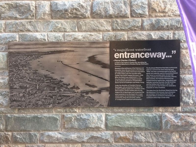
"a magnificent waterfront entranceway…"

Photographed By Devry Becker Jones (CC0), October 27, 2017
1. "a magnificent waterfront entranceway..." Marker
"a magnificent waterfront entranceway…"
Pierre Charles L'Enfant
architect of the Nation's Capital City, describing the Southwest Waterfront to President George Washington
Situated at the confluence of the Potomac and Anacostia rivers, the area known as Southwest was populated by Native Americans long before its written history was first recorded when Captain John Smith mapped the area in 1608. When the District was established in 1791, the area was still rural and largely occupied by the extensive plantations of landholders Daniel Carroll and Duddington and Notley Young.
Under the direction of President George Washington, who envisioned the federal city as both a political capital and a maritime center, Pierre Chalres L'Enfant drafted plans for the Federal City of Washington and recognized the area's potential to be developed into a major inland seaport by incorporating a maritime community along the shoreline, calling it "a magnificent waterfront entranceway."
The Southwest Waterfront has been continuously used as a commercial wharf since the early 1800s, and was a prominent point of arrival for goods and materials used by the growing federal city—home to municipal piers, ice and coal docks, and fish and coastal steamship wharves. More recently, this Potomac Riverfront, the SW ArtsFest, and the holiday boat Parade of Lights, and has served as an ideal location for celebratory fireworks on many occasions.
The views from the Southwest Waterfront during the blooming beloved cherry blossoms are unrivaled, having attracted the likes of President Wilson and Eleanor Roosevelt, and continue to draw large crowds today.
Erected 2017 by Hoffman Madison Waterfront LLC.
Topics and series. This historical marker is listed in these topic lists: Native Americans • Settlements & Settlers • Waterways & Vessels. In addition, it is included in the Eleanor Roosevelt, and the Former U.S. Presidents: #28 Woodrow Wilson series lists. A significant historical year for this entry is 1608.
Location. 38° 52.791′ N, 77° 1.539′ W. Marker is in Southwest Washington in Washington, District of Columbia. It is in Southwest Waterfront. Marker can be reached from the intersection of Maine Avenue Southwest and 9th Street Southwest, on the right when traveling east. Touch for map. Marker is at or near this postal address: 100 District Square Southwest, Washington DC 20024, United States of America. Touch for directions.
Other nearby markers. At least 8 other markers are within walking distance of this marker. Abraham Lincoln (a few steps from this marker); America's Oldest Operating Fish Market (within shouting distance of this marker); Notley Young's Mansion (within shouting distance of

Photographed By Devry Becker Jones (CC0), October 27, 2017
2. "a magnificent waterfront entranceway..." Marker
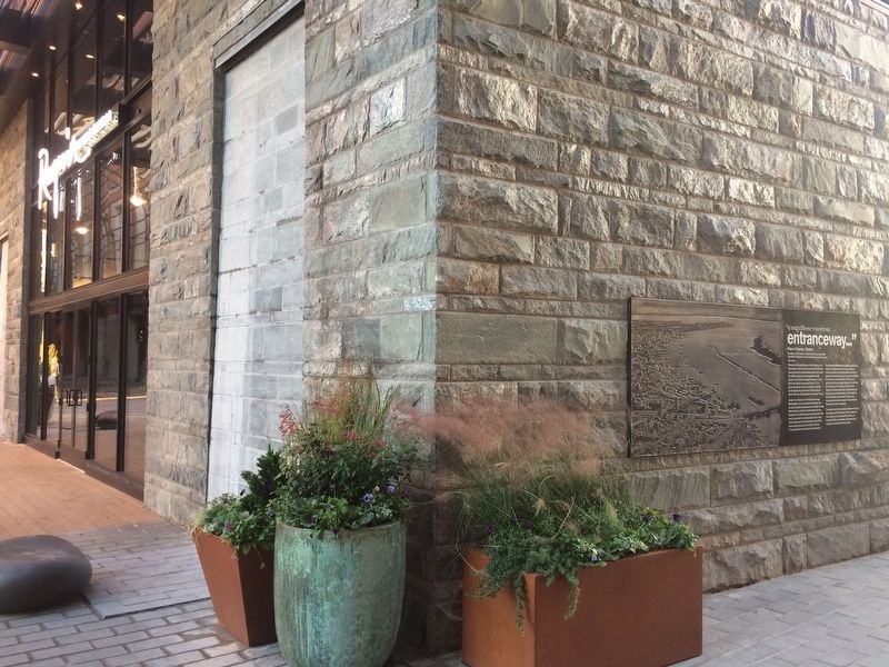
Marker on the side of Requin
Credits. This page was last revised on January 7, 2024. It was originally submitted on October 27, 2017, by Devry Becker Jones of Washington, District of Columbia. This page has been viewed 251 times since then and 13 times this year. Photos: 1, 2. submitted on October 27, 2017, by Devry Becker Jones of Washington, District of Columbia. • Bill Pfingsten was the editor who published this page.