Near Pioneer in West Carroll Parish, Louisiana — The American South (West South Central)
Poverty Point Earthworks
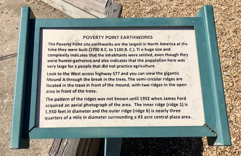
The Poverty Point site earthworks are the largest in North America at the time they were built (1700 B.C. to 1100 B. C.). The huge size and complexity indicates that the inhabitants were settled, even though they were hunter-gatherers and also indicates that the population here was very large for a people that did not practice agriculture.
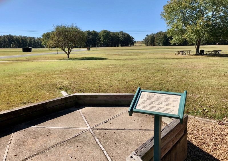
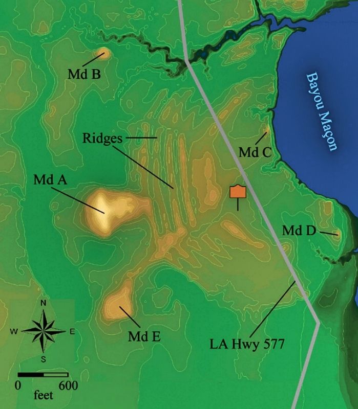
Look to the West across highway 577 and you can view the gigantic Mound A through the break in the trees. The semi-circular ridges are located in the trees in front of the mound, with two ridges in the open area in front of the trees.
The pattern of the ridges was not known until 1952 when James Ford acquired an aerial photograph of the area. The inner ridge (ridge 1) is 1,950 feet in diameter and the outer ridge (ridge 6) is nearly three quarters of a mile in diameter surrounding a 43 acre central plaza area.
Topics. This historical marker is listed in these topic lists: Anthropology & Archaeology • Native Americans.
Location. 32° 38.15′ N, 91° 24.224′ W. Marker is near Pioneer, Louisiana, in West Carroll Parish. Marker can be reached from Louisiana Route 577, 1.2 miles north of Highway 134. Touch for map. Marker is at or near this postal address: 6859 LA-577, Pioneer LA 71266, United States of America. Touch for directions.
Other nearby markers. At least 8 other markers are within walking distance of this marker. After Poverty Point (a few steps from this marker); Poverty Point World Heritage Site (a few steps from this marker); Peopling of the Americas (a few steps from this marker); Poverty Point Artifacts (a few steps from this marker); Before Poverty Point (a few steps from this marker); The Natural and Cultural Environment (a few steps from this marker); This is Poverty Point (a few steps from this marker); The Poverty Point Landscape (a few steps from this marker). Touch for a list and map of all markers in Pioneer.
Also see . . . Wikipedia article on Poverty Point. (Submitted on November 1, 2017, by Mark Hilton of Montgomery, Alabama.)
Credits. This page was last revised on September 23, 2020. It was originally submitted on November 1, 2017, by Mark Hilton of Montgomery, Alabama. This page has been viewed 233 times since then and 12 times this year. Photos: 1, 2, 3. submitted on November 1, 2017, by Mark Hilton of Montgomery, Alabama.


