Orofino in Clearwater County, Idaho — The American West (Mountains)
Pit House Village
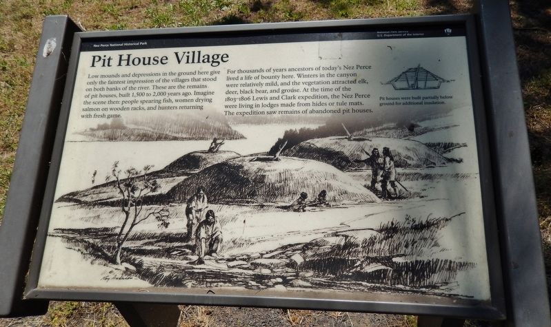
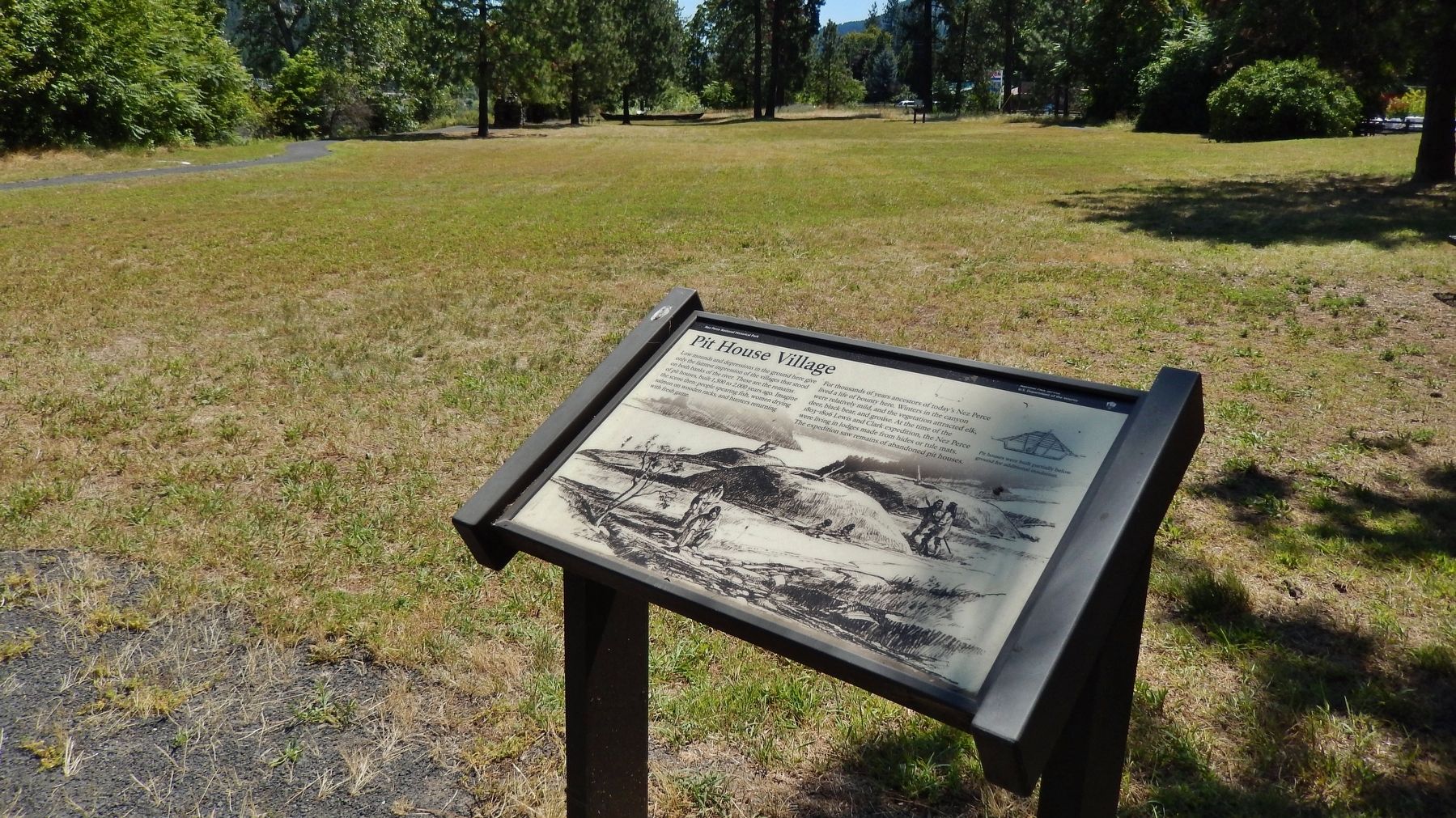
Low mounds and depression in the ground here give only the faintest impression of villages that stood on both banks of the river. These are the remains of pit houses, built 1,500 to 2,000 years ago. Imagine the scene then: people spearing fish, women drying salmon on wooden racks, and hunters returning with fresh game.
For thousands of years ancestors of today's Nez Perce lived a life of bounty here. Winters in the canyon were relatively mild, and the vegetation attracted elk, deer, black bear, and grouse. At the time of the 1803-1806 Lewis and Clark expedition, the Nez Perce were living in lodges made from hides or tule mats. The expedition saw remains of abandoned pit houses.
Erected by National Park Service, U.S. Department of the Interior.
Topics and series. This historical marker is listed in these topic lists: Animals • Anthropology & Archaeology • Native Americans • Settlements & Settlers. In addition, it is included in the Lewis & Clark Expedition series list.
Location. 46° 30.07′ N, 116° 19.853′ W. Marker is in Orofino, Idaho, in Clearwater County. Marker can be reached from the intersection of U.S. 12 and 140th Street, on the right when traveling west. Marker is in Lewis & Clark Canoe Camp State Park, on the north side of the highway, between the highway and the Clearwater River. Touch for map. Marker is in this post office area: Orofino ID 83544, United States of America. Touch for directions.
Other nearby markers. At least 8 other markers are within walking distance of this marker. 1804-1806 Corps of Discovery (within shouting distance of this marker); Welcome to Canoe Camp (within shouting distance of this marker); Orofino: A Fine Place (within shouting distance of this marker); Canoe Camp (within shouting distance of this marker); Ahsakha Village Site (within shouting distance of this marker); Canoe Building Site (about 300 feet away, measured in a direct line); Navigating the Clearwater (approx. 0.9 miles away); Clearwater River Log Drives (approx. 0.9 miles away). Touch for a list and map of all markers in Orofino.
Also see . . .
1. Nez Perce: Traditions, Customs, Beliefs.
The Nez Percé lived in houses covered with plant material. In the summer, they moved often in search of food, living in leantos consisting of a pole framework covered with woven mats of plant fibers. In the winter, they built pole-framed structures over large pits and covered them with layers of cedar bark, sagebrush, packed grass, and earth. Each dwelling usually housed several families, and a village might consist of five or six such pit houses. As horses increased their mobility and contact with other tribes, Nez Percé buildings grew larger and more sophisticated. Their winter pit houses sometimes extended up to 100 feet in length and housed many families. (Submitted on November 10, 2017, by Cosmos Mariner of Cape Canaveral, Florida.)
2. Nez Perce.
The circular house was like that described for the Klamath but not so substantial. It was probably a very widespread type, with local variations in the region between the Rocky and cascade mountains and, as I pointed out, probably the earliest. The houses in this area, built in excavations from one to three feet deep, were supported by posts set either on the excavated surface or, rarely, in holes dug in it. Mats and brush probably covered the framework of posts and rafters, for very little timber appears in the archaeological record (Submitted on November 10, 2017, by Cosmos Mariner of Cape Canaveral, Florida.)
Credits. This page was last revised on August 25, 2020. It was originally submitted on November 10, 2017, by Cosmos Mariner of Cape Canaveral, Florida. This page has been viewed 517 times since then and 66 times this year. Photos: 1, 2. submitted on November 10, 2017, by Cosmos Mariner of Cape Canaveral, Florida. • Bill Pfingsten was the editor who published this page.

