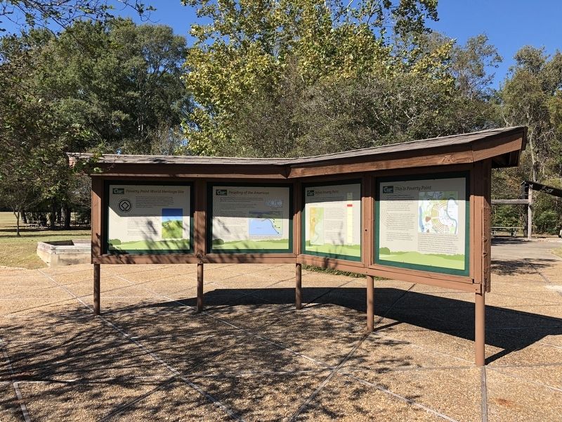
Near Pioneer in West Carroll Parish, Louisiana — The American South (West South Central)
This is Poverty Point
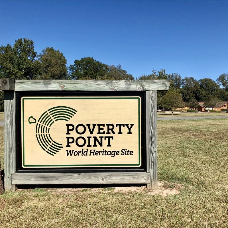
— Poverty Point World Heritage Site —
The Poverty Point earthwork complex is a monumental achievement worthy of celebration. It was built and occupied from about 1700 BC to 1100 BC. This site is often considered to be the "New York City" of its day because it appears to have been so much more elaborate and sophisticated than anything else that was happening in North America at that time.
This created landscape is unique in the world—there is no other site quite like it. The original design included five earthen mounds (another culture added a sixth mound, Mound D, about 1,800 years after Poverty Point was abandoned), six concentric C-shaped ridges, and a huge inner plaza. Archaeologists estimate that preparing the landscape and building the earthworks may have required moving, basketload by basketload, about 100 million 50-1b. basketloads of soil.
To experience the earthworks, you can enjoy a ranger-guided tram tour, a self-guided driving tour, or a self-guided hiking trail that winds through the earthworks. The on-site archaeologist recommends taking a hike!
Part of what makes Poverty Point so special is the fact that people who made their living through hunting, fishing, and gathering wild foods built these earthworks. For many years, archaeologists did not think that hunter-gatherers could achieve such an amazing accomplishment.The diverse habitats of the Mississippi River floodplain and Macon Ridge provided a variety of foods and other necessary resources. The only material that was not readily available here was stone, a critical resource for people who relied on stone tools. They developed a vast trading network to fulfill that need.
Erected by the State of Louisiana.
Topics. This historical marker is listed in these topic lists: Anthropology & Archaeology • Native Americans • Settlements & Settlers. A significant historical year for this entry is 1700.
Location. 32° 38.151′ N, 91° 24.216′ W. Marker is near Pioneer, Louisiana, in West Carroll Parish. Marker can be reached from Louisiana Route 577, 1.2 miles north of Highway 134. Located near the Poverty Point Heritage Site Museum. Touch for map. Marker is at or near this postal address: 6859 Hwy 577, Pioneer LA 71266, United States of America. Touch for directions.
Other nearby markers. At least 8 other markers are within walking distance of this marker. The Poverty Point Landscape (here, next to this marker); Before Poverty Point (here, next to this marker); The Natural and Cultural Environment (here, next to this marker); Peopling of the Americas (here, next to this marker); Poverty Point Artifacts (here, next to this marker); Poverty Point World Heritage Site (here, next to this marker); After Poverty Point (here, next to this marker); Poverty Point Earthworks (a few steps from this marker). Touch for a list and map of all markers in Pioneer.
Also see . . . Wikipedia article on Poverty Point. (Submitted on November 13, 2017, by Mark Hilton of Montgomery, Alabama.)
Credits. This page was last revised on September 23, 2020. It was originally submitted on November 13, 2017, by Mark Hilton of Montgomery, Alabama. This page has been viewed 223 times since then and 17 times this year. Photos: 1, 2, 3. submitted on November 13, 2017, by Mark Hilton of Montgomery, Alabama.


