Wheaton in Silver Spring in Montgomery County, Maryland — The American Northeast (Mid-Atlantic)
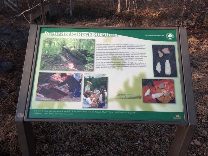
Prehistoric Rock Shelters
Beginning about 1000 B.C., local American Indian tribes used these rock shelters as "prehistoric motels." Although the tribes had adopted agriculture by that time, they supplemented their diet with wild plants and animals. These shelters provided a place to stay while hunting and gathering food.
Discarded tools found near the shelters reflect food-related activities: hunting animals, butchering meat, and gathering edible plants, fruits, berries, nuts and seeds. Typical discarded bones include white-tailed deer, fox, woodchuck, rabbit, squirrel, turtle, snake, fish, turkey, duck, and passenger pigeon. Plant evidence suggests these peoples gathered wild seeds and nuts such as acorn and history, and a variety of tubers.
By A.D. 1607, all these people peoples had been pushed out, leaving Montgomery County a "no man's land," a buffer between southern Maryland Algonquians, northern Iroquois, and western Sioux and Shawnee Indians. Archaeologists have yet to solve the elusive mystery about their origins and fate.
"One way to open your eyes is to ask yourself, "What if I had never seen this before? What if I knew I would never see it again?"
-Rachel Carson, The Sense of Wonder (posthumously 1965)
Erected by Montgomery Parks.
Topics. This historical marker is listed in these topic lists: Anthropology & Archaeology • Native Americans. A significant historical year for this entry is 1607.
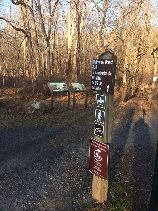
Location. 39° 3.703′ N, 77° 1.568′ W. Marker is in Silver Spring, Maryland, in Montgomery County. It is in Wheaton. Marker is on Kemp Mill Road south of Glenallen Avenue, on the right when traveling north. On the grounds of the Northwest Branch Trail east of Kemp Mill Road. Touch for map. Marker is at or near this postal address: 12439 Kemp Mill Rd, Silver Spring MD 20902, United States of America. Touch for directions.
Other nearby markers. At least 8 other markers are within walking distance of this marker. Mica Mine Ruins (here, next to this marker); Kemp Mill (approx. 0.3 miles away); One Tree's Life (approx. 0.4 miles away); The Harper Family Homestead (approx. 0.4 miles away); What Happened Here? (approx. half a mile away); Conservatory (approx. half a mile away); Formal Gardens (approx. half a mile away); The Tree Trust (approx. half a mile away). Touch for a list and map of all markers in Silver Spring.
Credits. This page was last revised on February 21, 2023. It was originally submitted on November 26, 2017, by Devry Becker Jones of Washington, District of Columbia. This page has been viewed 681 times since then and 78 times this year. Photos: 1, 2. submitted on November 26, 2017, by Devry Becker Jones of Washington, District of Columbia. • Bill Pfingsten was the editor who published this page.

