Lewiston in Nez Perce County, Idaho — The American West (Mountains)
Writings on the River
Petroglyphs
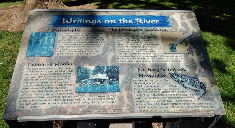
The earliest ‘writings’ along the Snake River were petroglyphs carved into the rocks. At the Buffalo Eddy and Captain John sites, located 20 miles upriver from here, some of the petroglyphs are four to six thousand years old. Many of the carvings depict hunting scenes with bighorn sheep, elk, and deer. The humans are stickman figures with spike-horned headdresses and triangular bodies with bows or hunting atlatls.
Fabulous Floods
This flood along Lewiston’s Maine Street in 1894 was nothing compared to floods of the past. Beginning about 17 million years ago, 40,000 cubic miles of basaltic lava flooded the Columbia basin. This was followed by waters bursting from a ruptured Lake Bonneville in northern Utah (approximately 15 million years ago). Gravels from that flood underlie much of Lewiston. When the ice dam holding back Lake Missoula failed, water shot forth at a rate 10 times the combined flow of all the rivers of the world. When the flood waters hit the narrows of Wallula Gap, about 100 miles west of here, the waters backed up clear to the Lewiston-Clarkston Valley.
The Writingest Explorers
The first English words written along the shores of the Snake River were composed on the night of October 10th, 1805. The men of the Lewis & Clark Expedition, who have been called the “Writingest Expedition,” were faithful journal-keepers. Besides the journals of Captains Lewis and Clark, all of the sergeants were required to keep diaries. Clark wrote from their campsite on the north side of the Snake River that he observed it was “worthey of remark that not one Stick of timber on the river near the forks and but a fiew trees for a great distance up the River we descended.”
Nothing to Imped Navigation
Lewiston’s first newspaper, The Golden Age, published an account in 1862 of an exploration up the Snake River. According to the story, the party of “three reliable men… started from Lewiston… and followed the meanderings of the Snake.” They made it to Fort Boise, then “came dashing, foaming down the wild, tortuous Snake.” The newspaper concluded that “They found nothing in the river to impede navigation.” This claim may be disputed by the generations of steamboat captains, jet boaters, and rafters who have followed.
Erected by Idaho Governor's Lewis & Clark Trail Committee, Lewiston Parks & Recreation.
Topics and series. This historical marker is listed in these topic lists: Exploration • Native Americans • Waterways & Vessels. In addition, it is included in the Lewis & Clark Expedition series list.
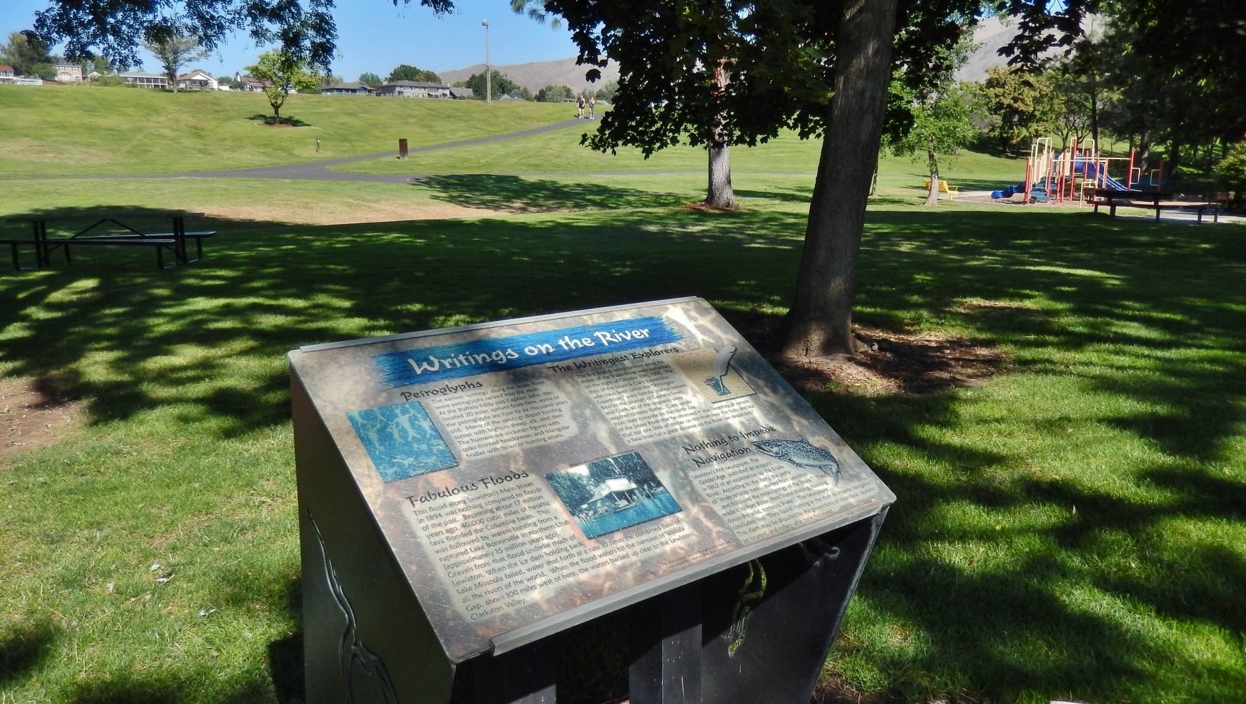
Location. 46° 24.73′ N, 117° 1.995′ W. Marker is in Lewiston, Idaho, in Nez Perce County. Marker is on Snake River Avenue, 0.3 miles south of U.S. 12, on the right when traveling south. Marker is located along the walking trail in Lewiston's Kiwanis Park. Touch for map. Marker is in this post office area: Lewiston ID 83501, United States of America. Touch for directions.
Other nearby markers. At least 8 other markers are within walking distance of this marker. Traveling on the River (here, next to this marker); Fishing in the River (a few steps from this marker); Exploring on the River (within shouting distance of this marker); Dwellings by the River (within shouting distance of this marker); A Confluence of Rivers & Steam (approx. 0.3 miles away); A Man and His Island Dream (approx. 0.3 miles away); Kettenbach Building (approx. 0.7 miles away); Firsts in Lewiston (approx. 0.7 miles away). Touch for a list and map of all markers in Lewiston.
Also see . . .
1. The Lake Bonneville Flood.
Approximately 15,000 years ago Lake Bonneville, a late Pleistocene lake, suddenly discharged an immense volume of water to the north. This flood is thought to be caused by capture of the Bear River which greatly increased the supply of water to the Bonneville Basin. These flood waters flowed over Red Rock Pass in southeastern Idaho and continued westward across the Snake River Plain generally following the path of the present Snake River. (Submitted on November 27, 2017, by Cosmos Mariner of Cape Canaveral, Florida.)
2. Journals of the Lewis & Clark Expedition.
This website makes available the text of the celebrated Nebraska edition of the Lewis and Clark journals, edited by Gary E. Moulton. Moulton's edition—the most accurate and inclusive edition ever published—is one of the major scholarly achievements of the late twentieth century. The site features the full text—almost five thousand pages—of the journals. (Submitted on November 27, 2017, by Cosmos Mariner of Cape Canaveral, Florida.)
Credits. This page was last revised on October 21, 2020. It was originally submitted on November 27, 2017, by Cosmos Mariner of Cape Canaveral, Florida. This page has been viewed 235 times since then and 17 times this year. Photos: 1, 2. submitted on November 27, 2017, by Cosmos Mariner of Cape Canaveral, Florida. • Bill Pfingsten was the editor who published this page.

