Bayou Plaquemine
Plaquemine Lock State Historic Site
— Atchafalaya Water Heritage Trail —
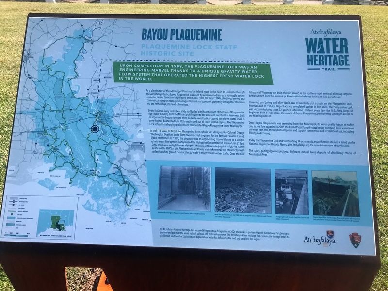
Upon completion in 1909, The Plaquemine Lock was an engineering marvel thanks to the unique gravity of water flow system that operated the highest fresh water lock in the world.
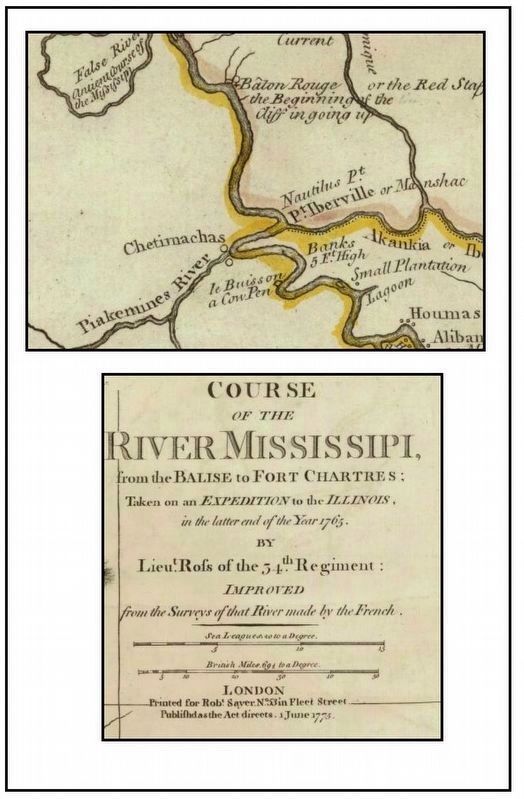
As a distributary of the Mississippi River and an inland route to the heart of Louisiana through the Atchafalaya Basin, Bayou Plaquemine was used by American Indians as a navigable course centuries before European exploration of the area. From the early 1700s, the bayou served as a commercial transport route, promoting settlement and economic prosperity throughout Louisiana via the Atchafalaya, Red and other rivers.
By the 1800s, a lively steamboat trade had fueled significant growth of the town of Plaquemine. But severe flooding from the Mississippi threatened the area, and eventually a levee was built to separate the bayou from the river. As levee construction caused the river’s water level to grow higher, boats needed a lift to get in and out of lower inland bayous. The Plaquemine Lock solved this shipping problem and reconnected Bayou Plaquemine to the Mississippi.
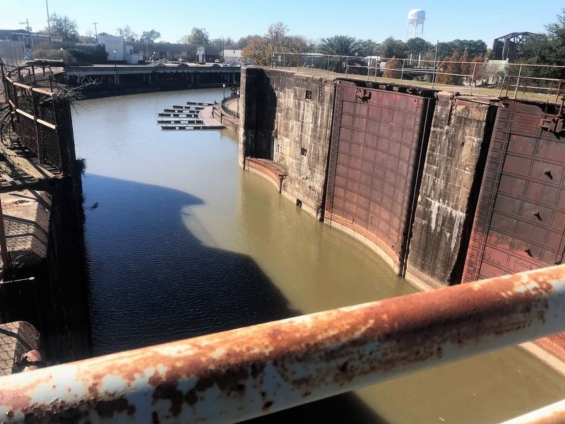
It took 14 years to build the Plaquemine Lock, which was designed by Colonel George Washington Goethals (who later became chief engineer for the famous Panama Canal). Upon completion in 1909, the structure was an engineering marvel thanks to a unique gravity water flow system
that operated the highest fresh water lock in the world at 51 feet. Since there were no lighthouses along the Mississippi River to help guide ships, the “Dutch Castle on the Hill” (as the Plaquemine Lock House was nicknamed) was constructed with reflective white glazed ceramic tiles to make it more visible to river traffic. Once the Gulf Intracoastal Waterway was built, the lock served as the northern-most terminal, allowing cargo to be transported from the Mississippi River to the Atchafalaya Basin and then on to Texas.Increased use during and after World War II eventually put a strain on the Plaquemine Lock, however, and in 1961, a larger lock was completed upriver in Port Allen. The Plaquemine Lock was decommissioned after 52 years of operation. Thirteen years later the U.S. Army Corps of Engineers built a levee across the mouth of Bayou Plaquemine, permanently closing its access to the Mississippi River.
Once Bayou Plaquemine was separated from the Mississippi, its water quality began to suffer due to low flow capacity. In 2006 the Fresh Water Pump Project began pumping fresh water from the river back into the bayou to improve and support commercial and recreational use, including fishing and boating.
Today the Plaquemine Lock and surrounding 14-acre area is a state historic site and is listed on the National Register of Historic Places.
This site’s geology/geomorphology: Holocene natural levee deposits of distributary course of Mississippi River
Erected by State of Louisiana and National Park Service.
Topics and series. This historical marker is listed in these topic lists: Environment • Waterways & Vessels. In addition, it is included in the Atchafalaya Water Heritage Trail series list.
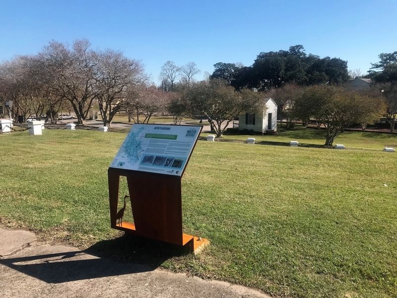
Location. 30° 17.548′ N, 91° 14.074′ W. Marker is in Plaquemine, Louisiana, in Iberville Parish. Marker can be reached from Main Street west of Church Street, on the right when traveling west. Touch for map. Marker is at or near this postal address: 57730 Main Street, Plaquemine LA 70764, United States of America. Touch for directions.
Other nearby markers. At least 8 other markers are within 3 miles of this marker, measured as the crow flies. Gary J. Hebert Memorial Lockhouse (a few steps from this marker); Old City Hall (about 300 feet away, measured in a direct line); Academy of Saint Basil (approx. 0.2 miles away); Plaquemine First United Methodist Church (approx. ¼ mile away); a different marker also named Bayou Plaquemine (approx. 0.3 miles away); Plaquemine Tribe World War 1 Memorial Tablet (approx. 0.3 miles away); a different marker also named Bayou Plaquemine (approx. 2.1 miles away); Morrisonville (approx. 2.3 miles away). Touch for a list and map of all markers in Plaquemine.
Related markers.
Also see . . .
1. Plaquemine Lock State Historic Site. (Submitted on February 6, 2018, by Kenneth Ramagost of Unknown, Louisiana.)
2. LCV Cities Tour - Baton Rouge: Preserving Plaquemine Lock. (Submitted on February 20, 2018, by Kenneth Ramagost of Unknown, Louisiana.)
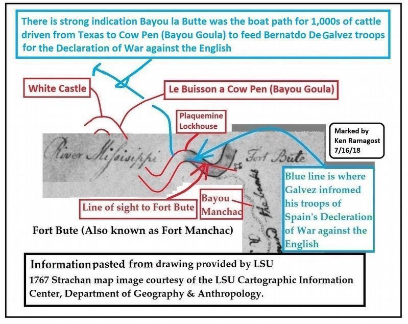
3. Why Maps?. Pictures of Bayou Plaquemine and the Locks. Also Fort Plaquemine in Plaquemine, La. on slide 24 and many other old Iberville Parish pictures. So far this is the only picture of the fort that could be found which is a drawing. After the Plaquemine pictures, next set of slides have White Castle pictures, other towns and Churches, etc. Heartbreaking to see several blocks of grand houses and mansions a few feet south of the bayou in Plaquemine disappear into the Mississippi River. (Submitted on April 30, 2018, by Kenneth Ramagost of Unknown, Louisiana.)
Credits. This page was last revised on November 23, 2023. It was originally submitted on December 9, 2017, by Cajun Scrambler of Assumption, Louisiana. This page has been viewed 1,049 times since then and 62 times this year. Photos: 1, 2. submitted on December 9, 2017. 3. submitted on January 3, 2019, by Kenneth Ramagost of Unknown, Louisiana. 4. submitted on December 9, 2017. 5. submitted on August 3, 2018, by Kenneth Ramagost of Unknown, Louisiana.
