Near La Grande in Union County, Oregon — The American West (Northwest)
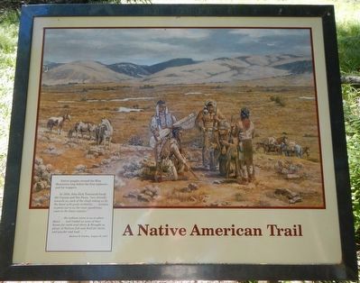
A Native American Trail
In 1834, John Kirk Townsend found the Cayuse and Nez Perce, very friendly towards us, each of the chiefs taking us by the hand with great cordiality,... anxious to point out to us the most expeditious route to the lower country."
"... the indians came to us in abundance ... and traded us some of their horses for cattle and shirts & Brought us plenty of Salmon fish and Sold for shirts and powder and lead...." -- Abalsom B. Harden, August 30, 1847
Erected by Wallow Whitman National Forest.
Topics and series. This historical marker is listed in these topic lists: Native Americans • Roads & Vehicles • Settlements & Settlers. In addition, it is included in the Oregon Trail series list.
Location. 45° 23.908′ N, 118° 18.882′ W. Marker is near La Grande, Oregon, in Union County. Marker can be reached from Unnamed Road (Oregon Trail Road 1843?) near Old Emigrant Hill Scenic Frontage Road. Touch for map. Marker is in this post office area: La Grande OR 97850, United States of America. Touch for directions.
Other nearby markers. At least 8 other markers are within 8 miles of this marker, measured as the crow flies. Wagon Wheels to Automobiles (within shouting distance of this marker); A Beautiful Rough Road (about 500 feet away, measured in a direct line); Parade of Survivors (about 600 feet away); On This Ridge... (about 600 feet away); Hilgard Junction Oregon Trail Kiosk (approx. 5˝ miles away); "Wagons East " 1975-1976 (approx. 5˝ miles away); Highway US30 and Perry, Oregon (approx. 7.7 miles away); Conde B. McCullough and Upper Perry Arch Bridge (approx. 7.7 miles away). Touch for a list and map of all markers in La Grande.
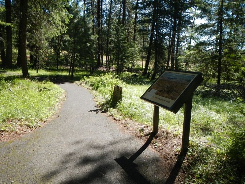
More about this marker. This marker is on the Blue Mountain Crossing Interpretive Trail at Blue Mountain Interpretive Park. To reach the park leave Interstate 84 at Exit 248 and take Old Emigrant Hill Scenic Frontage Road for about 3/4 mile, passing under the freeway, then turn right on the unnamed road. Proceed about 2.5 miles to the parking lot at the end of the road.
Credits. This page was last revised on December 23, 2017. It was originally submitted on December 14, 2017, by Barry Swackhamer of Brentwood, California. This page has been viewed 219 times since then and 19 times this year. Photos: 1, 2. submitted on December 14, 2017, by Barry Swackhamer of Brentwood, California.

