Mobridge in Walworth County, South Dakota — The American Midwest (Upper Plains)
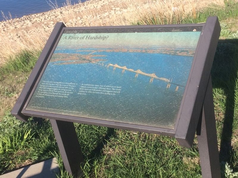
River of Hardship
This wide, low moving, Missouri River of today is quite different from when the Corps of Discovery navigated in then torrent waters in 1804. Lewis and Clark fought against the strong current, using ropes to pull the boat upstream. By the time the expedition passed through here by the fall of 1804 the surging spring and summer flows and receded.
Six hydroelectric dams, four of which are in South Dakota, control today's Missouri River. The results of the dams are both positive and negative and will continue to affect the water flow as long as the dams exist.
Erected by Lewis and Clark National Historic Trail.
Topics and series. This historical marker is listed in these topic lists: Exploration • Man-Made Features • Waterways & Vessels. In addition, it is included in the Lewis & Clark Expedition series list.
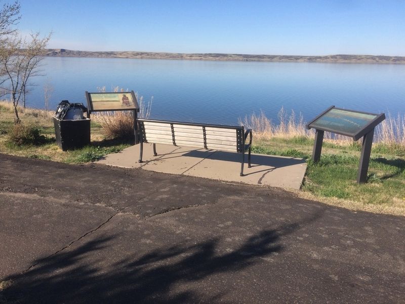
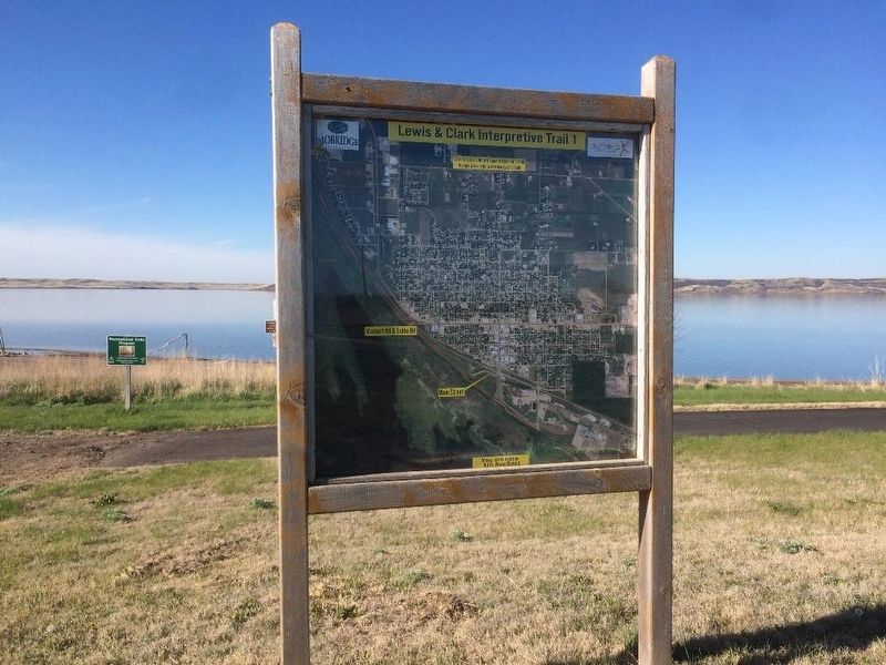
Location. 45° 32.674′ N, 100° 27.32′ W. Marker is in Mobridge, South Dakota, in Walworth County. Marker can be reached from Marker is on Lewis & Clark Interpretive Trail 1, 0.6 miles 20th Street W. Park at the corner of 20th Street W. and W. Railway Street. Walk down the trail .6 miles to the markers. Touch for map. Marker is in this post office area: Mobridge SD 57601, United States of America. Touch for directions.
Other nearby markers. At least 8 other markers are within walking distance of this marker. Lewis & Clark meet the Arikaras (here, next to this marker); History Beneath the Waters (approx. 0.4 miles away); "MO.Bridge" (approx. 0.4 miles away); "Fool Soldier Band" (approx. half a mile away); Mobridge Bridge (approx. half a mile away); Lewis & Clark (approx. half a mile away); Pierre Choteau (approx. half a mile away); Ensign Nathaniel Pryor (approx. half a mile away). Touch for a list and map of all markers in Mobridge.
Credits. This page was last revised on January 2, 2018. It was originally submitted on January 1, 2018, by Ruth VanSteenwyk of Aberdeen, South Dakota. This page has been viewed 184 times since then and 15 times this year. Photos: 1, 2, 3. submitted on January 1, 2018, by Ruth VanSteenwyk of Aberdeen, South Dakota. • Bill Pfingsten was the editor who published this page.


