Scappoose in Columbia County, Oregon — The American West (Northwest)
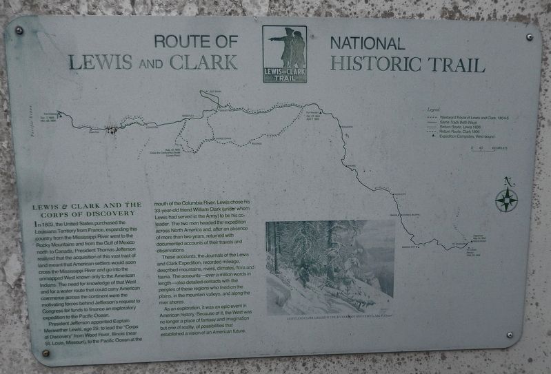
Route of Lewis and Clark National Historic Trail
Inscription.
Lewis & Clark and the Corps of Discovery
In 1803, the United States purchased the Louisiana Territory from France, expanding this country from the Mississippi River west to the Rocky Mountains and from the Gulf of Mexico north to Canada. President Thomas Jefferson realized that the acquisition of this vast tract of land meant that American settlers would soon cross the Mississippi River and go into the unmapped West known only to the American Indians. The need for knowledge of that West and for a water route that could carry American commerce across the continent were the motivating forces behind Jefferson's request to Congress for funds to finance an exploratory expedition to the Pacific Ocean.
President Jefferson appointed Captain Meriwether Lewis, age 29, to lead the "Corps of Discovery” from Wood River, Illinois (near St. Louis, Missouri) to the Pacific Ocean at the mouth of the Columbia River. Lewis chose his 33-year-old friend William Clark (under whom Lewis had served in the Army) to be his co-leader. The two men headed the expedition across North America and, after an absence of more than two years, returned with documented accounts of their travels and observations.
These accounts, the Journals of the Lewis and Clark Expedition, recorded mileage, described mountains, rivers, climates, flora and fauna. The accounts – over a million words in length – also detailed contacts with the peoples of these regions who lived on the plains, in the mountain valleys, and along the river shores.
As an exploration, it was an epic event in American history. Because of it, the West was no longer a place of fantasy and imagination but one of reality, of possibilities that established a vision of an American future.
Erected by Lewis and Clark National Historic Trail.
Topics and series. This historical marker is listed in these topic lists: Exploration • Native Americans • Waterways & Vessels. In addition, it is included in the Former U.S. Presidents: #03 Thomas Jefferson, and the Lewis & Clark Expedition series lists.
Location. 45° 44.897′ N, 122° 52.648′ W. Marker is in Scappoose, Oregon, in Columbia County. Marker is at the intersection of Columbia River Highway (U.S. 30) and SW Old Portland Road, on the left when traveling north on Columbia River Highway. Marker is located in a small plaza on the west side of the highway, across the highway from Scappoose High School. Touch for map. Marker is at or near this postal address: 51891 SW Old Portland Road, Scappoose OR 97056, United States of America. Touch for directions.
Other nearby markers. At least 8 other markers are within 9 miles of this
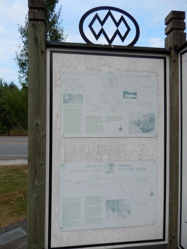
marker, measured as the crow flies. Lewis and Clark on the Columbia (here, next to this marker); History of Scappoose (here, next to this marker); Thomas McKay (a few steps from this marker); Fort William (approx. 5.6 miles away); a different marker also named Fort William (approx. 5.6 miles away); Lewis & Clark Discovery Trail (approx. 8.8 miles away); down the trodden path... (approx. 8.8 miles away); Warrior Rock Fog Bell (approx. 8.9 miles away). Touch for a list and map of all markers in Scappoose.
Related markers. Click here for a list of markers that are related to this marker.
Also see . . . Lewis and Clark National Historic Trail.
The Lewis and Clark National Historic Trail is a route across the United States commemorating the Lewis and Clark Expedition of 1804 to 1806. It is part of the National Trails System of the United States. It extends for some 3,700 miles (6,000 km) from Wood River, Illinois, to the mouth of the Columbia River in Oregon. (Submitted on January 22, 2018, by Cosmos Mariner of Cape Canaveral, Florida.)
Credits. This page was last revised on January 23, 2018. It was originally submitted on January 21, 2018, by Cosmos Mariner of Cape Canaveral, Florida. This page has been viewed 299 times since then and 21 times this year. Photos: 1. submitted on January 21, 2018, by Cosmos Mariner of Cape Canaveral, Florida. 2. submitted on January 22, 2018, by Cosmos Mariner of Cape Canaveral, Florida. • Bill Pfingsten was the editor who published this page.

