Astoria in Clatsop County, Oregon — The American West (Northwest)
Into the Unknown
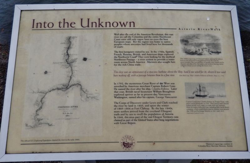
Well after the end of the American Revolution, this vast river we call the Columbia and the entire Northwest Coast were still only vague lines on even the best European maps. But the region was home to native peoples whose ancestors had lived here for thousands of years.
The first foreigners visited by sea. In the 1700s, Spanish, French, Russian, British, and American ships explored the Northwest Coast. They were looking for the mythical Northwest Passage — a river system to provide a water route across North America. Mariners also sought furs for the rich China trade.
This day saw an appearance of a spacious harbour abrest the Ship, haul'd our wind for itt, observ'd two sand bars making off, with a passage between them to a fine river.
John Boit’s Log, Ship Columbia Rediviva of Boston, May 11, 1792
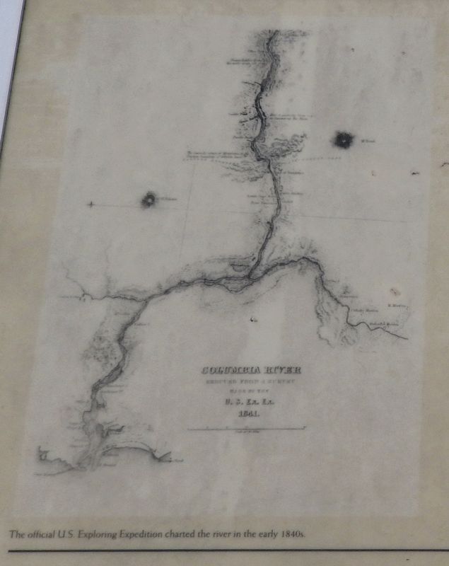
In 1792, the mysterious Great River of the West was unveiled by American merchant Captain Robert Gray. He named the river after his ship, Columbia Rediviva. Later that year, British naval lieutenant William Broughton explored upriver as far as present-day Vancouver, Washington, named after his captain, George Vancouver.
The Corps of Discovery under Lewis and Clark reached the river by land in 1805, and spent the winter of 1805-1806 at Fort Clatsop. By the late 1840s, more settlers arrived from the overland (Oregon) trails and by sea to swell the population of Astoria. In 1846, this area – part of the vast Oregon Territory – was claimed as part of the United States after long negotiations with Great Britain.
Erected by City of Astoria.
Topics and series. This historical marker is listed in these topic lists: Exploration • Native Americans • Settlements & Settlers • Waterways & Vessels. In addition, it is included in the Lewis & Clark Expedition series list. A significant historical year for this entry is 1792.
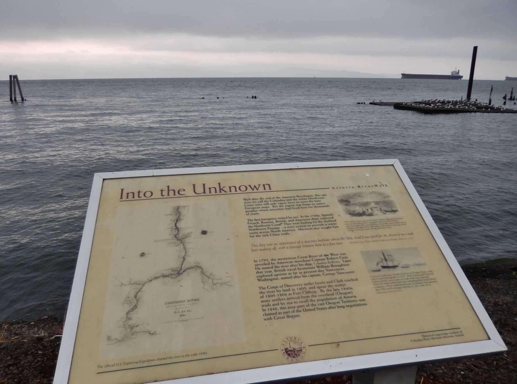
Location. 46° 11.38′ N, 123° 49.6′ W. Marker is in Astoria, Oregon, in Clatsop County. Marker can be reached from East Columbia River Highway (U.S. 30) east of 15th Street, on the left when traveling east. Marker is located along the Astoria Riverwalk, north of the highway, overlooking the Columbia River, east of 15th Street. Touch for map. Marker is in this post office area: Astoria OR 97103, United States of America. Touch for directions.
Other nearby markers. At least 8 other markers are within walking distance of this marker. A Waterfront at Work (within shouting distance of this marker); A Great Artery of Transportation (about 400 feet away, measured in a direct line); 14th Street Ferry Slip (about 500 feet away); Gimre's Shoe Store (about 500 feet away); Fort Astoria
(about 600 feet away); Ranald MacDonald (about 600 feet away); Site of Original Settlement of Astoria (about 600 feet away); Columbia River Tugs And Towboats (about 600 feet away). Touch for a list and map of all markers in Astoria.
Also see . . .
1. Clatsop Indians. Lewis & Clark: The Journey of the Corps of Discovery- Ken Burns film at PBS:
In 1805, the northwest tip of what is now Oregon was inhabited by the Clatsop Indians. The tribe consisted of about four hundred people, and occupied three villages on the southern side of the Columbia river. Like their neighbors, the Chinooks, the Clatsops were a flourishing people, and enjoyed plentiful amounts of fish and fur. They had few enemies, and fought few wars. (Submitted on January 25, 2018, by Cosmos Mariner of Cape Canaveral, Florida.)
2. Gray's Ship: The Columbia Rediviva. Discovering Lewis & Clark website entry:
A description of the oceangoing ship Columbia Rediviva, that Robert Gray sailed from Boston, around the horn of South America, and north along the Pacific Coast to the mouth of the Great River of the West, in 1792. (Submitted on January 25, 2018, by Cosmos Mariner of Cape Canaveral, Florida.)
Photographed By Cosmos Mariner, July 8, 2015
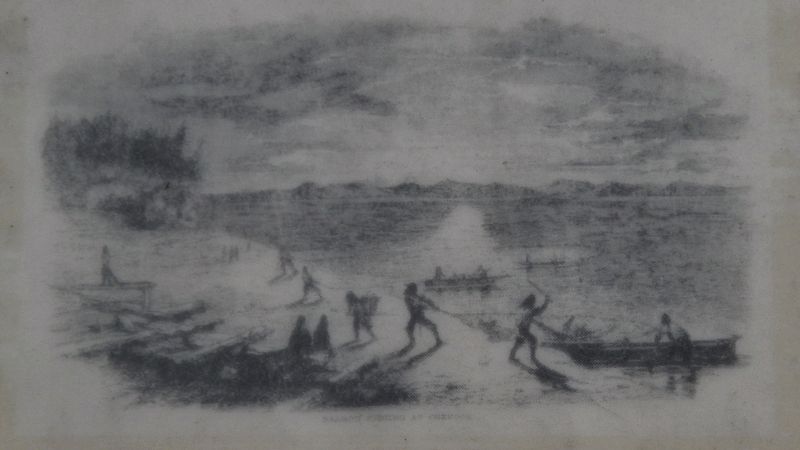
3. Marker detail: 1850s engraving of Chinook Indians
This 1850s engraving of Chinook Indians seining for salmon hints at the bountiful living gathered from the river by native peoples. But vast numbers of people were wiped out by diseases introduced by fur traders and settlers, leaving native cultures a lesser power along the lower river.
Photographed By Cosmos Mariner, July 8, 2015
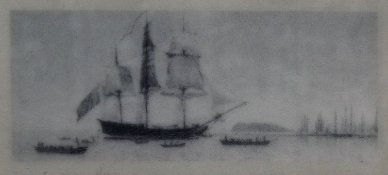
4. Marker detail: the Columbia Rediviva
Captain Gray’s ship Columbia Rediviva at Tongue Point, with native canoes alongside, in 1792.
The Clatsop and Chinook Indian people were eager to trade with new partners.
More fur traders followed Gray, including John Jacob Astor’s company, which established a post at Astoria (near present day 15th and Exchange Streets) in 1811 and 1812.
Credits. This page was last revised on April 10, 2021. It was originally submitted on January 24, 2018, by Cosmos Mariner of Cape Canaveral, Florida. This page has been viewed 265 times since then and 30 times this year. Photos: 1. submitted on January 24, 2018, by Cosmos Mariner of Cape Canaveral, Florida. 2, 3, 4, 5. submitted on January 25, 2018, by Cosmos Mariner of Cape Canaveral, Florida. • Bill Pfingsten was the editor who published this page.
