Astoria in Clatsop County, Oregon — The American West (Northwest)
Harvesting River & Sea
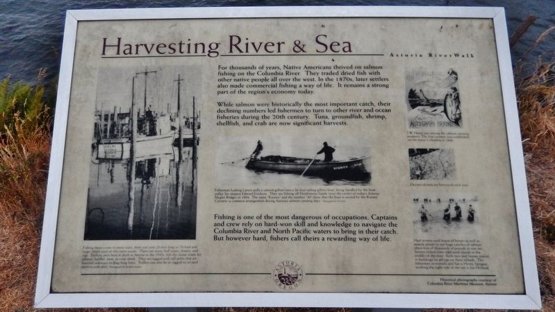
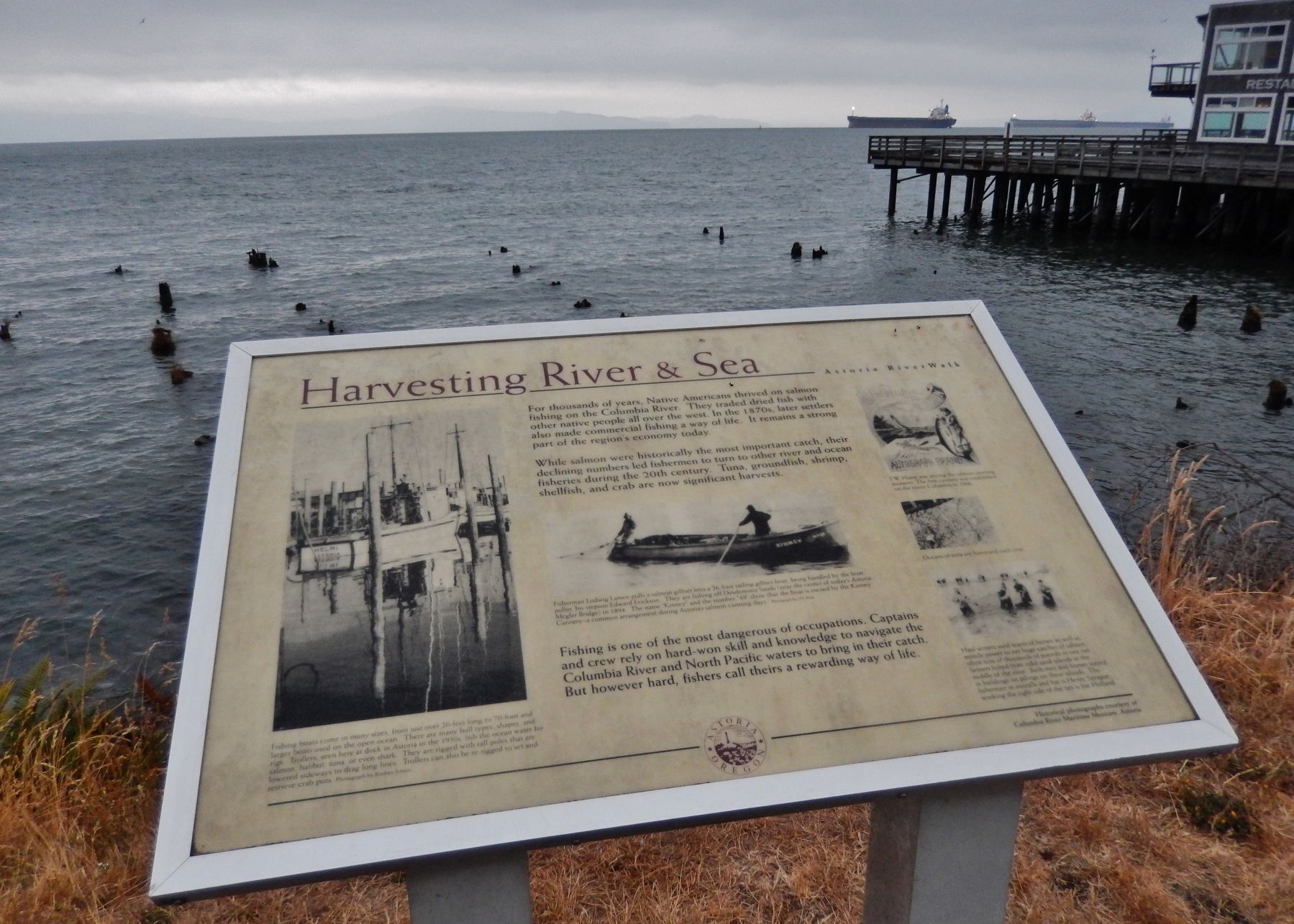
For thousands of years, Native Americans thrived on salmon fishing on the Columbia River. They traded dried fish with other native people all over the west. In the 1870s, later settlers also made commercial fishing a way of life. It remains a strong part of the region's economy today.
While salmon were historically the most important catch, their declining numbers led fishermen to turn to other river and ocean fisheries during the 20th century. Tuna, groundfish, shrimp, shellfish, and crab are now significant harvests.
Fishing is one of the most dangerous of occupations. Captains and crew rely on hard-won skill and knowledge to navigate the Columbia River and North Pacific waters to bring in their catch. But however hard, fishers call theirs a rewarding way of life.
Erected by City of Astoria.
Topics. This historical marker is listed in these topic lists: Industry & Commerce • Native Americans • Waterways & Vessels.
Location. 46° 11.42′ N, 123° 49.864′ W. Marker is in Astoria, Oregon, in Clatsop County. Marker can be reached from East Columbia River Highway (U.S. 30) east of 11th Street, on the left when traveling east. Marker is located along the Astoria Riverwalk, north of the highway, overlooking the Columbia River, east of 11th Street. Touch for map. Marker is in this post office area: Astoria OR 97103, United States of America. Touch for directions.
Other nearby markers. At least 8 other markers are within walking distance of this marker. At Play on the River (a few steps from this marker); Pilots on the Columbia River (about 500 feet away, measured in a direct line); Columbia River Tugs And Towboats (about 500 feet away); 14th Street Ferry Slip (about 600 feet away); Crossroads of Cultures (about 600 feet away); Gimre's Shoe Store (about 700 feet away); Clark Gable (approx. 0.2 miles away); Into the Unknown (approx. 0.2 miles away). Touch for a list and map of all markers in Astoria.
Also see . . . Columbia River Commercial Fishermen.
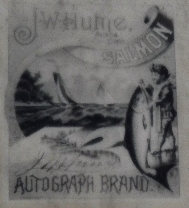
The Columbia River non-Indian commercial salmon fishery traces its roots back to the mid-19th century. Following the development of the salmon canning process, Columbia River salmon were introduced to a growing world market. The first Columbia River cannery was operated by the Hume family at Eagle Cliff, Wahkiakum County, Washington, in 1866. At the height of the salmon canning boom, there were 38 canneries on the lower Columbia River, 22 of which were in Astoria alone. But, following the boom-and-bust pattern typical of 19th century extractive industries, the cannery system was dramatically over-capitalized and excessively wasteful. (Submitted on January 25, 2018, by Cosmos Mariner of Cape Canaveral, Florida.)
Photographed By Cosmos Mariner, July 8, 2015
2. Marker detail: Troller
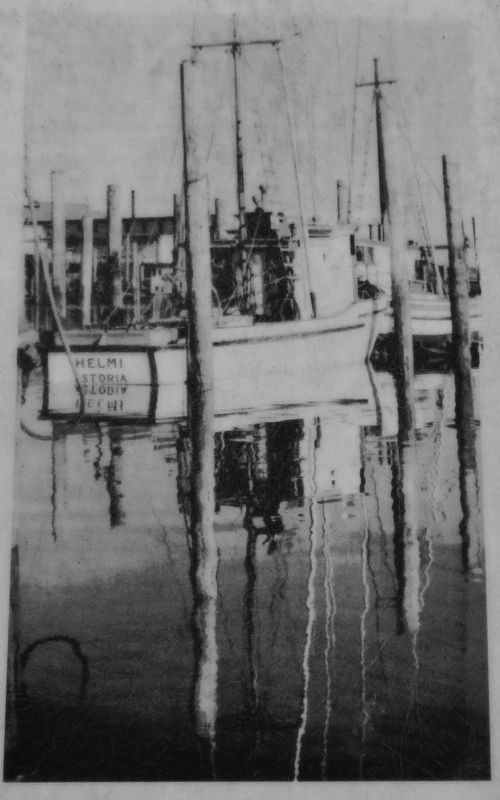
Fishing boats come in many sizes, from just over 20 feet long to 70-foot and larger boats used on the open ocean.
There are many hull types, shapes, and rigs.
Trollers, seen here at dock in Astoria in the 1950s, fish the ocean water for salmon, halibut, tuna, or even shark.
They are rigged with tall poles that are lowered sideways to drag long lines. Trollers can also be re-rigged to set and retrieve crab pots.
Photographed By Cosmos Mariner, July 8, 2015
3. Marker detail: Fishermen
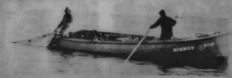
Fisherman Ludwig Larsen pulls a salmon gillnet into a 26-foot sailing gillnet boat, being handled by the boat-puller, his stepson Edward Erickson.
They are fishing off Desdemona Sands (near the center of today's Astoria-Megier Bndge) in 1894.
The name “Kinney” and the number “49” show that the boat is owned by the Kinney Cannery – a common arrangement during Astoria’s salmon–canning days.
Photographed By Cosmos Mariner, July 8, 2015
5. Marker detail: Salmon seining
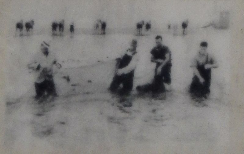
Haul seiners used teams of horses as well as muscle power to net huge catches of salmon, often tens of thousands of pounds in one net.
Seiners fished from tidal sand islands in the middle of the river.
Both men and horses stayed in buildings on pilings on those islands.
The fisherman in overalls and a hat is Henry Sprague; working the right side of the net is Joe Holland.
Credits. This page was last revised on August 5, 2021. It was originally submitted on January 24, 2018, by Cosmos Mariner of Cape Canaveral, Florida. This page has been viewed 191 times since then and 10 times this year. Photos: 1. submitted on January 24, 2018, by Cosmos Mariner of Cape Canaveral, Florida. 2, 3, 4, 5, 6. submitted on January 25, 2018, by Cosmos Mariner of Cape Canaveral, Florida. • Bill Pfingsten was the editor who published this page.
