Fort Rock in Lake County, Oregon — The American West (Northwest)
Fort Rock
Oregon Geology and History
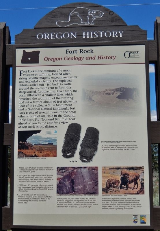
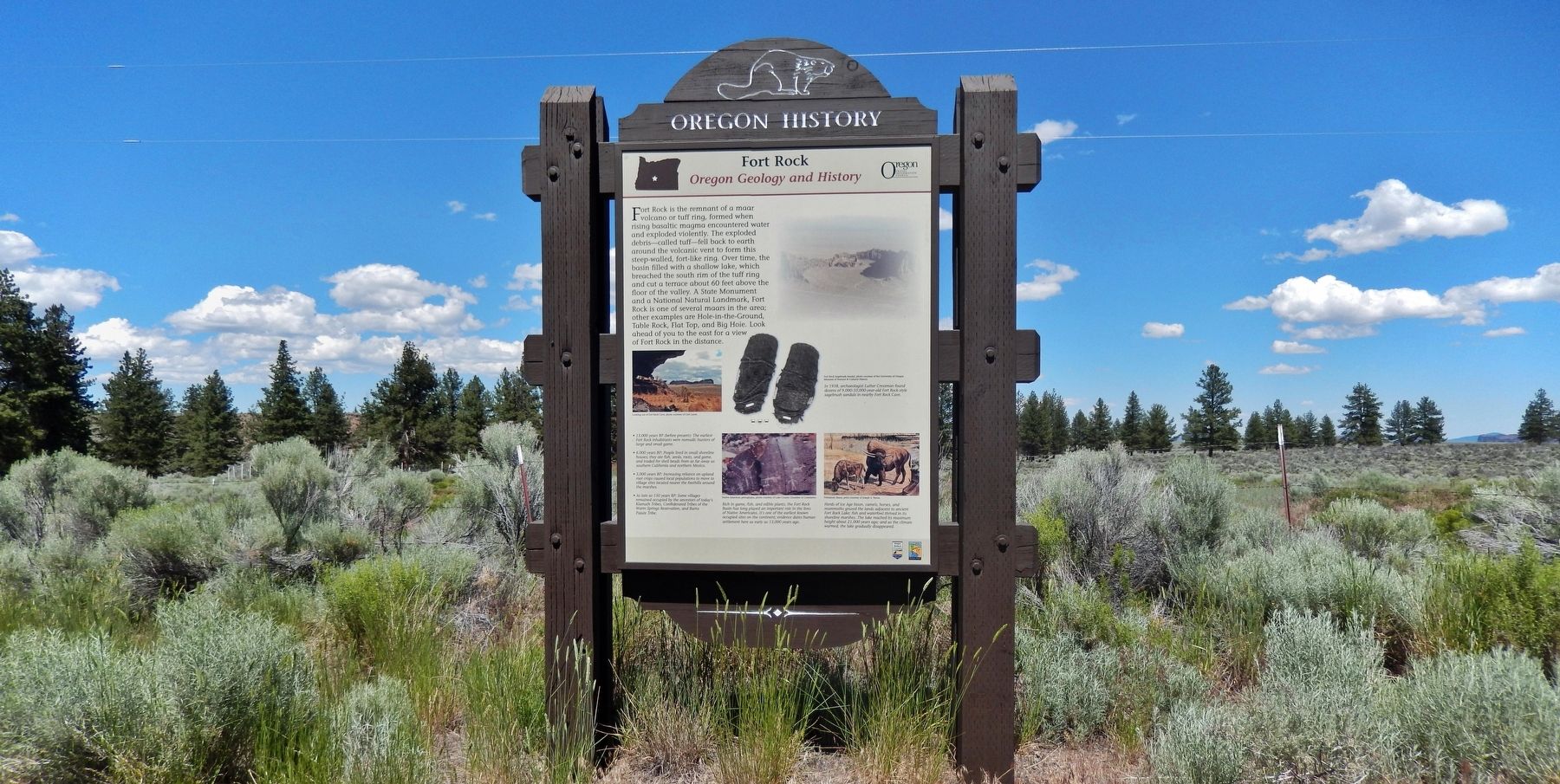
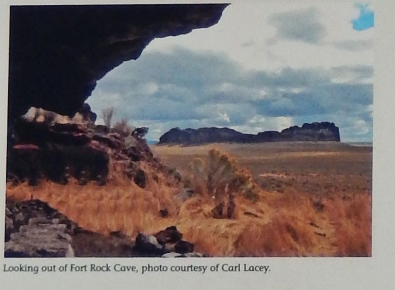
Fort Rock is the remnant of a maar volcano or tuff ring, formed when rising basaltic magma encountered water and exploded violently. The exploded debris – called tuff – fell back to earth around the volcanic vent to form this steep-walled, fort-like ring. Over time, the basin filled with a shallow lake, which breached the south rim of the tuff ring and cut a terrace about 60 feet above the floor of the valley. A State Monument and a National Natural Landmark, Fort Rock is one of several maars in the area; other examples are Hole-in-the-Ground, Table Rock, Flat Top, and Big Hole. Look ahead of you to the east for a view of Fort Rock in the distance.
Erected by State of Oregon.
Topics and series. This historical marker is listed in these topic lists: Animals • Native Americans • Natural Features. In addition, it is included in the Oregon Beaver Boards series list.
Location. 43° 21.33′ N, 121° 10.866′ W. Marker is in Fort Rock, Oregon, in Lake County. Marker is on Oregon Route 31 south of Old Fort Rock Road, on the left when traveling south. Marker is located in a pull-out on the east side of the highway, overlooking Fort Rock in the distance. Touch for map. Marker is at or near this postal address: 74543 Oregon Highway 31, Fort Rock OR 97735, United States of America. Touch for directions.
Other nearby markers. At least 8 other markers are within 7 miles of this marker, measured as the crow flies. Reuban A. "Reub" Long (approx. 5.9 miles away); a different marker also named Fort Rock (approx. 5.9 miles away); Fort Rock State Park (approx. 5.9 miles away); Cowboy, Horseman, Philosopher (approx. 5.9 miles away); The First People of Fort Rock (approx. 5.9 miles away); The Birth of a Tuff Ring (approx. 5.9 miles away); Home Sweet Home (approx. 6.2 miles away); Claiming the Desert (approx. 6.2 miles away). Touch for a list and map of all markers in Fort Rock.
Photographed By Cosmos Mariner, June 27, 2016
2. Marker detail: View from Fort Rock Cave
• 13,000 years BP (before present): The earliest Fort Rock inhabitants were nomadic hunters of large and small game.
• 6,000 years BP: People lived in small shoreline houses; they ate fish, seeds, roots, and game, and traded for shell beads from as far away as southern California and northern Mexico.
• 3,000 years BP: Increasing reliance on upland root crops caused local populations to move to village sites located nearer the foothills around the marshes.
• As late as 150 years BP: Some villages remained occupied by the ancestors of today's Klamath Tribes, Confederated Tribes of the Warm Springs Reservation, and Burns Paiute Tribe.
Photographed By Cosmos Mariner, June 27, 2016
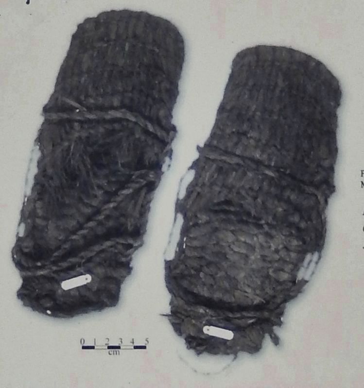
3. Marker detail: Fort Rock Sagebrush Sandals
Fort Rock Sagebrush Sandal, photo courtesy of the University of Oregon Museum of Natural & Cultural History.
In 1938, archaeologist Luther Cressman found dozens of 9,000-10,000-year-old Fort Rock-style sagebrush sandals in nearby Fort Rock Cave.
In 1938, archaeologist Luther Cressman found dozens of 9,000-10,000-year-old Fort Rock-style sagebrush sandals in nearby Fort Rock Cave.
Photographed By Cosmos Mariner, June 27, 2016
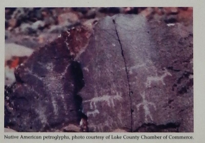
4. Marker detail: Petroglyphs
Rich in game, fish, and edible plants, the Fort Rock Basin has long played an important role in the lives of Native Americans. It's one of the earliest known occupied sites on the continent; evidence dates human settlement here as early as 13,000 years ago.
Photographed By Cosmos Mariner, June 27, 2016
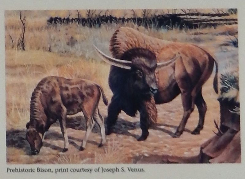
5. Marker detail: Ice Age Bison
Herds of Ice Age bison, camels, horses, and mammoths grazed the lands adjacent to ancient Fort Rock Lake; fish and waterfowl thrived in its shoreline marshes. The lake reached its maximum height about 21,000 years ago; and as the climate warmed, the lake gradually disappeared.
Credits. This page was last revised on October 19, 2020. It was originally submitted on February 2, 2018, by Cosmos Mariner of Cape Canaveral, Florida. This page has been viewed 266 times since then and 46 times this year. Photos: 1, 2, 3, 4, 5, 6. submitted on February 2, 2018, by Cosmos Mariner of Cape Canaveral, Florida. • Andrew Ruppenstein was the editor who published this page.
