Columbus in Muscogee County, Georgia — The American South (South Atlantic)
Creek Agriculture
— Creek Heritage Trail —
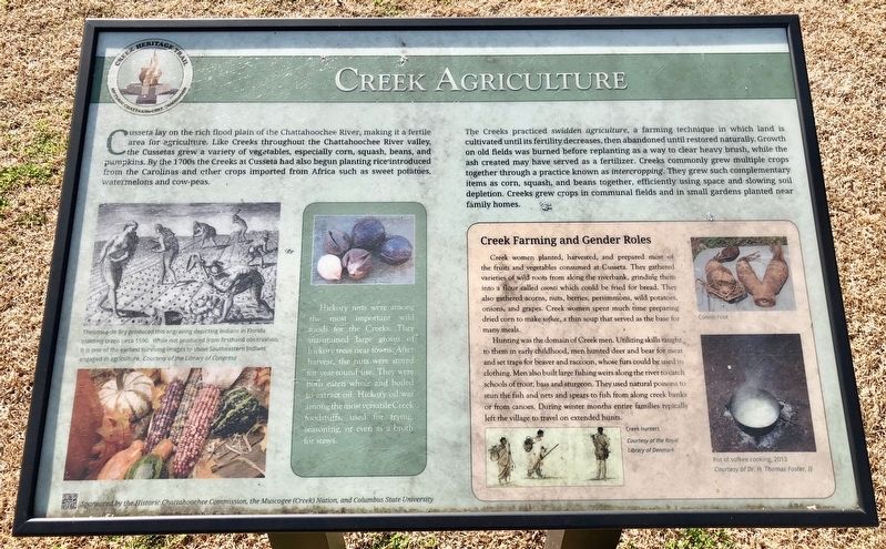
The Creeks practiced swidden agriculture, a farming technique in which land is cultivated until its fertility decreases, then abandoned until restored naturally. Growth on old fields was burned before replanting as a way to clear heavy brush, while the ash created may have served as a fertilizer. Creeks commonly grew multiple crops together through a practice known as intercropping. They grew such complementary items as corn, squash, and beans together, efficiently using space and slowing soil depletion. Creeks grew crops in communal fields and in small gardens planted near family homes.
Inset
Creek Farming and Gender Roles
Creek women planted, harvested, and prepared most of the fruits and vegetables consumed at Cusseta. They gathered varieties of wild roots from along the riverbank, grinding them into a flour called coonti which could be fried for bread. They also gathered acorns, nuts, berries, persimmons, wild potatoes, onions, and grapes. Creek women spent much time preparing dried corn to make sofkee, a thin soup that served as the base for many meals.
Hunting was the domain of Creek men. Utilizing skills taught to them in early childhood, men hunted deer and bear for meat and set traps for beaver and raccoon, whose furs could be used in clothing. Men also built large fishing weirs along the river to catch schools of trout, bass and sturgeon. They used natural poisons to stun the fish and nets and spears to fish from along creek banks or from canoes. During winter months entire families typically left the village to travel on extended hunts.
Photo captions
Left photos Theodore de Bry produced this engraving depicting Indians in Florida planting crops circa 1590. While not produced from firsthand observation, it is one of the earliest surviving images to show Southeastern Indians engaged in agriculture.
Middle Hickory nuts were among the most important wild foods for the Creeks. They maintained large groves of hickory trees near towns. After harvest, the nuts were stored for year-round use. They were both eaten whole and boiled to extract oil. Hickory oil was among the most versatile Creek foodstuffs, used for frying, seasoning, or even as a broth for stews. '
Erected 2014 by the Historic Chattahoochee Commission, the Muscogee (Creek) Nation and Columbia State University.
Topics. This historical marker is listed in these topic lists: Agriculture • Native Americans. A significant historical year for this entry is 1590.
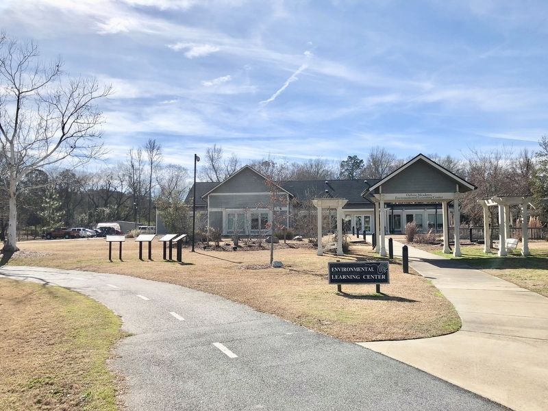
Location. 32° 23.195′ N, 84° 57.52′ W. Marker is in Columbus, Georgia, in Muscogee County. Marker can be reached from South Lumpkin Road, on the right when traveling south. Located in front of the Oxbow Meadows Environmental Learning Center. Touch for map. Marker is at or near this postal address: 3535 South Lumpkin Road, Columbus GA 31903, United States of America. Touch for directions.
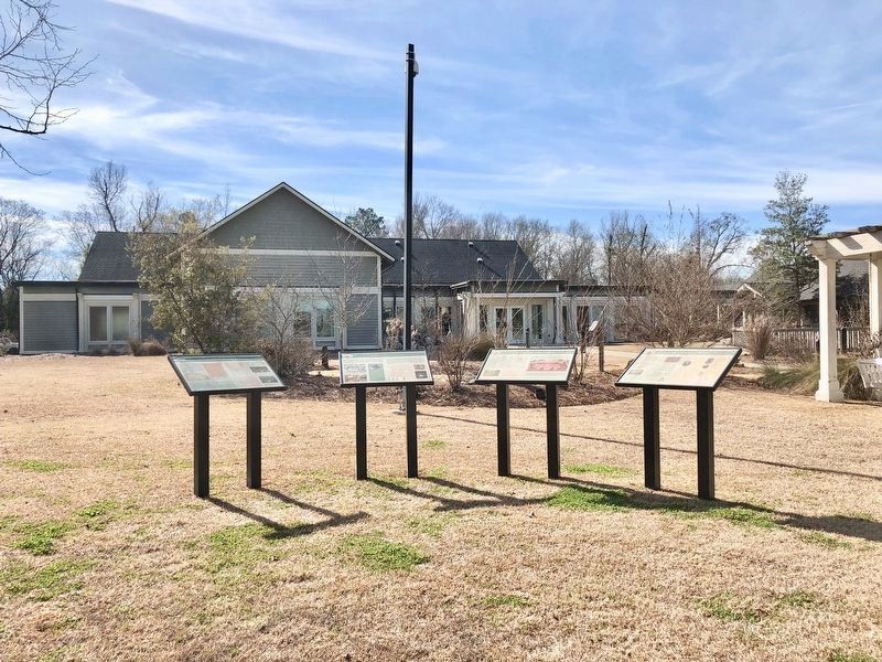
Other nearby markers. At least 8 other markers are within walking distance of this marker. The Creek Town of Cusseta (here, next to this marker); Daily Life in Cusseta (here, next to this marker); Cusseta: A Center for International Diplomacy (here, next to this marker); The "Chattahoochee Choo Choo" (approx. 0.2 miles away); Dedicated to the American Revolutionary War Infantryman (approx. ¼ mile away); 70th Infantry Div. (approx. ¼ mile away); Operation Just Cause (approx. ¼ mile away); World Trade Center Beam Memorial (approx. ¼ mile away). Touch for a list and map of all markers in Columbus.
Credits. This page was last revised on February 4, 2018. It was originally submitted on February 4, 2018, by Mark Hilton of Montgomery, Alabama. This page has been viewed 827 times since then and 115 times this year. Photos: 1, 2, 3. submitted on February 4, 2018, by Mark Hilton of Montgomery, Alabama.


