Coos Bay in Coos County, Oregon — The American West (Northwest)
Transportation
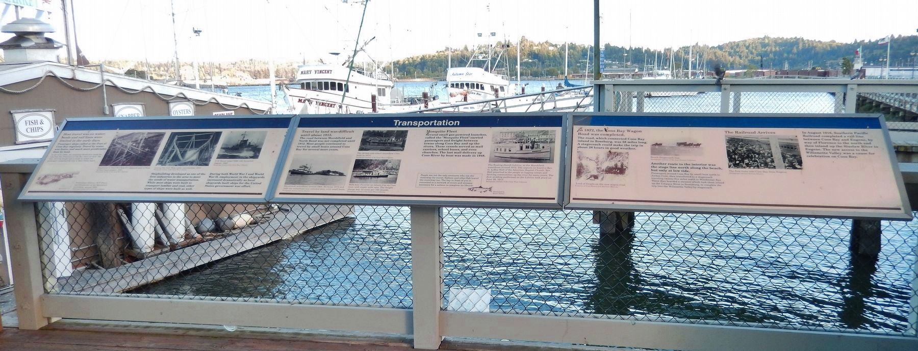
(center panel)
Travel by land was difficult until about 1915.
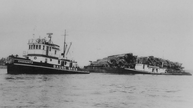
The road between Marshfield and North Bend was not completed until 1912. Most people continued to travel by small boats around Coos Bay for several more years.
Mosquito Fleet
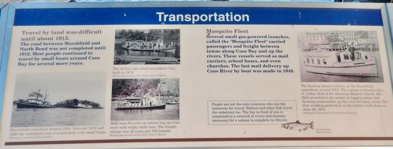
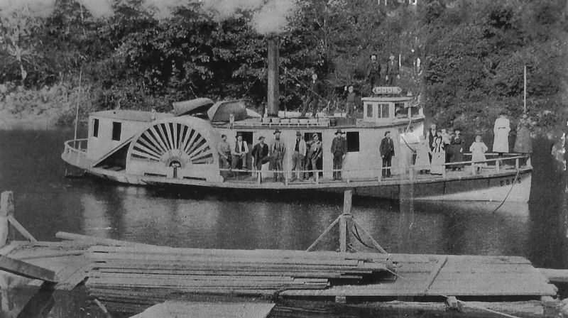
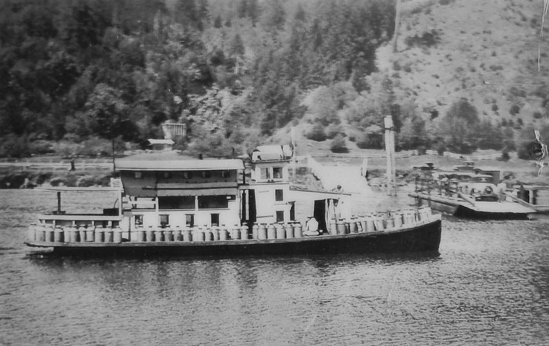
Several small gas-powered launches, called the "Mosquito Fleet" carried passengers and freight between towns along Coos Bay and up the rivers. These vessels served as mail carriers, school buses, and even churches. The last mail delivery up Coos River by boat was made in 1948.
People are not the only creatures who use the waterway for travel. Salmon and other fish travel the waterway too. The bay in front of you is connected to a network of rivers and streams necessary for a salmon to complete its lifecycle.
Topics. This historical marker is listed in these topic lists: Industry & Commerce • Roads & Vehicles • Waterways & Vessels.
Location. 43° 22.045′ N, 124° 12.727′ W. Marker is in Coos Bay, Oregon, in Coos County. Marker is on Oregon Coast Highway (U.S. 101) north of Anderson Avenue, on the right when traveling north. Marker is located in an interpretive kiosk along the Coos Bay Board Walk. This marker is the center panel of a set of three related markers. Touch for map. Marker is in this post office area: Coos Bay OR 97420, United States of America. Touch for directions.
Other nearby markers. At least 8 other markers are within walking distance of this marker. A different marker also named Transportation (here, next to this marker); a different marker also named Transportation (here, next to this marker); The Changing Waterfront (here, next to this marker); a different marker also named The Changing Waterfront (here, next to this marker); a different marker also named The Changing Waterfront (here, next to this marker); Welcome to the Oregon Coast (within shouting distance of this marker); Shipping (within shouting distance of this marker); Koos No. 2 (within shouting distance of this marker). Touch for a list and map of all markers in Coos Bay.
Related markers. Click here for a list of markers that are related to this marker. Coos Bay Transportation
Also see . . . Mission boat Life-Line.
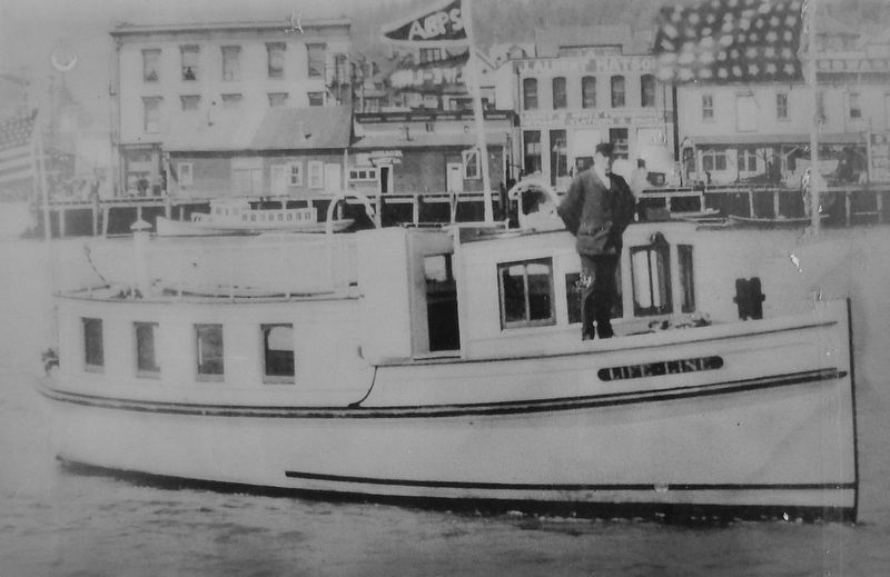
One of the more unusual vessels built in 1912 was Life-Line, a gasoline-powered 24 horsepower propeller vessel designed by George H. Hitchings and built for use as a mission boat by the Rev. G. L. Hall of the American Baptist Publications Society. Marshall summed up Life-Line's career and end as follows:
"This little ship, under zealot Captain Lund, ran up and down the coast for the Baptist Missionary Society saving the souls of
erring seaman and longshoremen alike. After a long and healthy life of do-gooding, she ran ashore just south of Neahkanie. Long forgotten, the little vessel was uncovered by a bulldozer in 1949." (Submitted on February 16, 2018, by Cosmos Mariner of Cape Canaveral, Florida.)
Photographed By Cosmos Mariner, June 25, 2015
5. Marker detail: The floating church Life-Line
The floating church Life-Line, at the Marshfield waterfront around 1912. The captain on board is Rev. G. LeRoy Hall of the American Baptist Church.
Rev. Hall preached to the people at logging camps and farming communities up the river for many years. The first wedding performed on the Lifeline took place on June 29, 1913.
Photograph courtesy of the Victor West Collection
Photograph courtesy of the Victor West Collection
Credits. This page was last revised on October 14, 2020. It was originally submitted on February 16, 2018, by Cosmos Mariner of Cape Canaveral, Florida. This page has been viewed 228 times since then and 14 times this year. Photos: 1, 2, 3, 4, 5, 6. submitted on February 16, 2018, by Cosmos Mariner of Cape Canaveral, Florida. • Bill Pfingsten was the editor who published this page.
