Westminster in Carroll County, Maryland — The American Northeast (Mid-Atlantic)
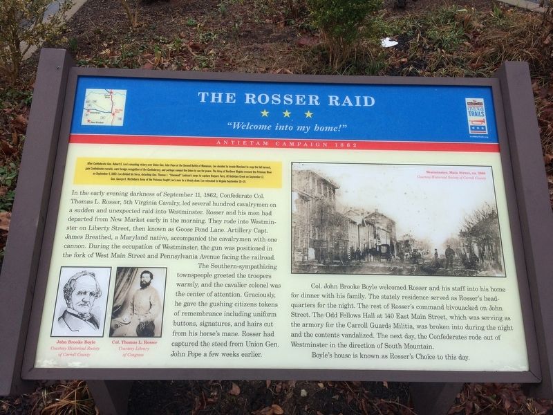
The Rosser Raid
"Welcome into my home!"
— Antietam Campaign 1862 —
After Confederate Gen. Robert E. Lee's smashing victory over Union Gen. John Pope at the Second Battle of Manassas, Lee decided to invade Maryland to reap the fall harvest, gain Confederate recruits, earn foreign recognition of the Confederacy, and perhaps compel the Union to sue for peace. The Army of Northern Virginia crossed the Potomac River on September 4, 1862. Lee divided his force, detaching Gen. Thomas J. "Stonewall" Jackson's corps to capture Harpers Ferry. At Antietam Creek on September 17, Gen. George B. McClellan's Army of the Potomac fought Lee's men to a bloody draw. Lee retreated to Virginia September 18-19.
In the early evening darkness of September 11, 1862, Confederate Col. Thomas L. Rosser, 5th Virginia Cavalry, led several hundred cavalrymen on a sudden and unexpected raid into Westminster. Rosser and his men had departed from New Market early in the morning. They rode into Westminster on Liberty Street, then known as Goose Pond Lane. Artillery Capt. James Breathed, a Maryland native, accompanied the cavalrymen with one cannon. During the occupation of Westminster, the gun was positioned in the fork of West Main Street and Pennsylvania avenue facing the railroad.
The Southern-sympathizing townspeople greeted the troopers warmly, and the cavalier colonel was the center of attention. Graciously, he gave the gushing citizens tokens of remembrance including uniform buttons, signatures, and hairs cut from his horse's mane. Rosser had captured the steed from Union Gen. John Pope a few weeks earlier.
Col. John Brooke Boyle welcomed Rosser and his staff into his home for dinner with his family. The stately residence served as Rosser's headquarters for the night. The rest of Rosser's command bivouacked on John Street. The Odd Fellows Hall at 140 East Main Street, which was serving as the armory for the Carroll Guards Militia, was broken into during the night and the contents vandalized. The next day, the Confederates rode out of Westminster in the direction of South Mountain.
Boyle's house is known as Rosser's Choice to this day.
Erected by Maryland Civil War Trails.
Topics and series. This historical marker is listed in these topic lists: Animals • War, US Civil. In addition, it is included in the Maryland Civil War Trails series list. A significant historical date for this entry is September 11, 1862.
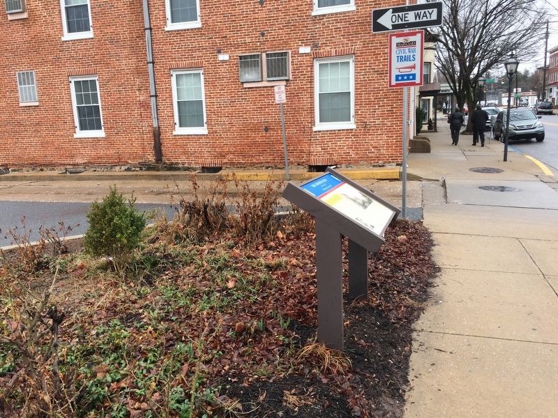
Location. 39° 34.625′ N, 76° 59.881′ W. Marker is in Westminster, Maryland, in Carroll County. Marker is at the intersection of West Main Street and Carroll Street, on the left when traveling north on West Main Street. Touch for map. Marker is at or near this postal address: 79 W Main St, Westminster MD 21157, United States of America. Touch for directions.
Other nearby markers.
Credits. This page was last revised on March 14, 2024. It was originally submitted on February 25, 2018, by Devry Becker Jones of Washington, District of Columbia. This page has been viewed 832 times since then and 56 times this year. Last updated on July 10, 2022, by Carl Gordon Moore Jr. of North East, Maryland. Photos: 1, 2. submitted on February 25, 2018, by Devry Becker Jones of Washington, District of Columbia. • Bill Pfingsten was the editor who published this page.

