Annapolis in Anne Arundel County, Maryland — The American Northeast (Mid-Atlantic)
Annapolis National Cemetery
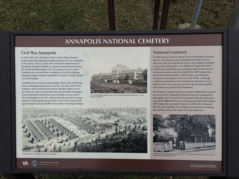
Civil War Annapolis
In April 1861, Gen. Benjamin Butler and his Massachusetts troops entered the Maryland capital to ensure the state remained in the Union. The U.S. Army then reformed the Department of Annapolis, headed by Butler, to secure communication between the North and Washington, D.C. By summer, the U.S. Naval Academy was converted into a hospital. As Civil War fighting along the eastern seaboard intensified, St. John's College became a second hospital.
Annapolis also served as a parole camp. Union and Confederate forces exchanged prisoners on a one-for-one basis. Some were confined, others paroled and released. Paroled soldiers swore an oath to not take up arms until they were formally exchanged. Union authorities wanted their men available as soon as they were exchanged, so the U.S. Army housed the parolees in camps instead of allowing them to go home. At one time, Camp Parole near Annapolis housed 25,000 Union soldiers awaiting exchanged.
(sidebar)
National Cemetery
In 1862, the government leased 4 acres from Judge Nicholas Brewer. This land became Annapolis National Cemetery. Men who died at Camp Parole or the city's military hospitals occupy most of the graves. An 1868 army inspection listed 2,661 burials, including seven civilians, three female nurses, one Russian sailor, and one child. By the 1874 inspection, the list had been revised to 2,482 burials, including 211 unknowns and fourteen citizens. In the 1910s, a federal commission identified a few Confederate prisoner-of-war dead buried in the cemetery, and their graves were marked with distinctive pointed-top headstones.
The irregular-shaped cemetery occupies rolling land enclosed by a stone wall. Originally burial sections were separated by grass paths, and a central drive extended from the main gate, around the flagstaff mound, to the opposite wall. The original 1871 lodge was razed and replaced in 1940 with a Colonial Revival-style building. The old gates, too narrow for automobile access, were replaced at the same time.
Erected by U.S. Department of Veterans Affairs, National Cemetery Administration.
Topics and series. This historical marker is listed in these topic lists: Cemeteries & Burial Sites • War, US Civil. In addition, it is included in the National Cemeteries series list. A significant historical month for this entry is April 1861.
Location. 38° 58.599′ N, 76° 30.318′ W. Marker is in Annapolis, Maryland, in Anne Arundel County. Marker can be reached from West Street (Maryland Route 450) west of Taylor Avenue (Maryland Route 435), on the right when traveling west. On
Other nearby markers. At least 8 other markers are within walking distance of this marker. A National Cemetery System (here, next to this marker); Annapolis During The Civil War (within shouting distance of this marker); Anne Catharine Green (within shouting distance of this marker); Brown-Leanos Memorial Park (about 300 feet away, measured in a direct line); Sharpening Our Governing Teeth: The 1708 Charter of Annapolis (about 300 feet away); George H. Phelps, Jr. (about 400 feet away); John Snowden Memorial (about 500 feet away); Who was Henry Davis? (about 500 feet away). Touch for a list and map of all markers in Annapolis.

Photographed By Devry Becker Jones (CC0), March 2, 2018
3. Entrance Gates to Annapolis National Cemetery located on West Street

Photographed By Devry Becker Jones (CC0), March 2, 2018
4. National Register of Historic Places plaque on the grounds
has been listed in
The National Register
of
Historic Places
by the
United States Department of the Interior
1996

Photographed By Devry Becker Jones (CC0), March 2, 2018
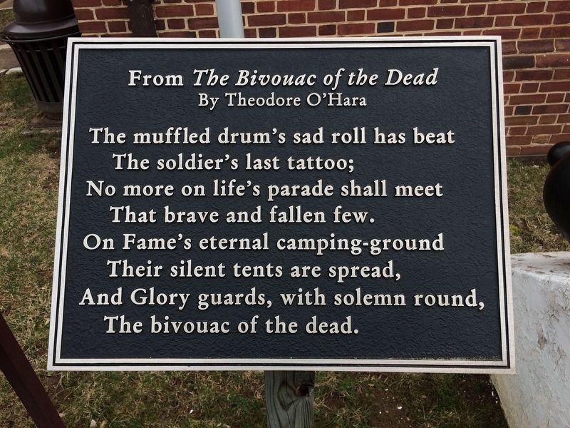
5. From The Bivouac of the Dead plaque nearby

Photographed By Devry Becker Jones (CC0), March 2, 2018
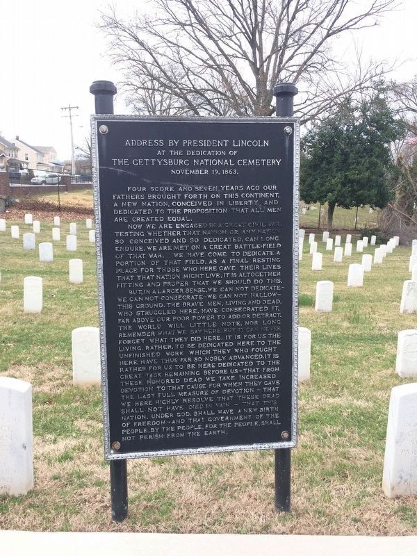
6. Address by President Lincoln at the Dedication of the Gettysburg National Cemetery Marker
Credits. This page was last revised on March 6, 2021. It was originally submitted on March 2, 2018, by Devry Becker Jones of Washington, District of Columbia. This page has been viewed 454 times since then and 44 times this year. Photos: 1, 2, 3, 4, 5, 6. submitted on March 2, 2018, by Devry Becker Jones of Washington, District of Columbia. • Bernard Fisher was the editor who published this page.

